The last day of 1st Testbed week.

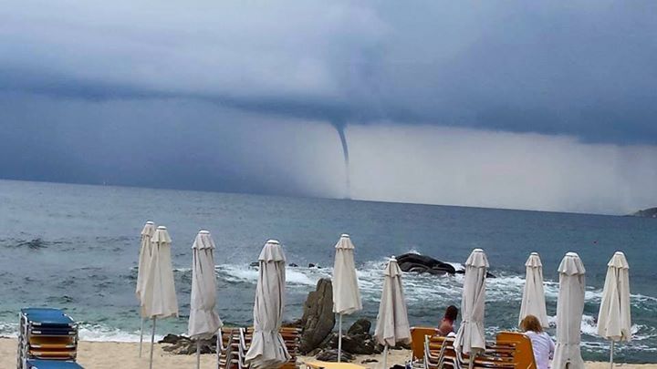
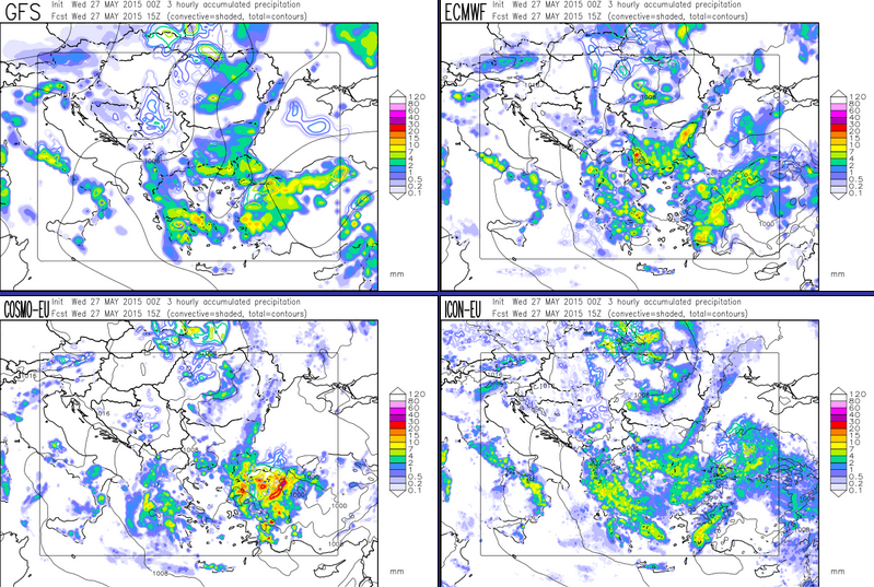
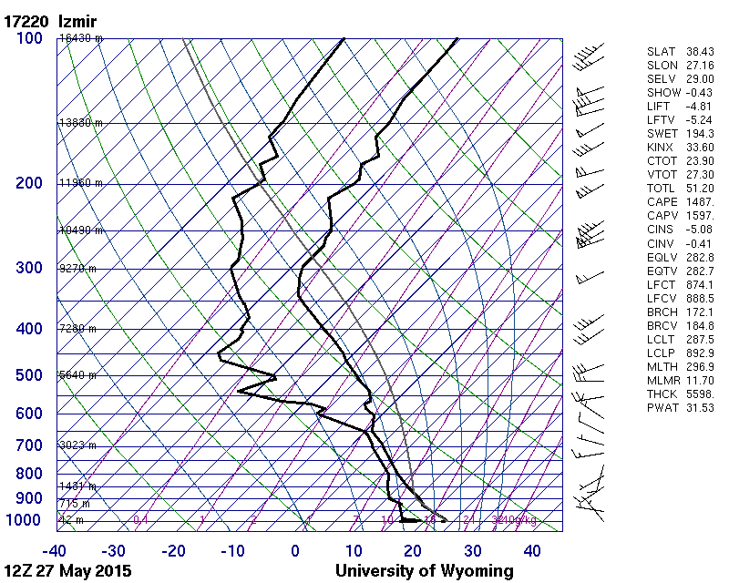
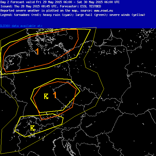
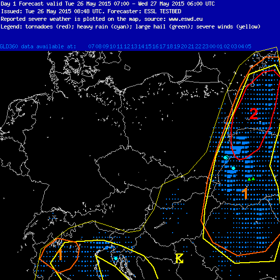
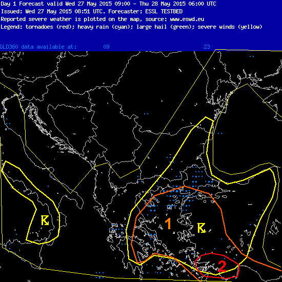
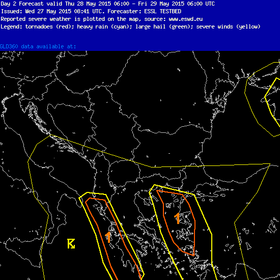
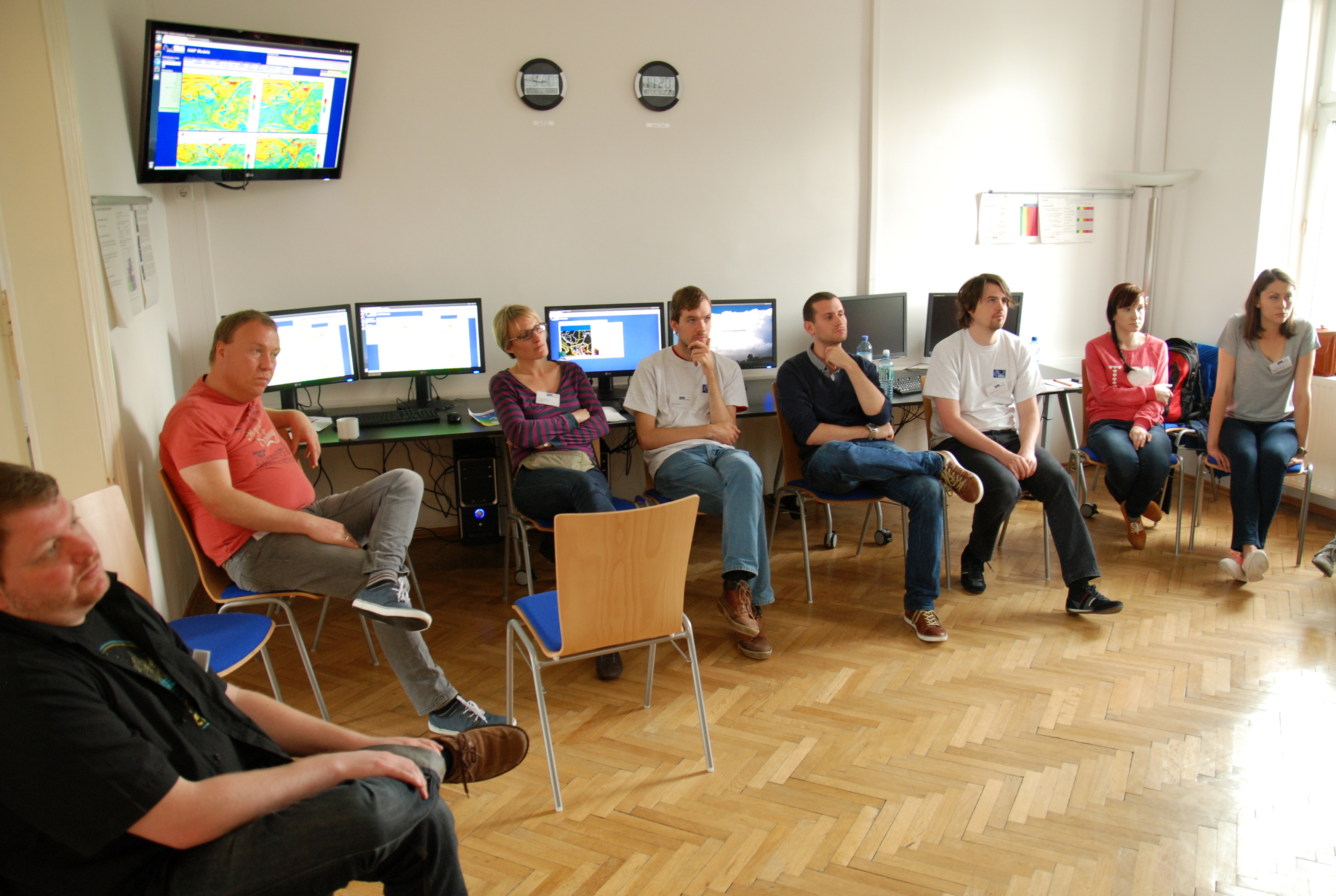
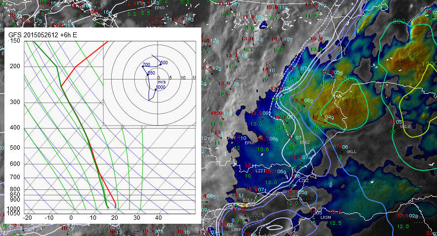
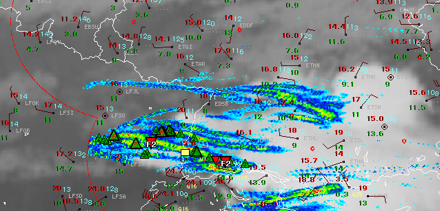
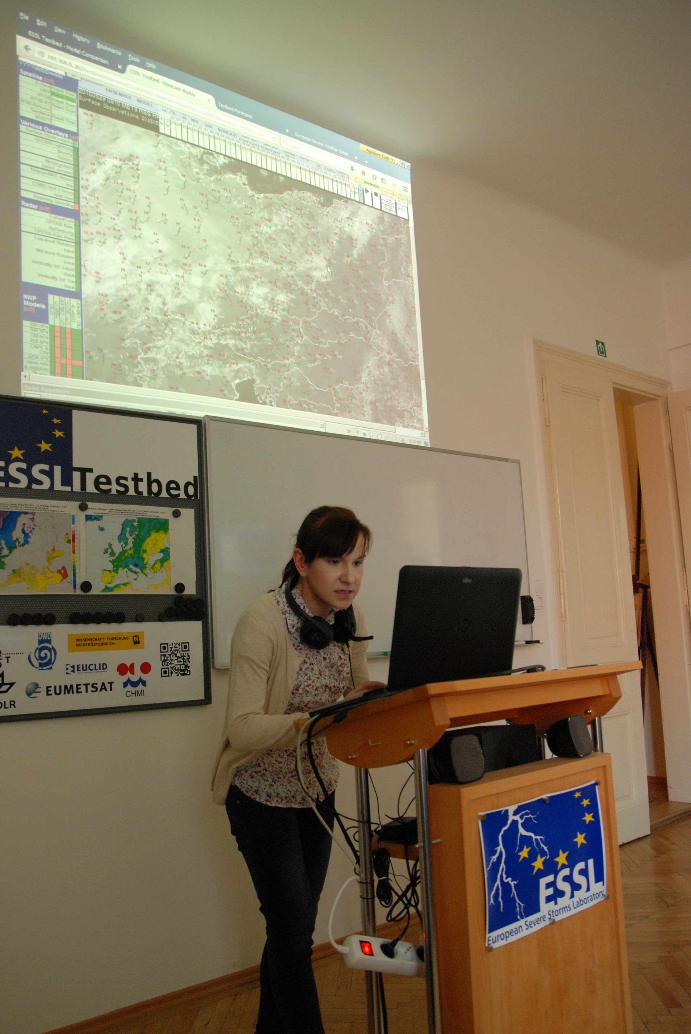
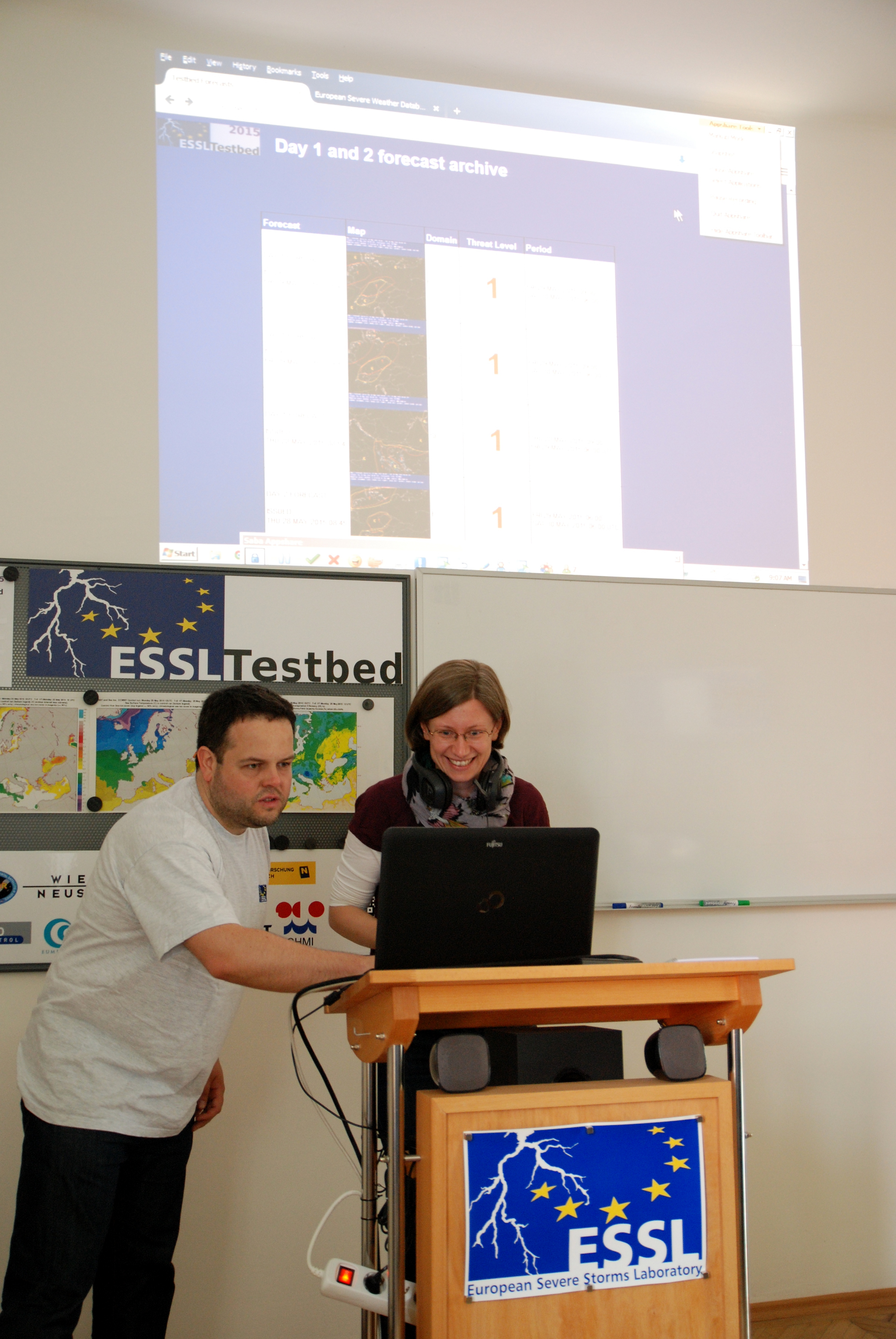
Thunderstorms in Europe during the 1st ESSLTestbed week were not very active in producing severe weather phenomena. However, we were able to predict  few waterspout, large hail and heavy rain cases, mainly in the SE and E Europe. In the last day our participants focused on evaluating nowcasting and NWP products tested in the testbed. In the morning hours we also divided them into two groups to prepare forecast for this day in the Central European domain. One group was supported by Tomas Pucik while the other by Mateusz Taszarek. Here are these two forecasts:

prog1 prog2

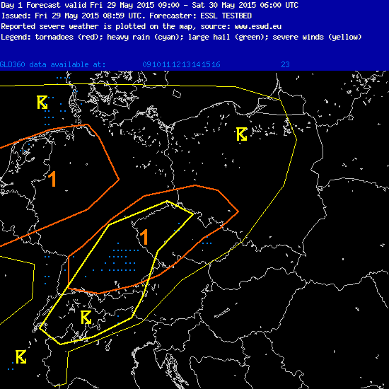
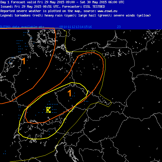
Our forecasts were consistent in expecting supercell thunderstorms over S Germany and W Czech Republic. We also predict organized line of storms (along the cold front) approaching Benelux and NW Germany in the evening hours. Participants were also very active in preparing and analyzing recent surface observational data. Forecasts were presented on the teleconferencing session by Susanne Theis (DWD) and Anna Wozniak (IMGW).

22

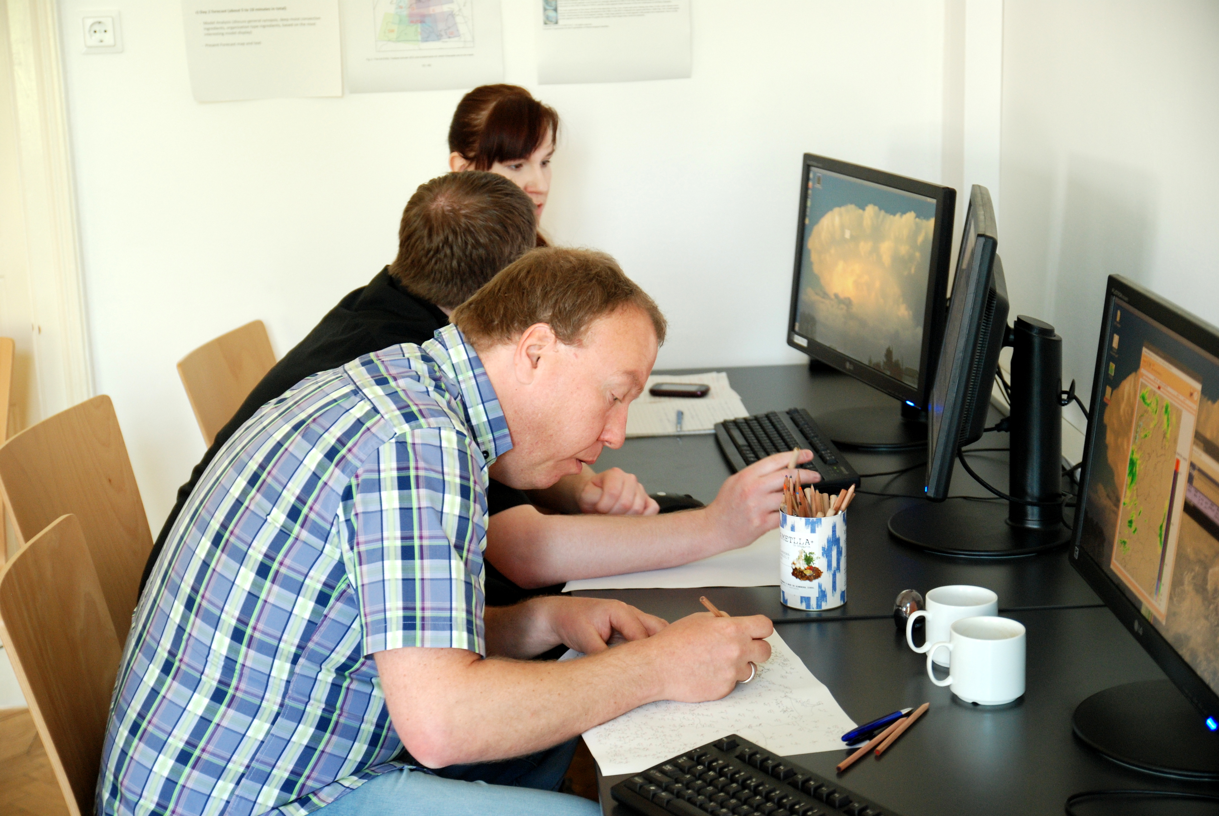
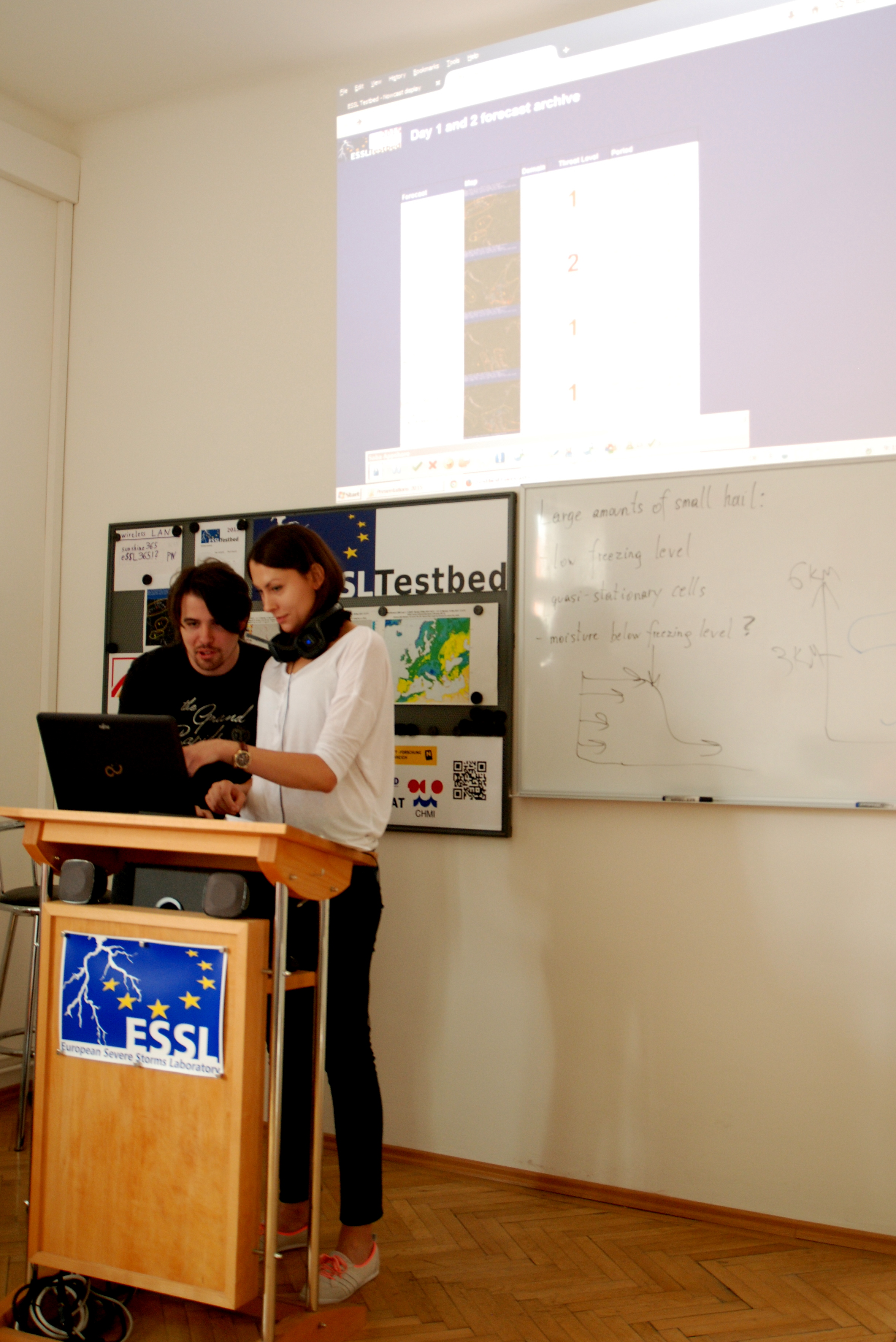
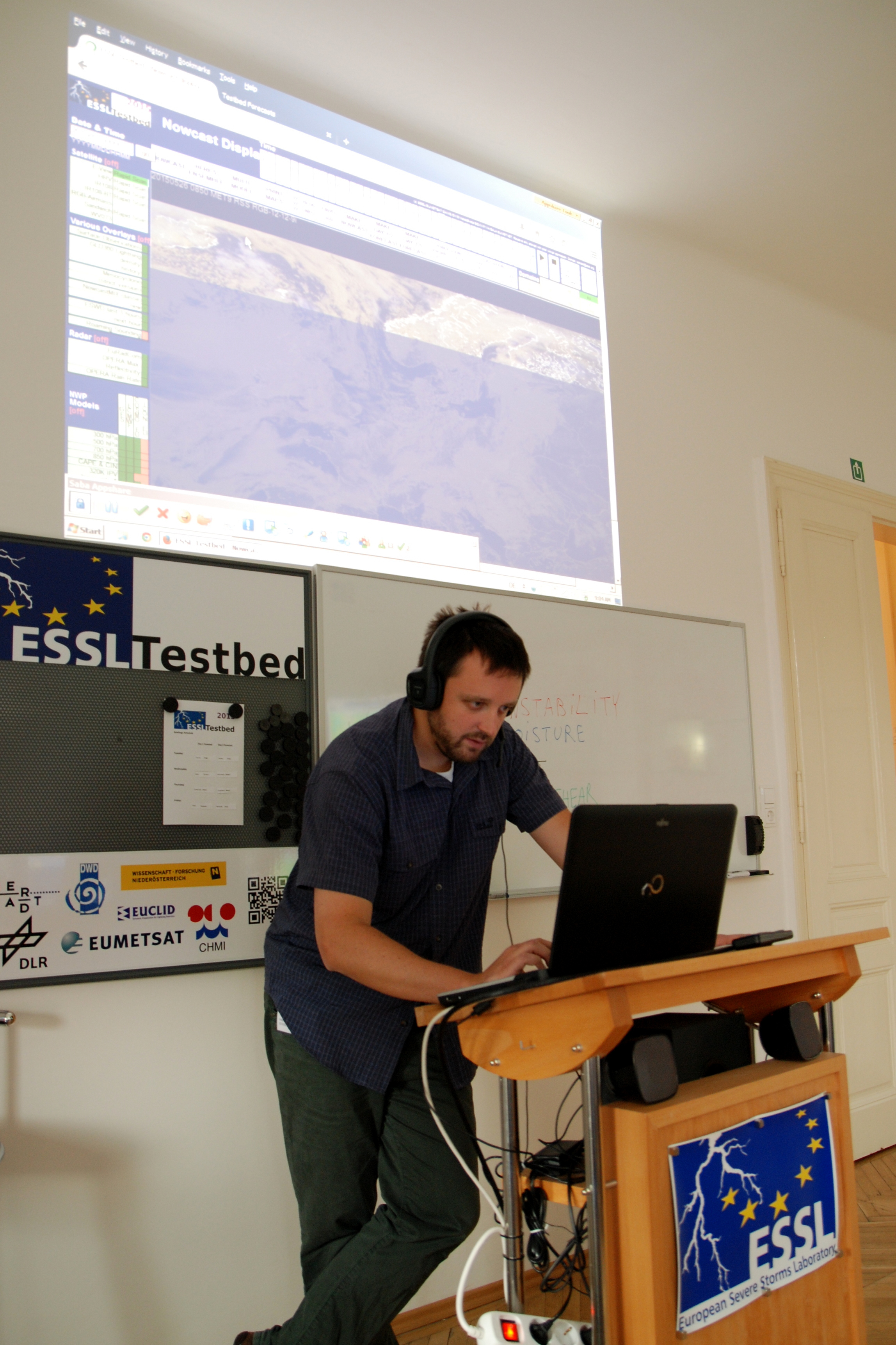
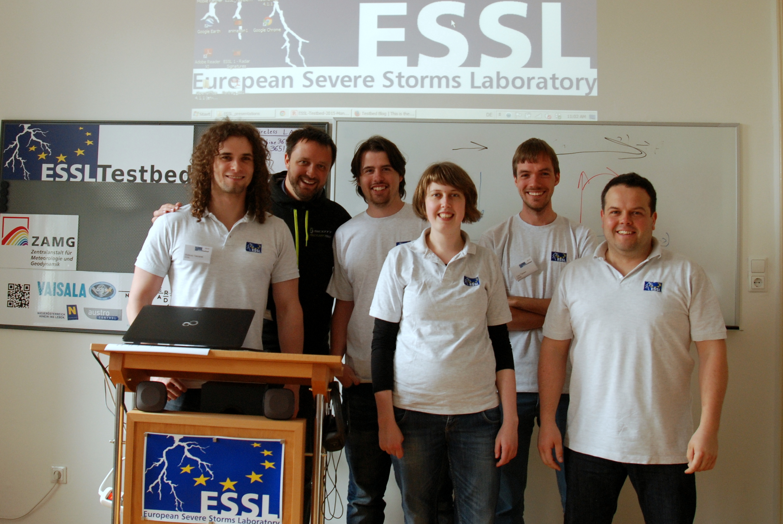
Team A working on the forecast

23

Team B working on the forecast
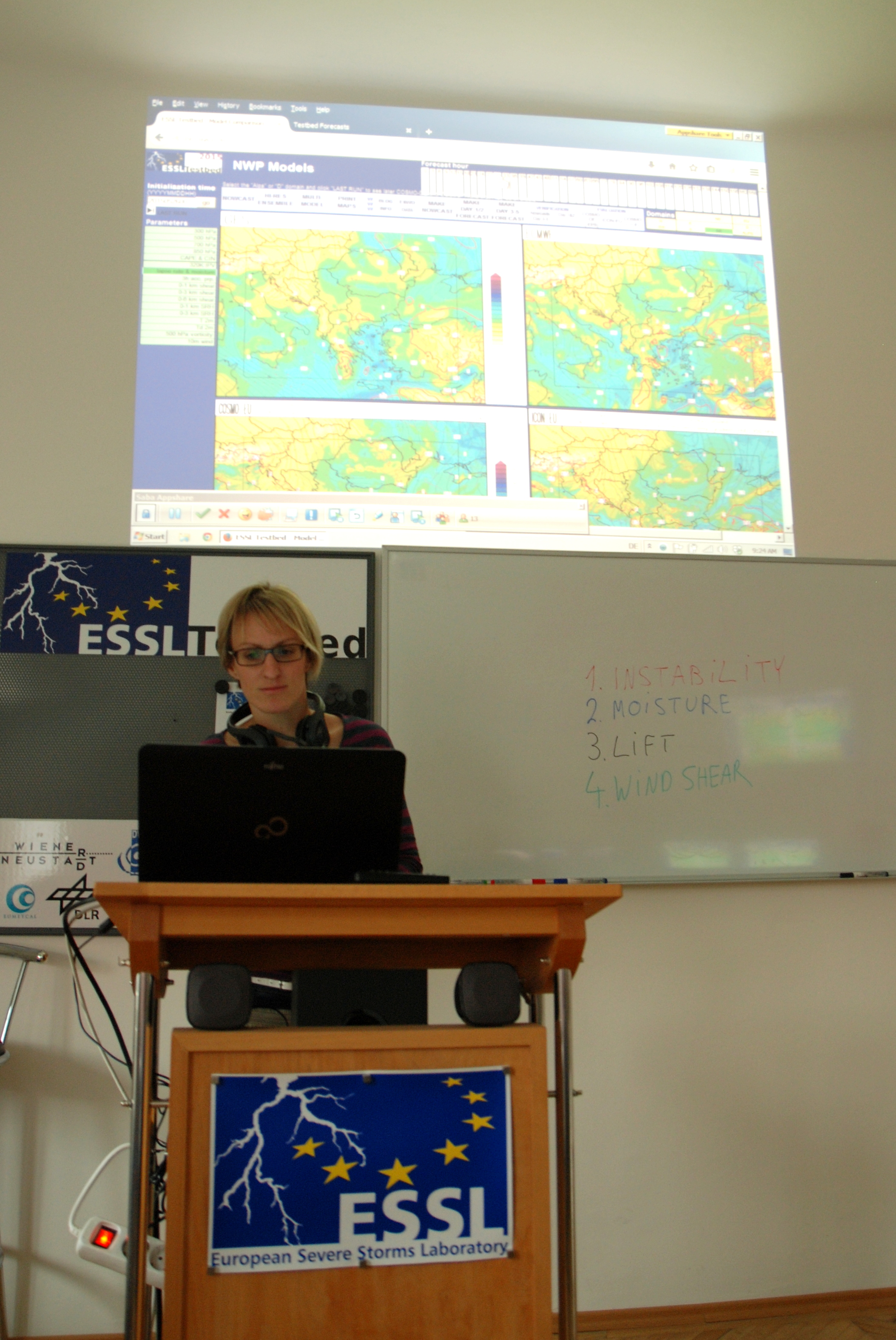
25

Anna Wozniak

24

Susanne Theis

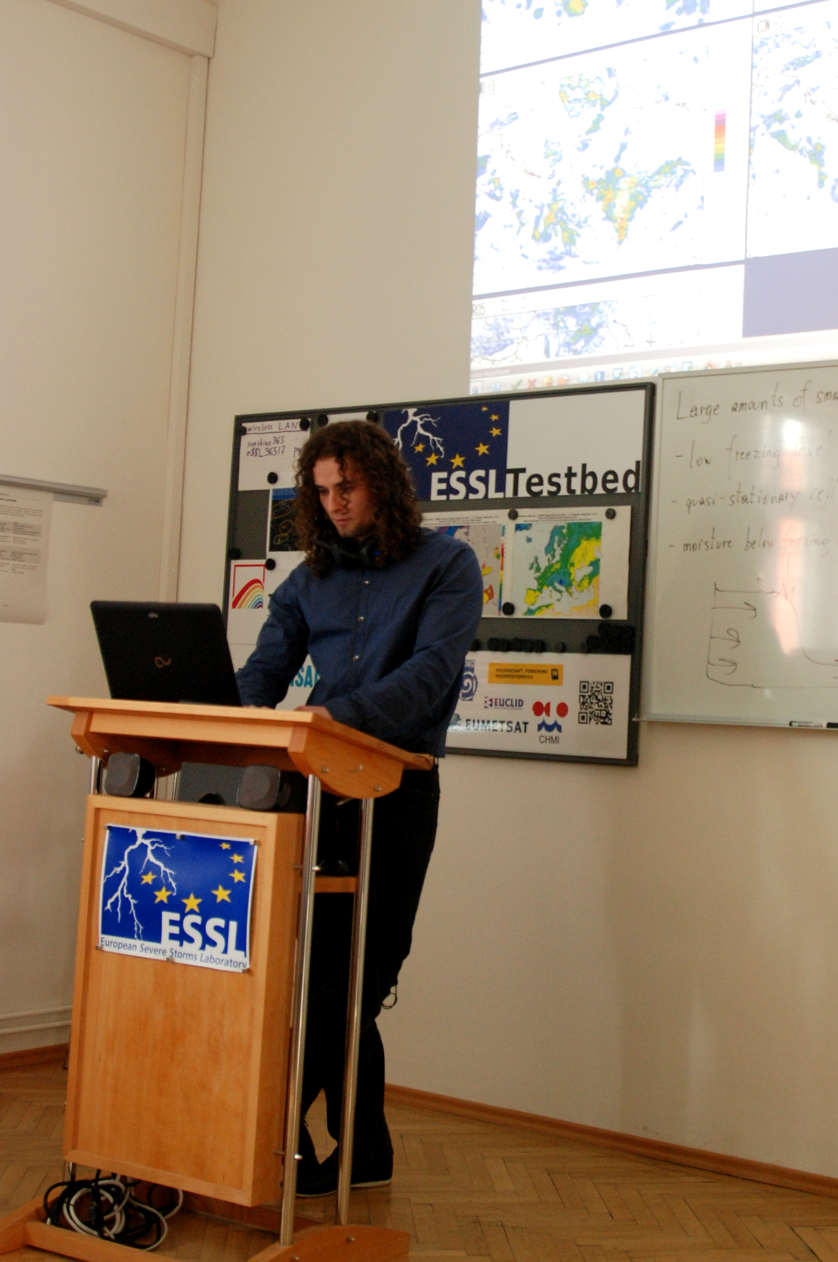
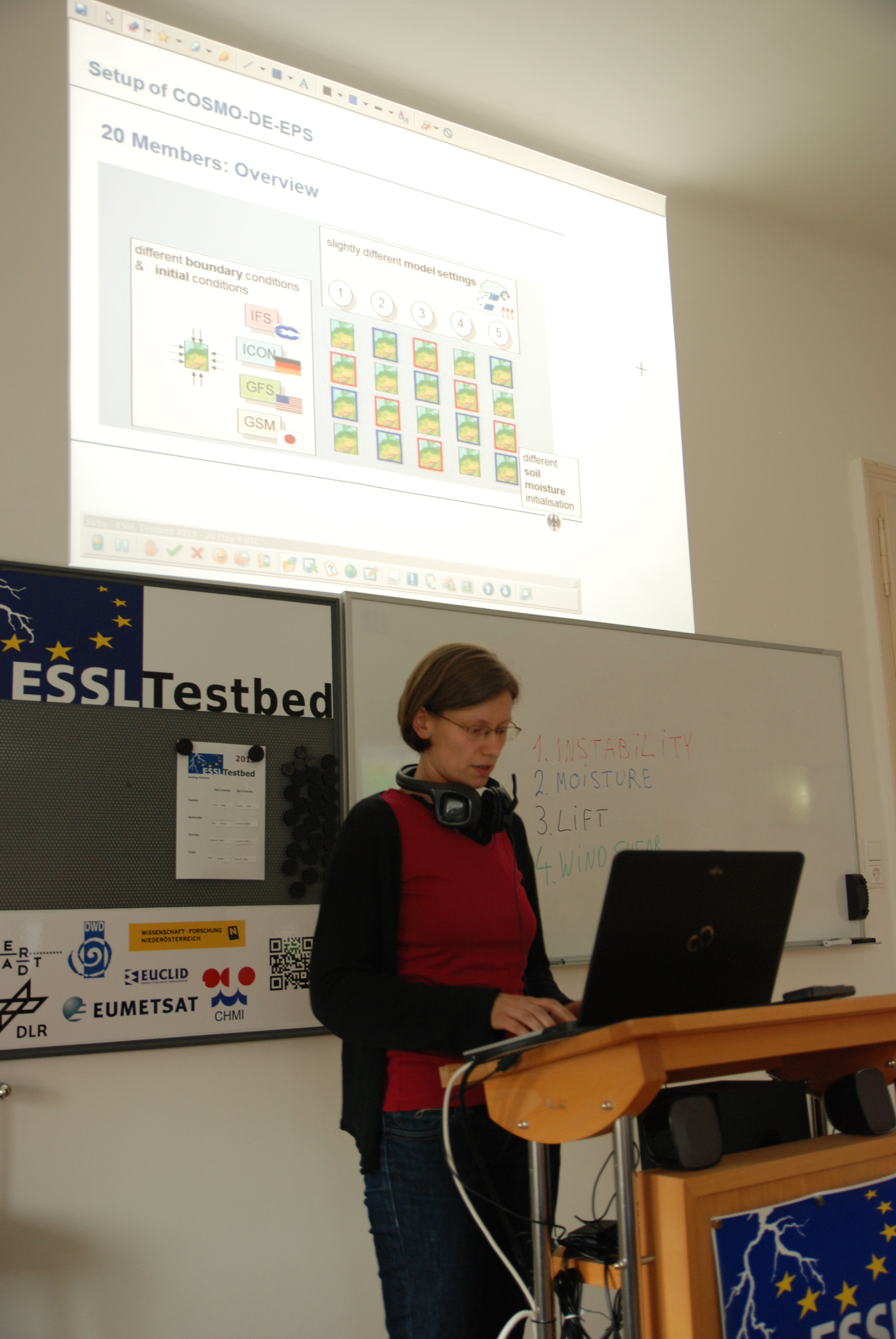
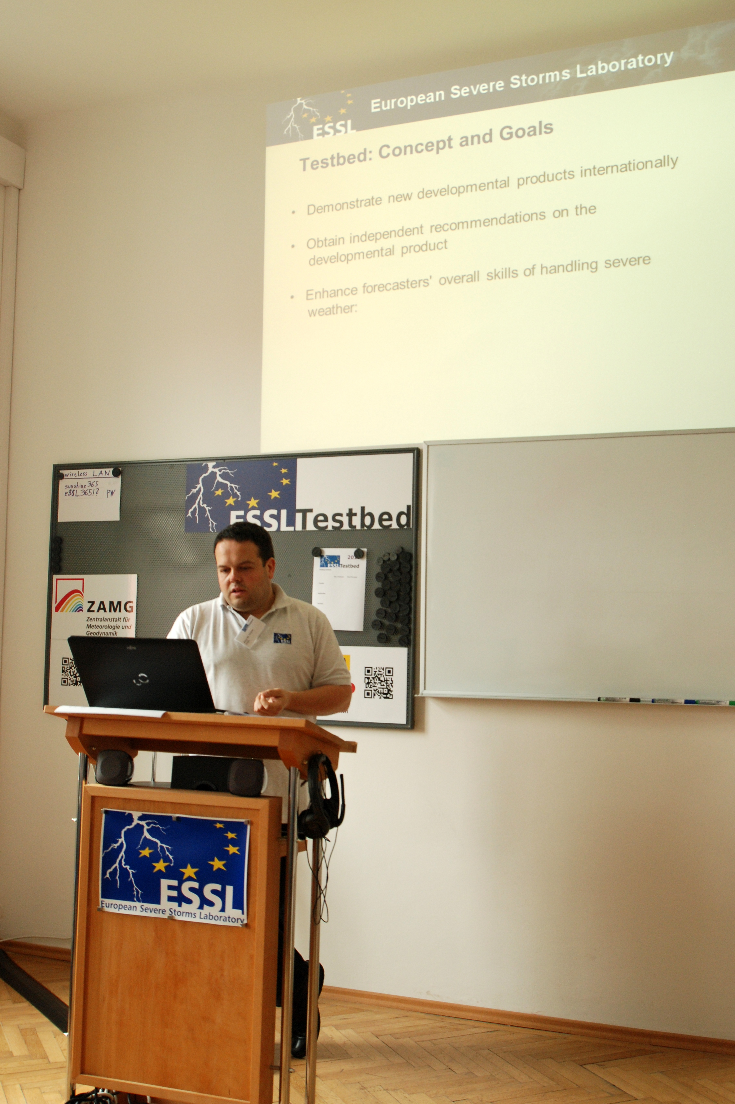
Very interesting lecture of the day was given by Tomas Pucik, who presented his current research on sounding-derived parameters and their use in forecasting particular severe weather phenomena (tornado, large hail, severe wind gusts, heavy precipitation) associated with thunderstorms.
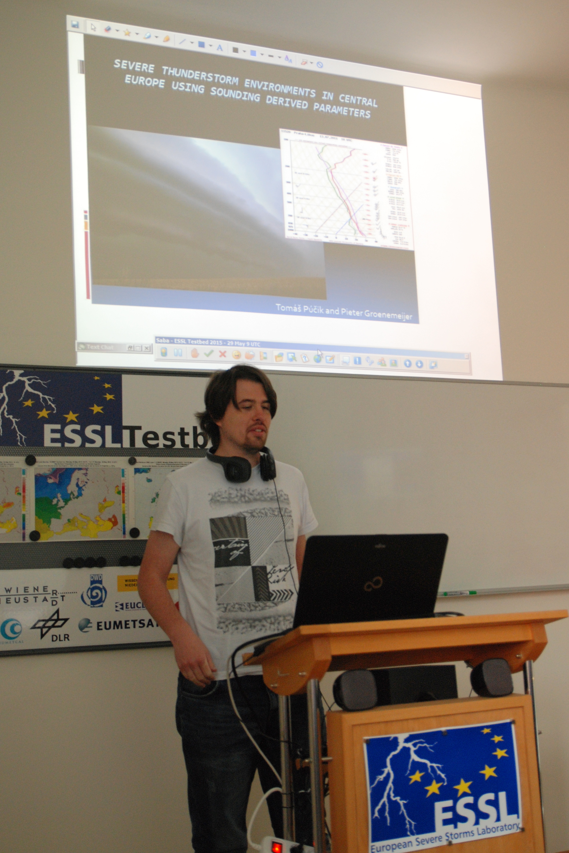
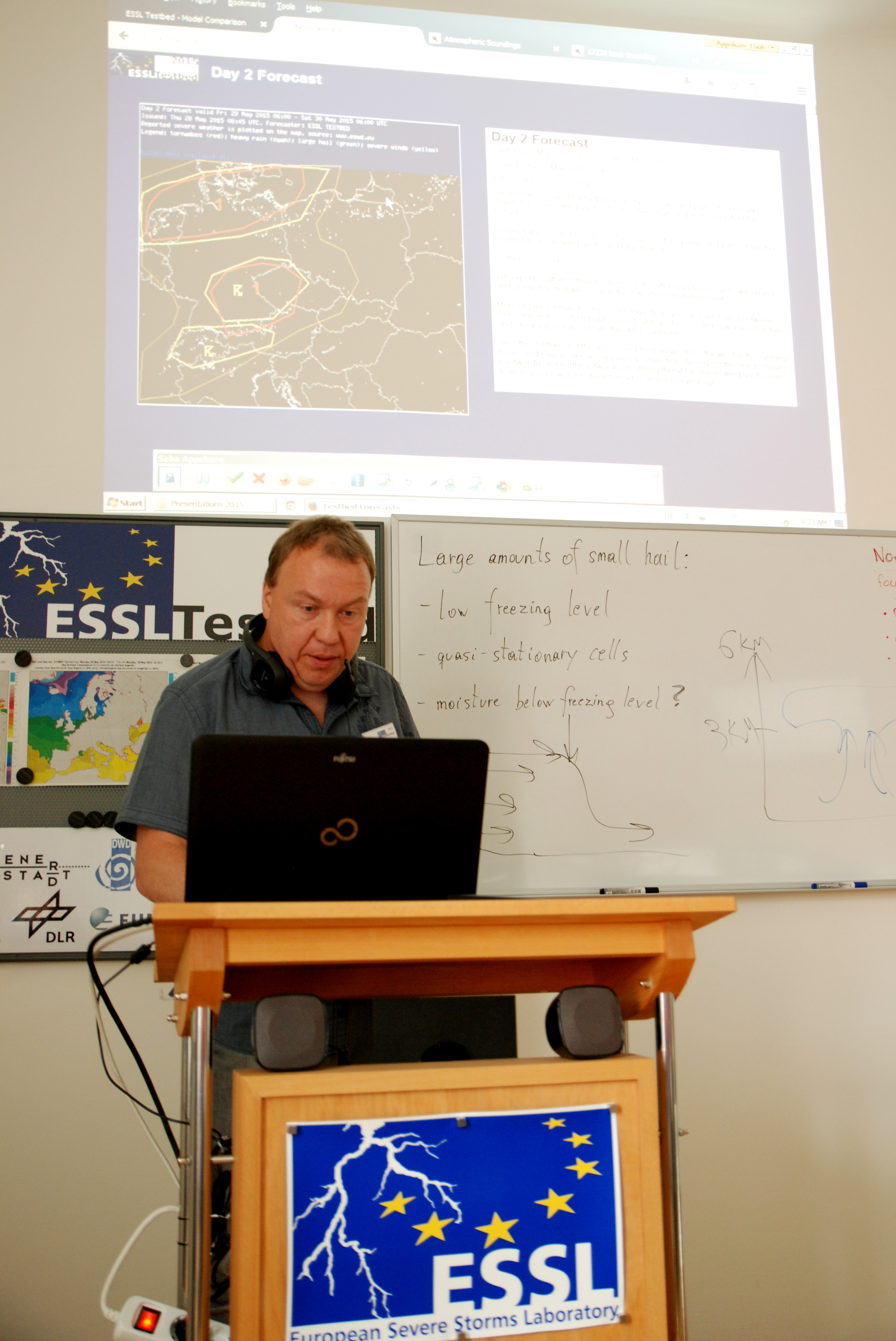
26

Tomas Pucik

Looking forward for the severe weather during the next week!

Share

Difficult Turkey

This day was opened by Mateusz Taszarek who started with the forecast verification. The main area of interest was SE Europe with the level 1 threat for E Greece, Aegean Sea , part of Turkey and Bulgaria, and level 2 for SW Turkey. As it turned out we successfully predicted thunderstorms producing large amounts of small hail in Greece and tornado over N Aegean Sea.

Mateusz Taszarek

Mateusz Taszarek

19

Tornado in the N parts of Aegean Sea, 27th May (source: ESWD)

However, there were no thunderstorms over W and SW part of Turkey. This was a little suprise for us, because almost all models were consistent with producing convective initiation over this region. Also advection of potential vorticity, orographic lift, low-level convergence and good boundary layer moisture suggested good conditions for thunderstorm developement.

panel

Even sounding from Izmir for 12UTC indicated nice CAPE and lack of convective inhibition:

1234

… but in reality nothing happened there, and we could not find the reason why. Sometimes no matter how you try, the Mother Nature keeps her secrets to herself!

21

15 UTC 27 May, Sandwich product.

After the verification, our participants began to start with Day1 and Day2 forecasts. Afterwards, weather briefiengs on the teleconferencing session were presented by Maria Orawczak and Bernd Zeuschner.

16

Maria

17

Bernd

And this is a forecast for tomorrow. We expect some supercells over German – Czech Republic border and the line of storms passing eastwardly through N Germany in the late evening hours. Tomorrow in the evening we will see what happened.

6

The lecture of the day on the mesocyclone detection and radar products was given remotely by Thomas Hengstebeck (DWD). Our day ended with the testing radar products from DWD and testing the performance of COSMO-DE and COSMO Ensamble numerical models on the example of tornadoes in Germany on 5th and 13th May.


Share

Week 1, day 3

Today our day started with the verification of yesterday’s forecast that was conducted by Tomas Pucik. As it turned out, the forecast was quite good, however no severe weather reports were available in the level 2 area.
ver1

11

Tomas Pucik

Then, participants started to prepare their Day1 and Day2 forecasts with the support of Mateusz Taszarek and Tomas Pucik. Finally, these were presented by Stavros Dafis and Robert Herrmann.

1213

And here are the forecasts:

showforecast.cgi

Forecast for 27 May

day2

Forecast for 28 May


Share

We got our hands dirty!

Today participants started to work very hard on their nowcasting and forecasting workshops. At the beginning of the day we divided into two teams, the one was working with Tomas Pucik on today’s forecast while the second one together with the support of Mateusz Taszarek created forecast for tomorrow (27th of May) for SE EU domain:

1

After the forecasts have been made, they were presented on the Saba teleconferencing session by Helge Tuschy and Tanja Renko:

68

Finally, just before the lunch break Susanne Theis (DWD) gave the lecture on COSMO-DE-EPS and ICON-EU numerical weather prediction models.

9

Susanne Theis (DWD)

7

Participants during the lecture

After the lunch break participants got back to their duties. First team started to work on the day 3-5 convective outlook while the second one faced the difficulty of nowcasting severe thunderstorms in the Ukraine, Belarus and Poland.

4

Forecast for 28th May

3

Forecast for 29th May

2

Forecast for 30th May

10

Tomas Pucik having a discussion with Helge Tuschy on nowcasting

In the end of the shift, thunderstorms over Poland and Ukraine evolved into nice MCS!

nowcast

Sandwich satellite image + CAPE +6h GFS forecast + roaming sounding tool + surface observations at 1700 UTC. Please note the overshooting tops on the Ukraine-Poland border

Tomorrow we start our session at 0700 UTC with the verification of our nowcasts and forecasts.

Share

Welcome to ESSL Testbed 2015

ESSL Testbed 2015 just started!

International team consisting of Alois Holzer, Tomas Pucik, Lars Tijssen, Mateusz Taszarek, Helge Tuschy and Magdalena Pichler opened the first week of the Testbed. The only one person who was missing was Pieter Groenemeijer, the director of the ESSL. He will join us on Wednesday.

1

ESSL Testbed 2015 team. From the left: Mateusz Taszarek, Helge Tuschy, Tomas Pucik, Magdalena Pichler, Lars Tijssen and Alois Holzer.

At the 1st week we have participants from Greece, Germany, Croatia and Poland.

The opening session was conducted by Alois Holzer who introduced participants to the concept of the Testbed. Then the basis of scientific forecasting was given by Tomas Pucik. Finally, the Testbed nowcasting display was discussed by Mateusz Taszarek

3

Alois Holzer and introduction of the Testbed concept.

2

Participants during Alois’s presentation.

In the end, participants within the use of DWD nowcasting experimental products were studying the severe weather outbreak from 13th May in south-western Germany. The analysis yielded that low and mid level rotation tracks were good in identifying tornado threat while the vertically integrated ice was good in estimating the potential of the supercell to produce a large hail. .

10

Share