NOAA Hazardous Weather Testbed Forecast Program Operations Coordinator Adam Clark presented their state of affairs at the ESSL Testbed on Thursday:
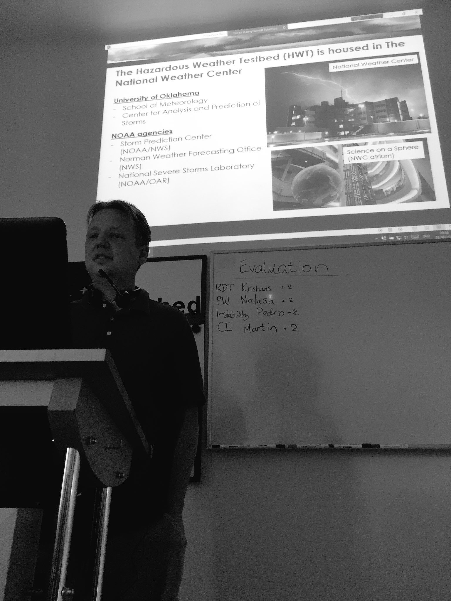

NOAA Hazardous Weather Testbed Forecast Program Operations Coordinator Adam Clark presented their state of affairs at the ESSL Testbed on Thursday:
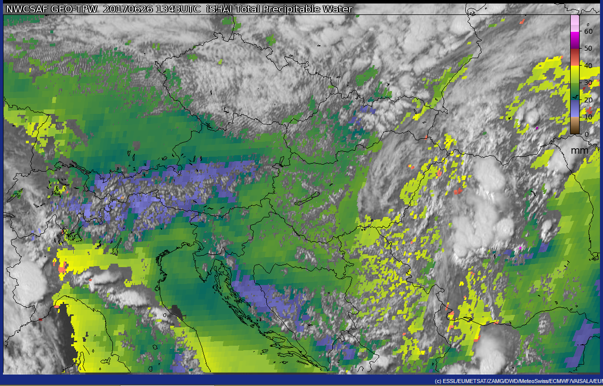
ICON EPS shows elevated probabilities for excessive rainfall over parts of eastern/northeastern Germany in a 12 hour timeframe from 06 to 18 UTC today (see image). Already yesterday’s ICON EPS highlighted this area for a heavy rain threat. The maximum of the ENS members today even show 12 h accumulations of more than 120 mm in two small areas, which is extreme:
![]()
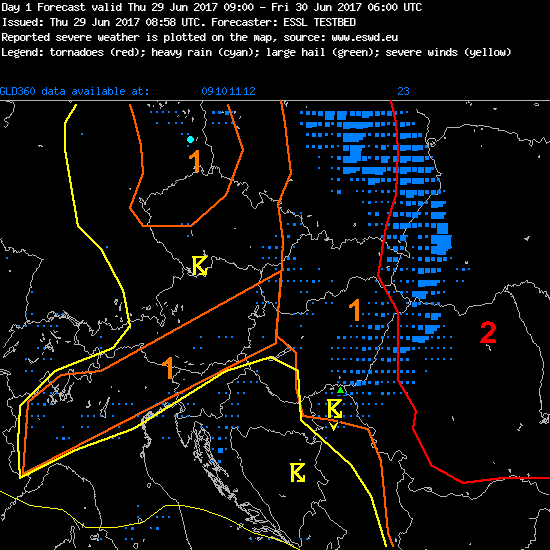
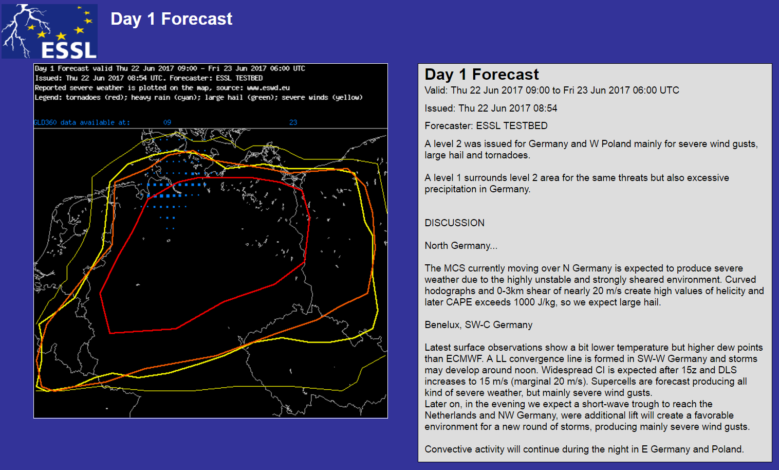
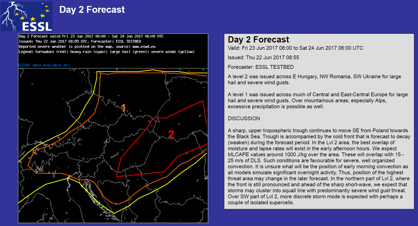
Partly based on this the day 1 forecasting team highlighted the area for a risk of heavy rainfall, while the large level 2 area over eastern Europe is mainly for severe thunderstorms with large to very large hail, severe gusts and maybe a few tornadoes:
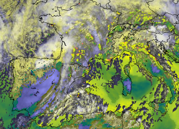
The NWCSAF product “Rapid Developing Thunderstorms – RDT” demonstrates that it indeed is good in highlighting properties of relatively young but rapidly intensifying storms (see red bordered areas in northern half of screenshot). 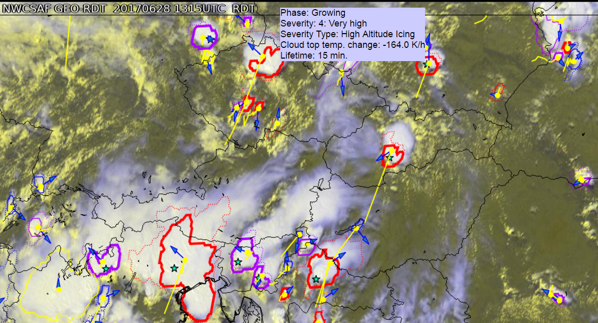
Based on their nature it is much more difficult to tackle large mesoscale convective complexes, as can be seen in the southern half of the screenshot. There the detection of the most active area of MCSs or MCCs is challenging.
Matt Parker from North Carolina State University in Raleigh today presented the outlook for day 2 and the following days at today’s 9 UTC severe weather briefing:
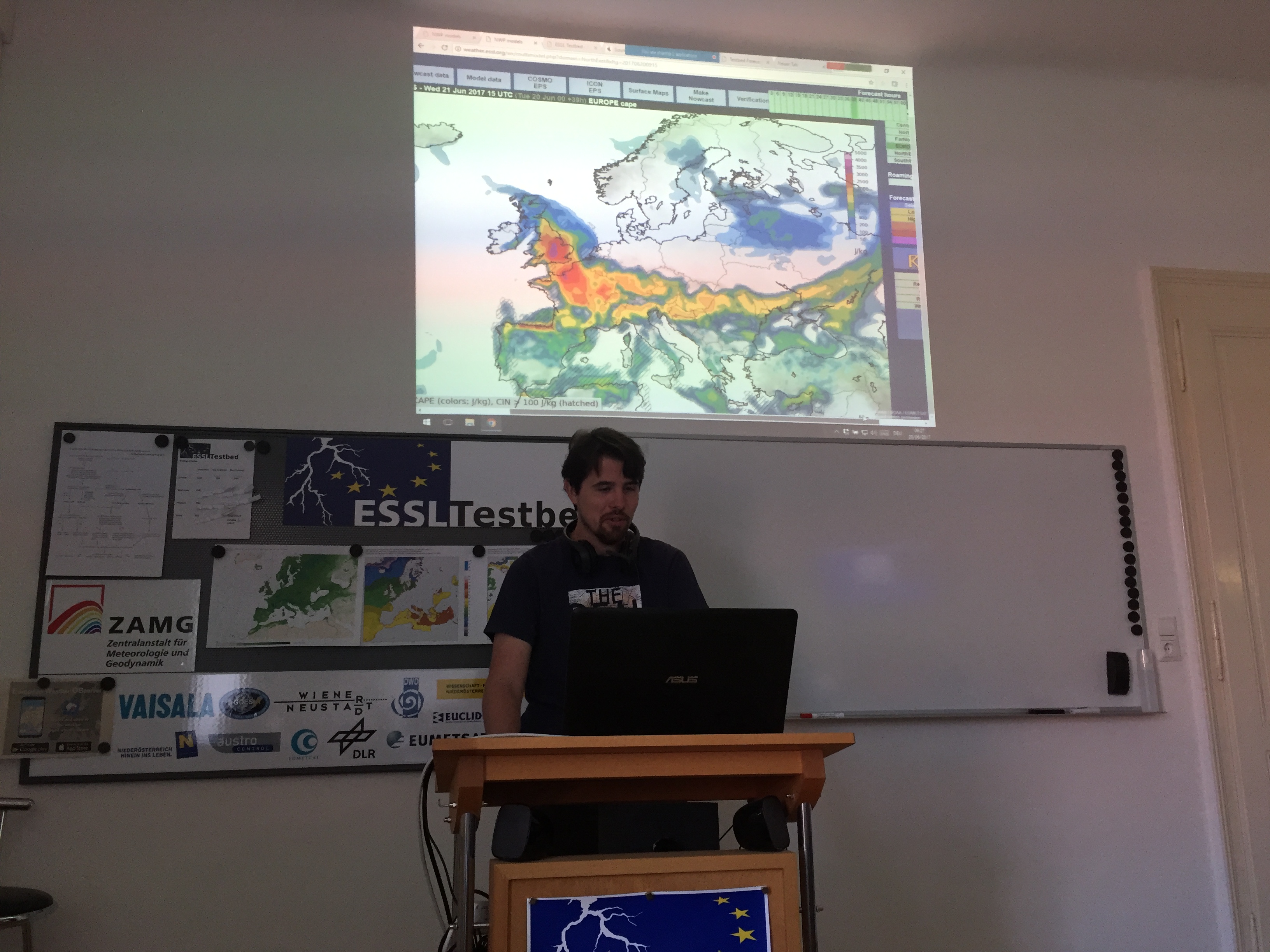
There is an elevated risk for severe weather outbrakes in Central Europe next week. See ECMWF IFS forecast for Wednesday as an example with high CAPE high shear present in many places:

Both for today and tomorrow forecaster teams went for a level 2:
Today there is a threat for tornadoes, extreme winds, very large hail in large parts of central, north and eastern Germany and during night even into western Poland.
Latest radar and lightning detection derived products underline the severe storms threat.
Lightning density tracks with some jumps in lightning density (yellow) along the track: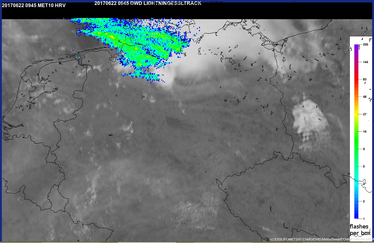
Low level rotation tracks and mesocyclone detections:
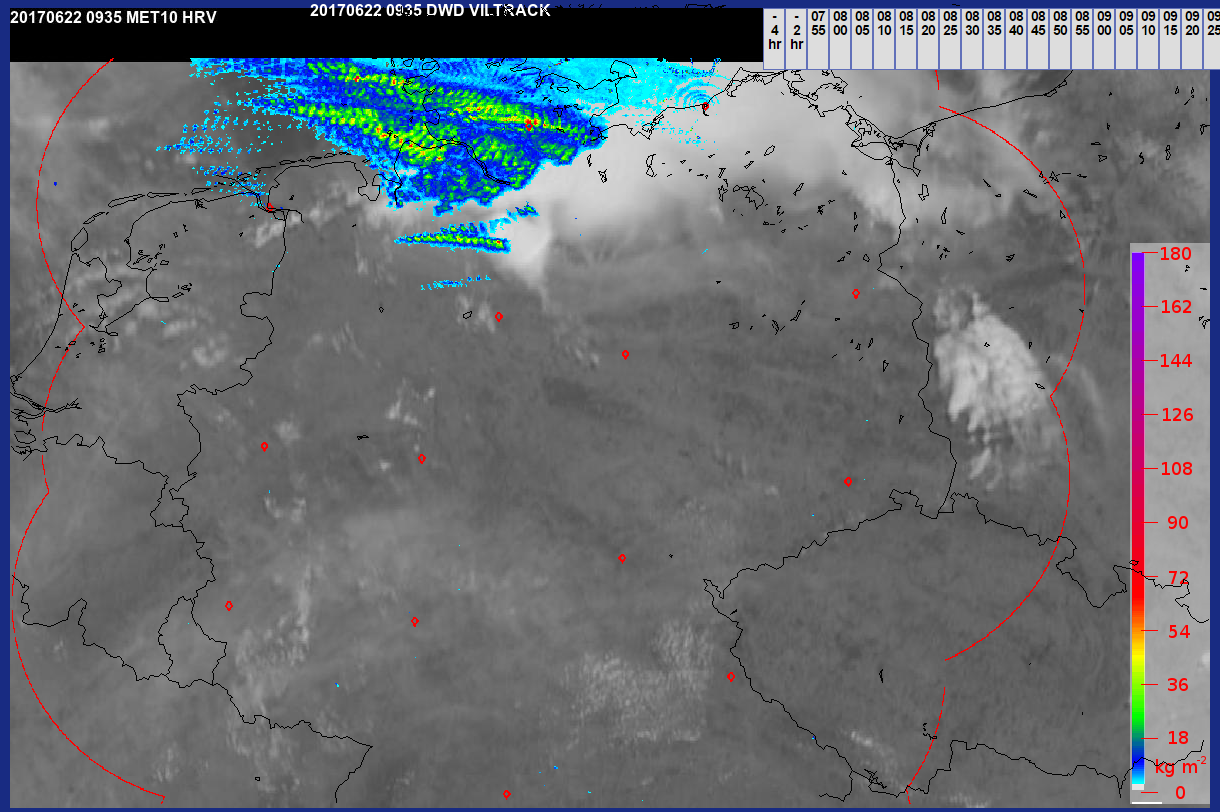
VIL tracks with some values up to 100 kg/m²:
Tomorrow the main threat is large hail and extreme winds over large areas of central-eastern Europe:
On day 2 Tomas Pucik was discussing surface moisture overestimation of GFS compared to the other models:
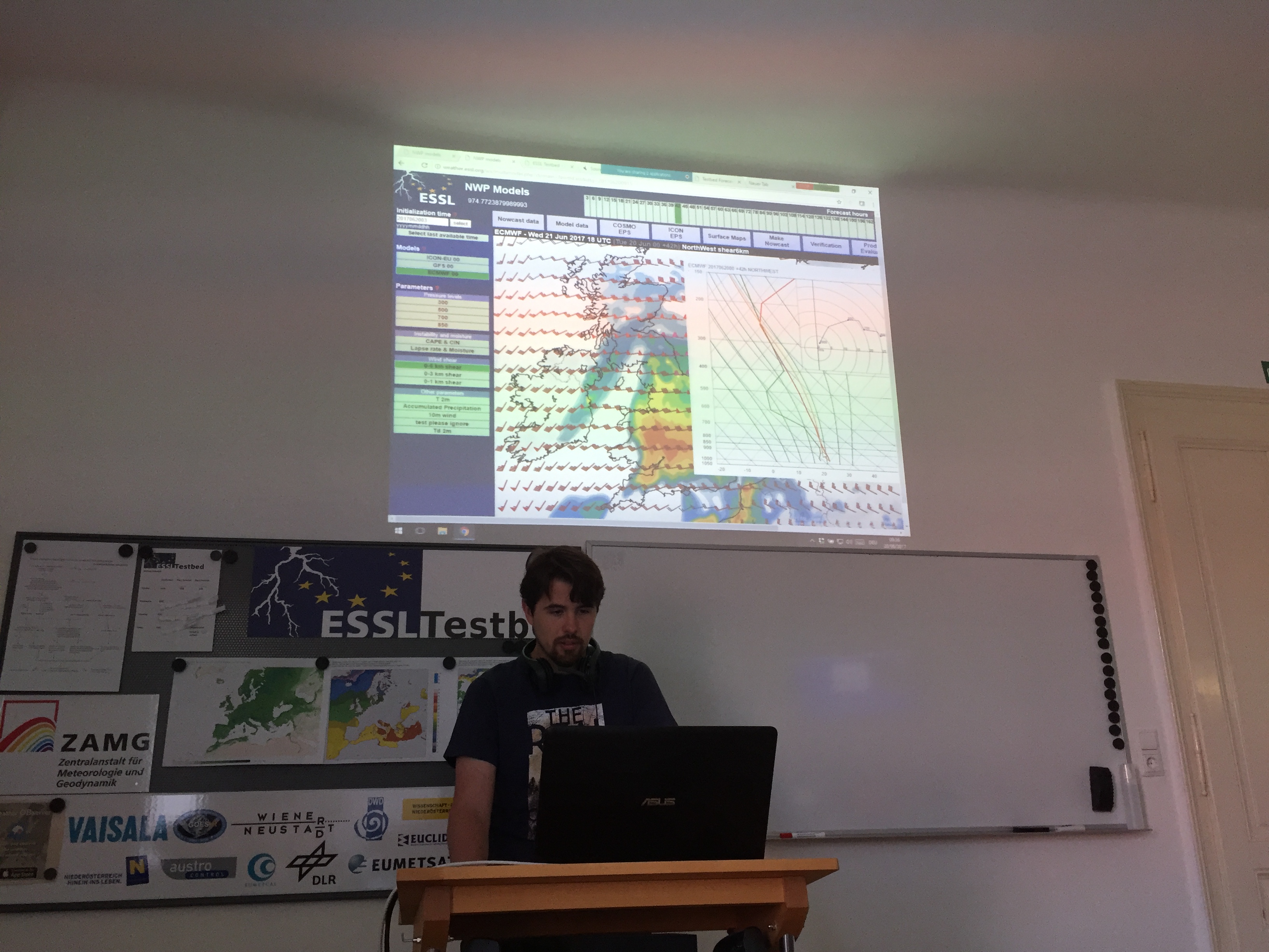
Still in other models there is some potential for severe convective storms over GB tomorrow, but initiation is uncertain until early evening. In some regions nicely curved hodographs are present:
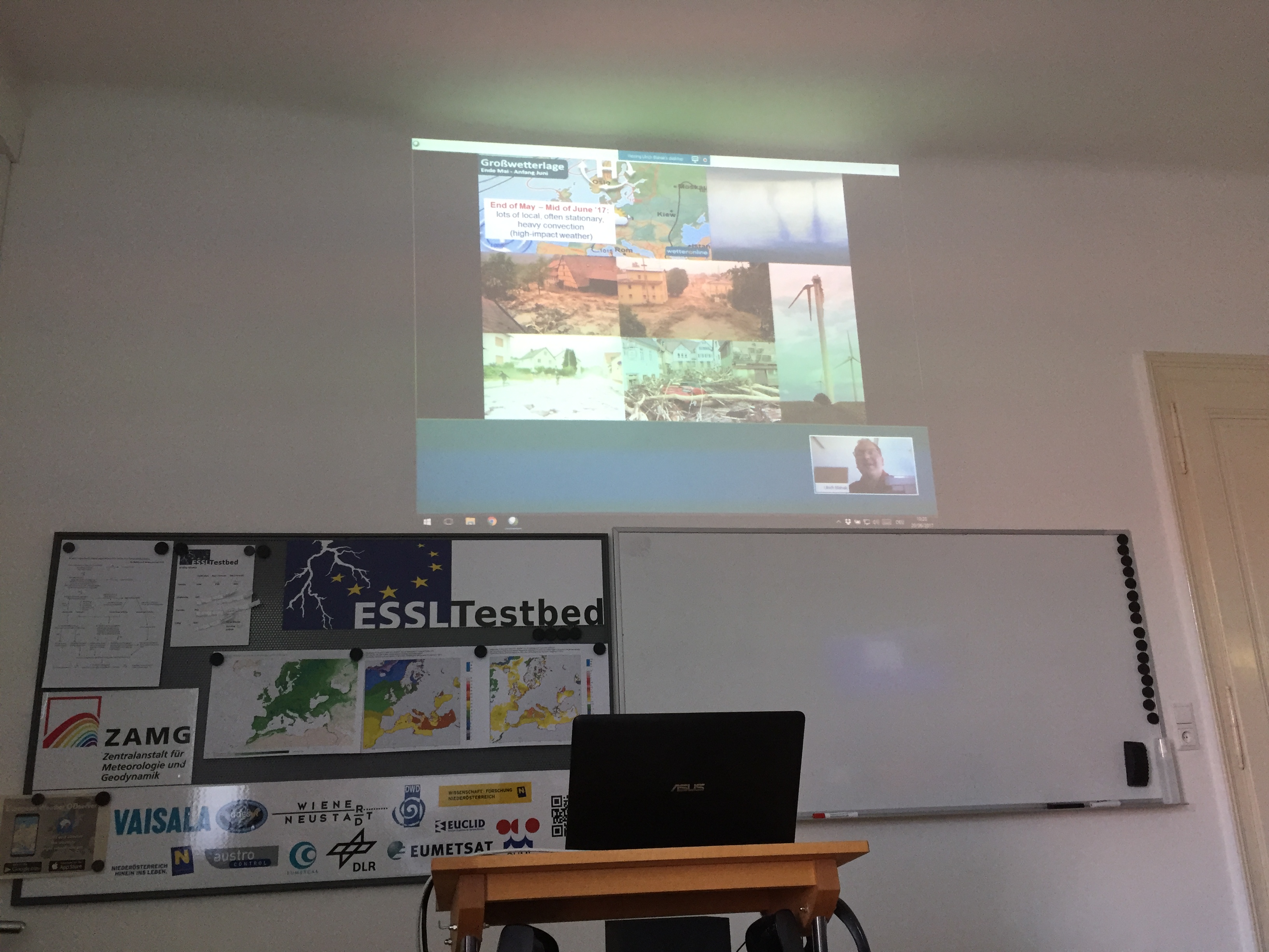
A multinational team of developers and forecasters (France, Spain, Germany, Greece, Slovakia, Czechia, Netherlands, USA, Croatia and Austria) started activities for another testbed week. During the week different interesting weather situations are expected in different areas of Europe.

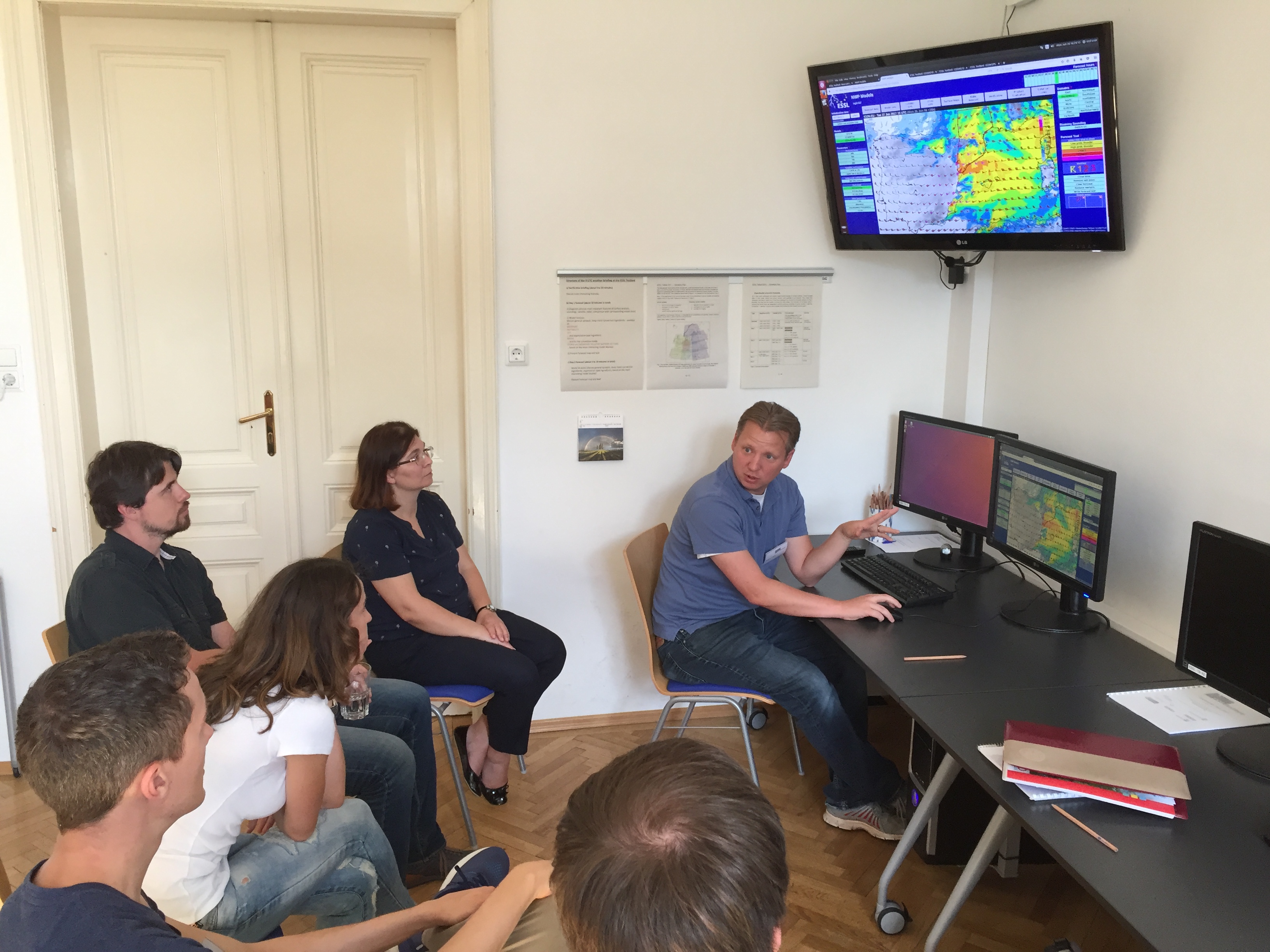
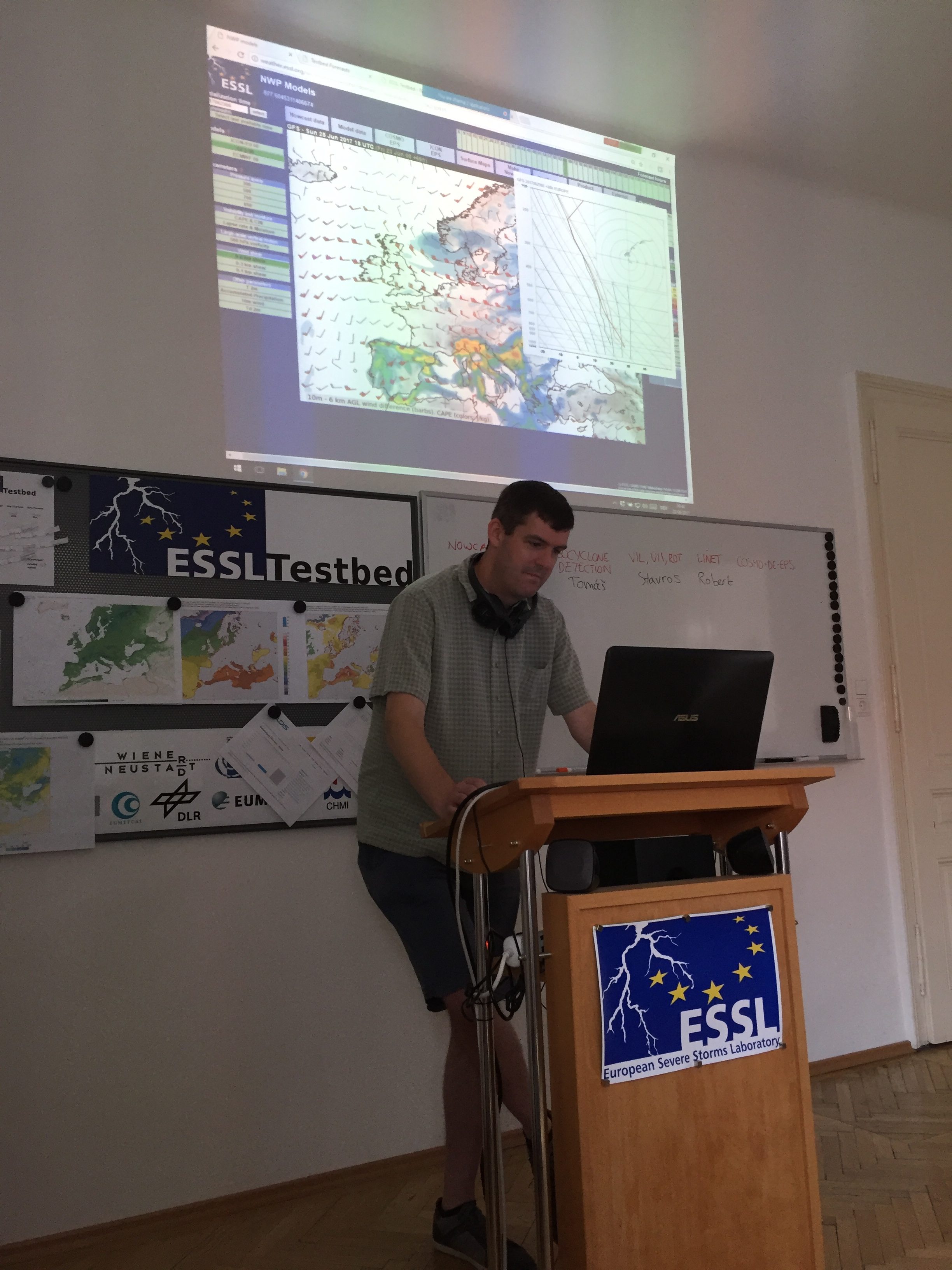
Image: Discussion during the morning in the day 1 forecast group.