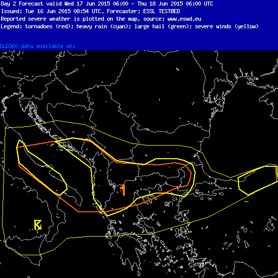
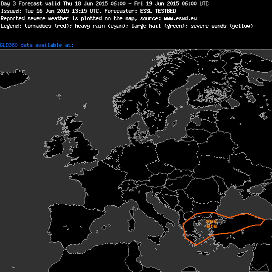
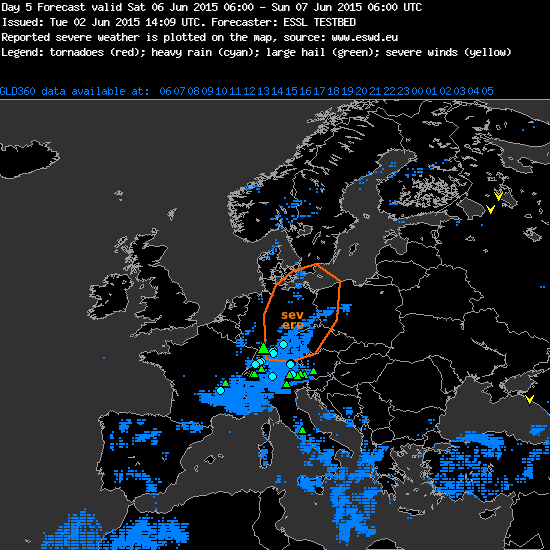
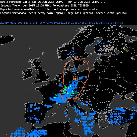
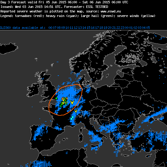
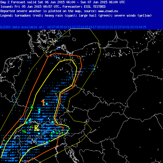
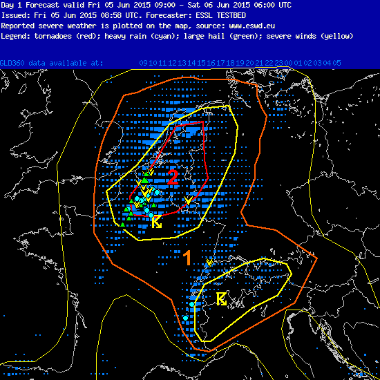
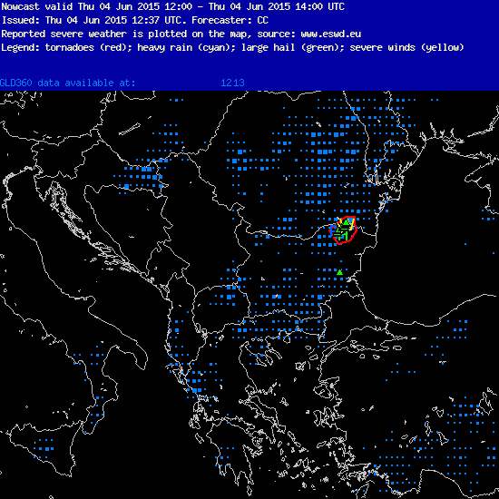
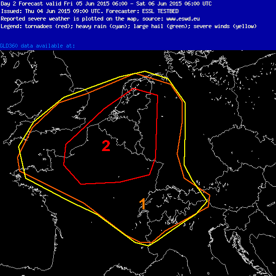
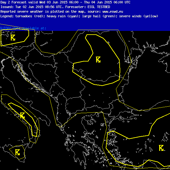
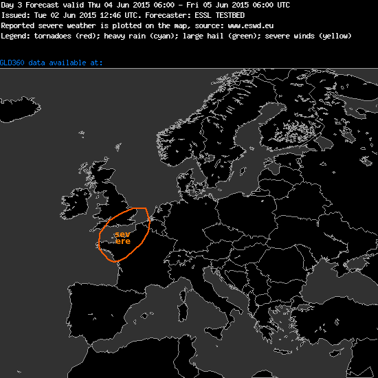
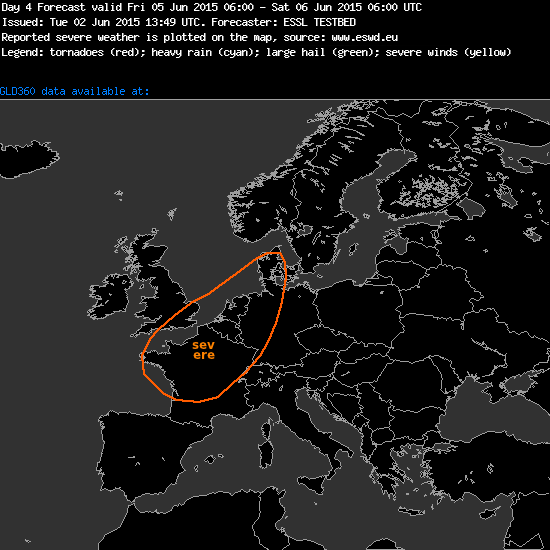
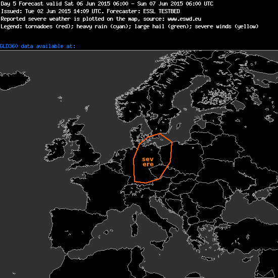
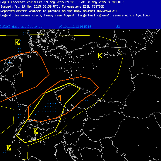
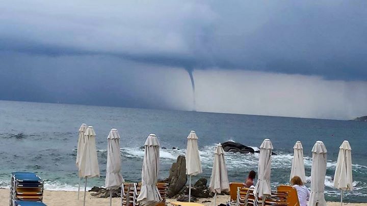
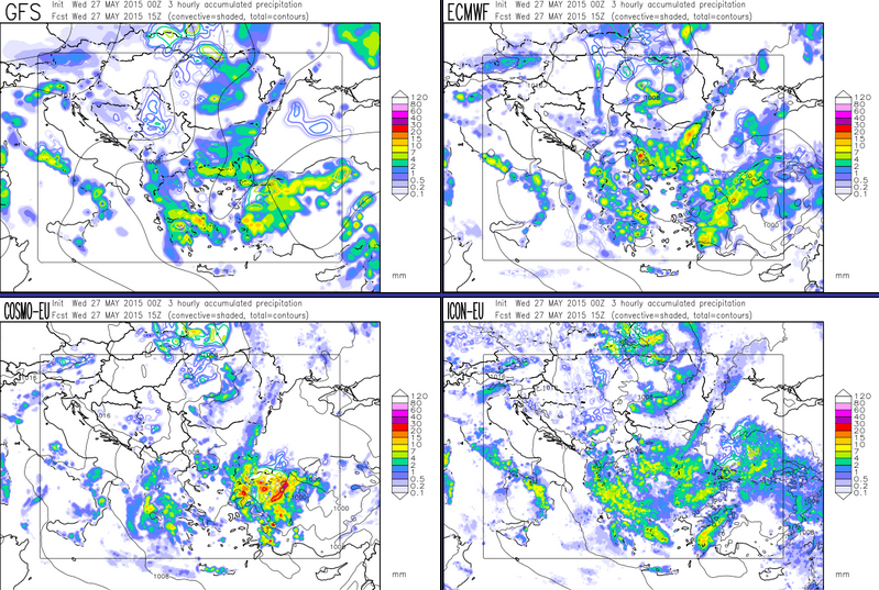
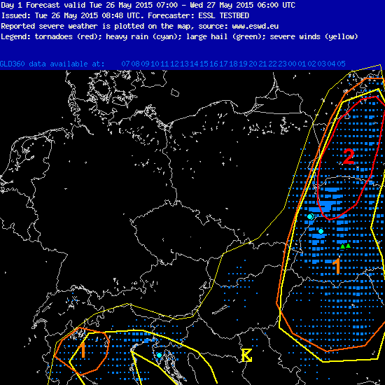
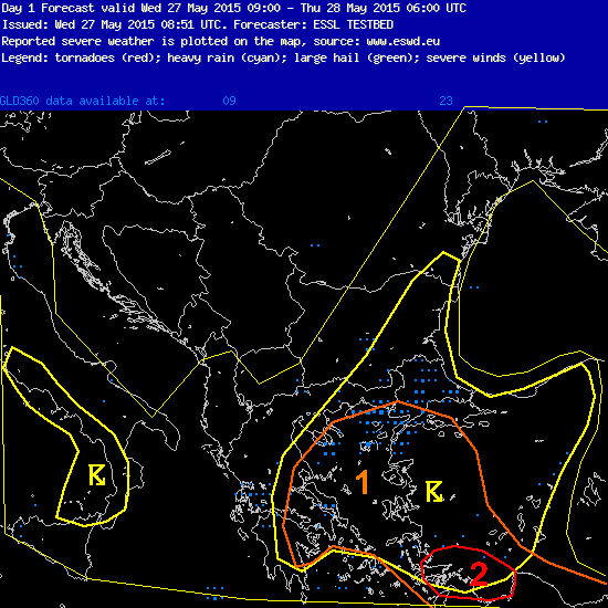
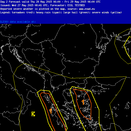
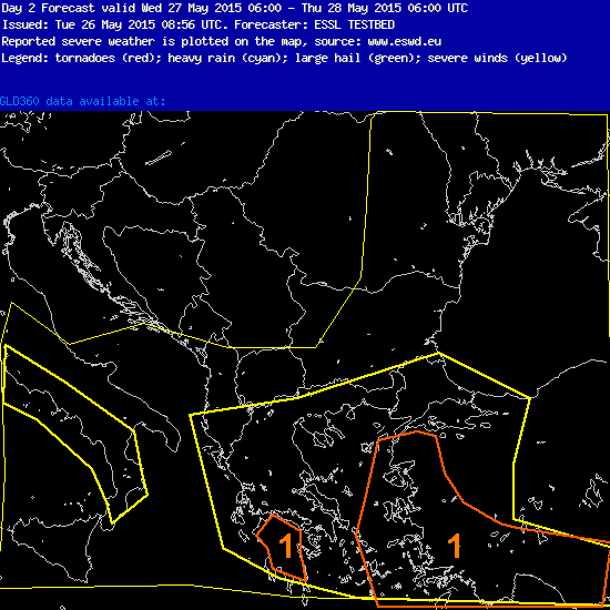
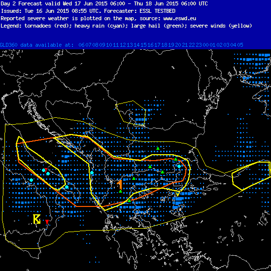
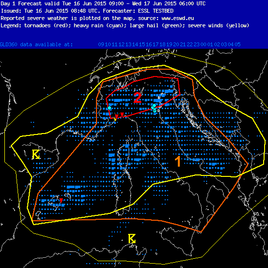
The forecasting week number 3 at the ESSL Testbed is over. Similiar to the 1st week, we did not experience much severe weather and our convective outlooks were mostly related to SE domain. Let’s look at these predictions and their verification:
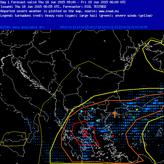
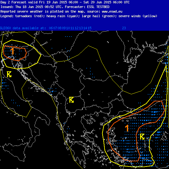
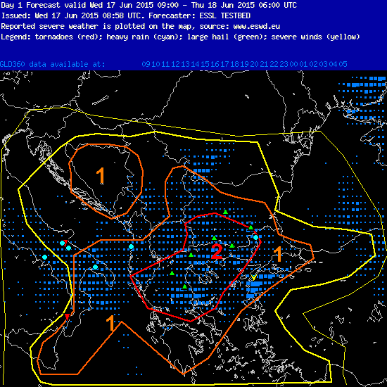
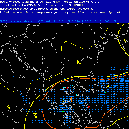
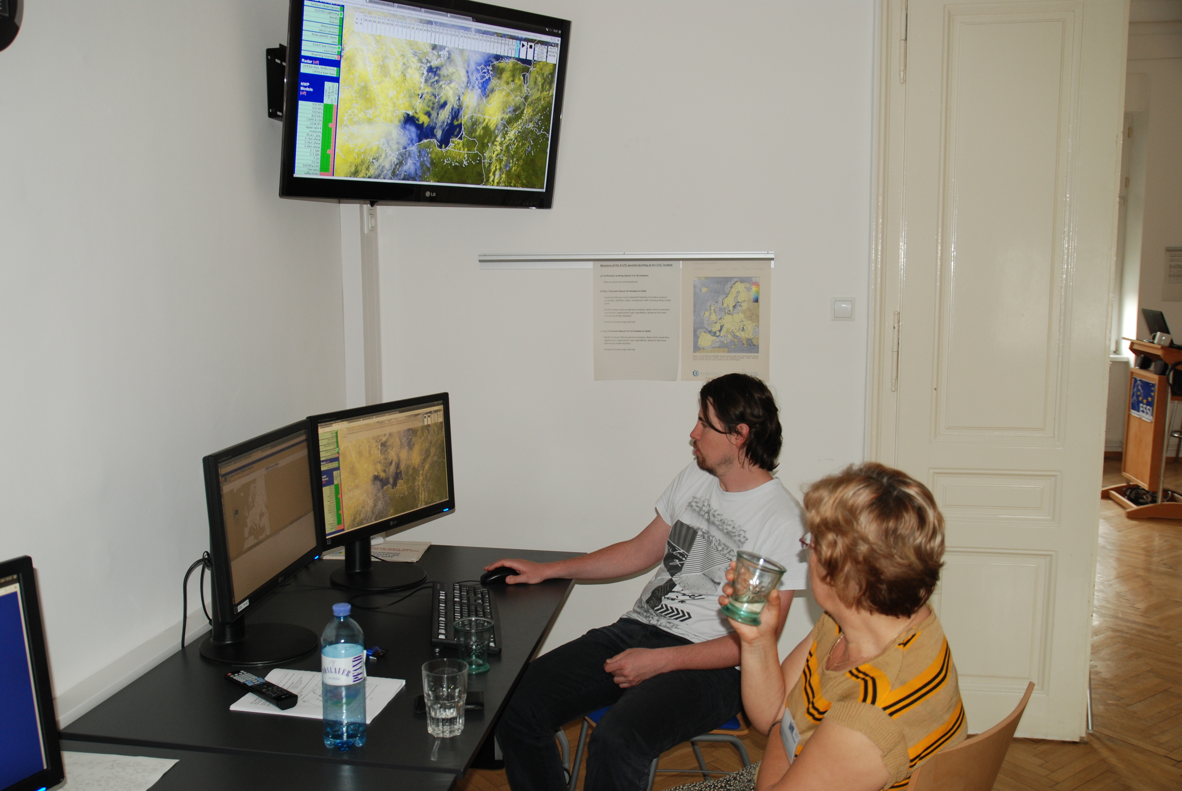
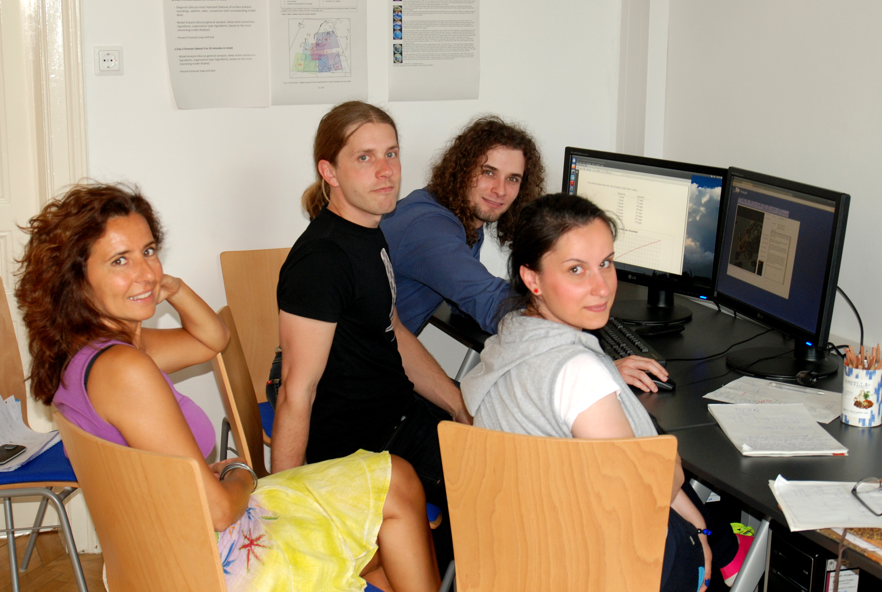
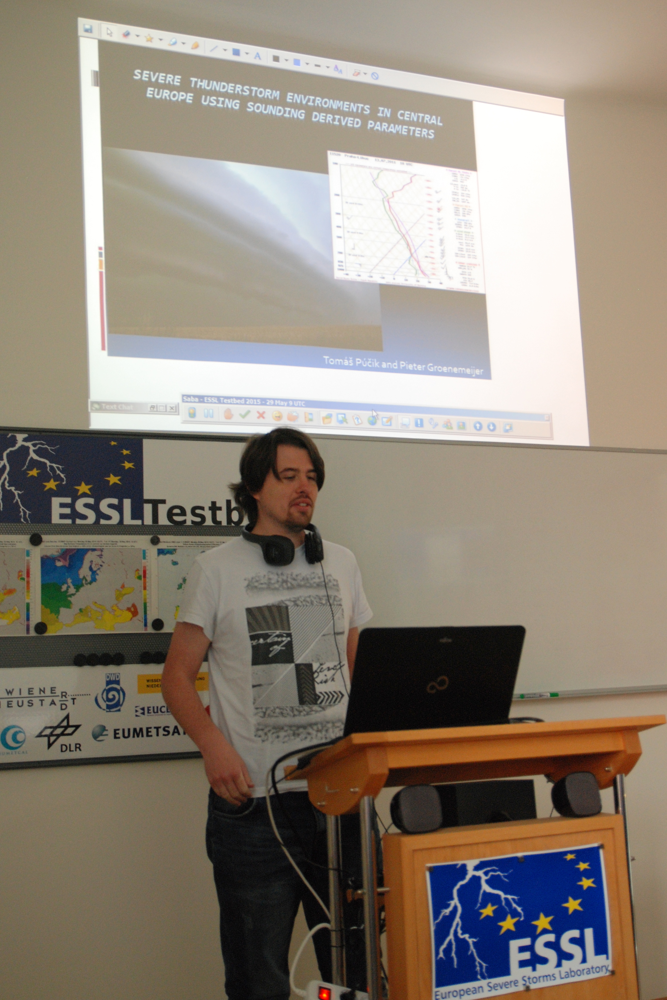
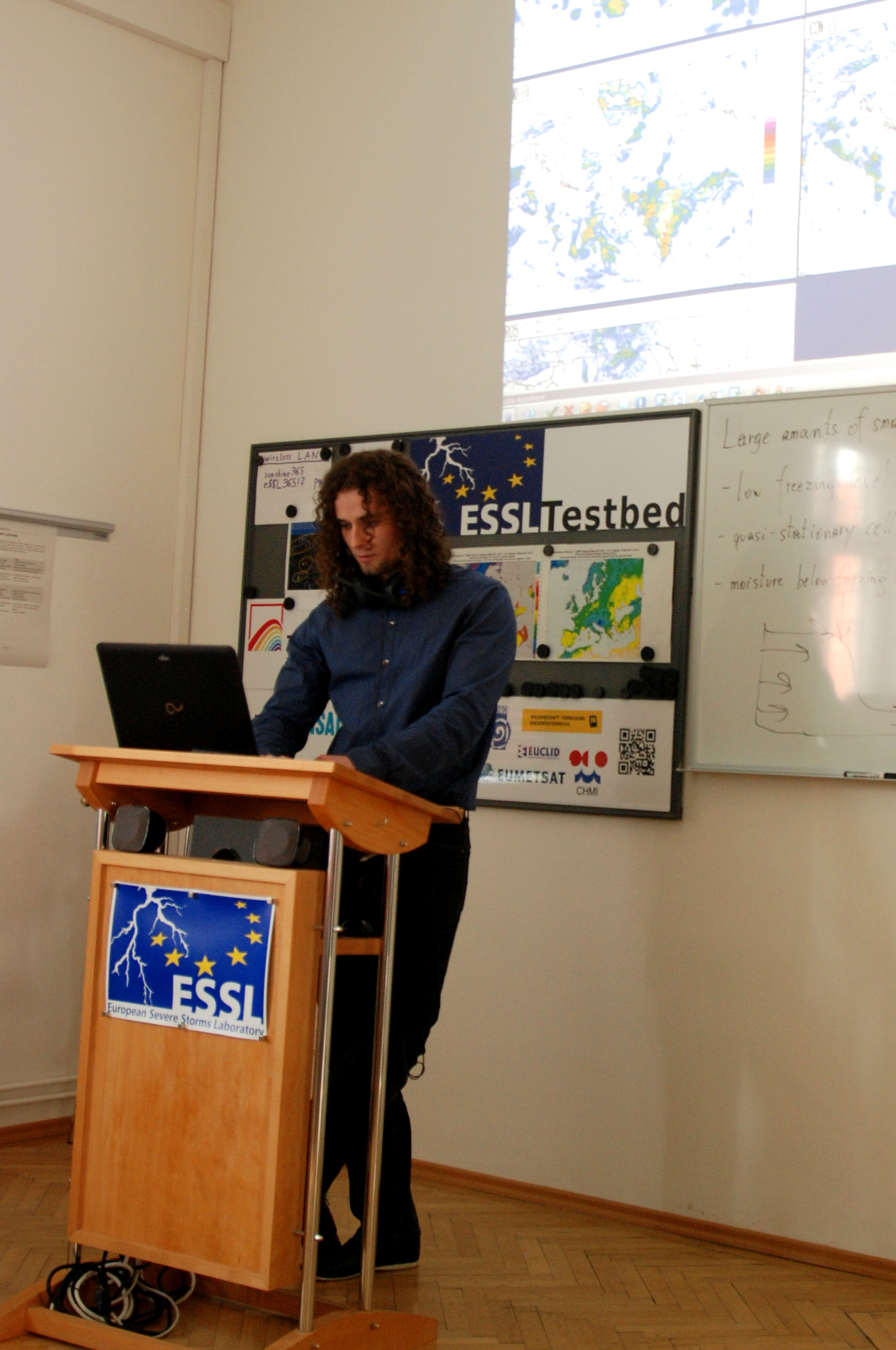
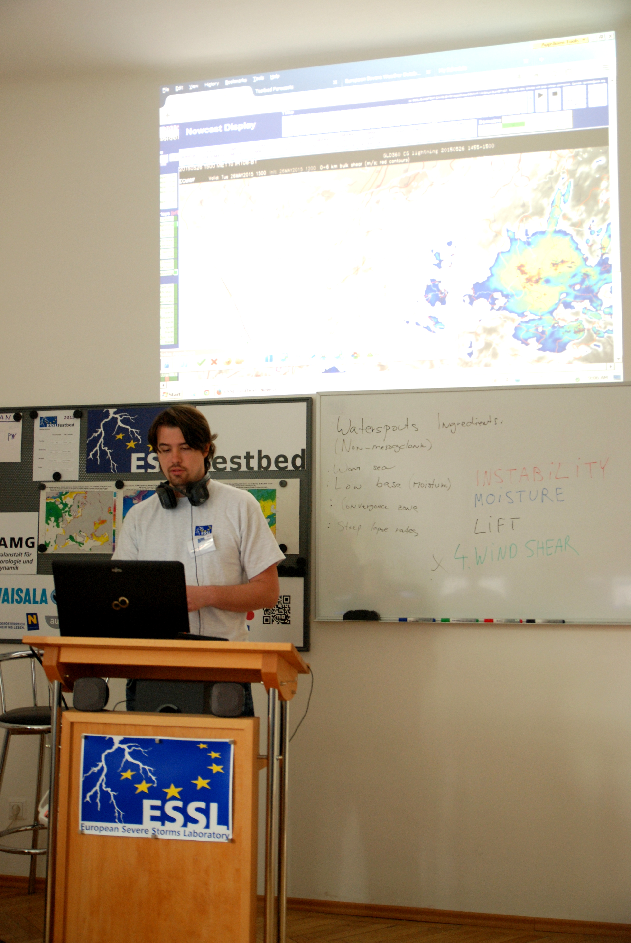
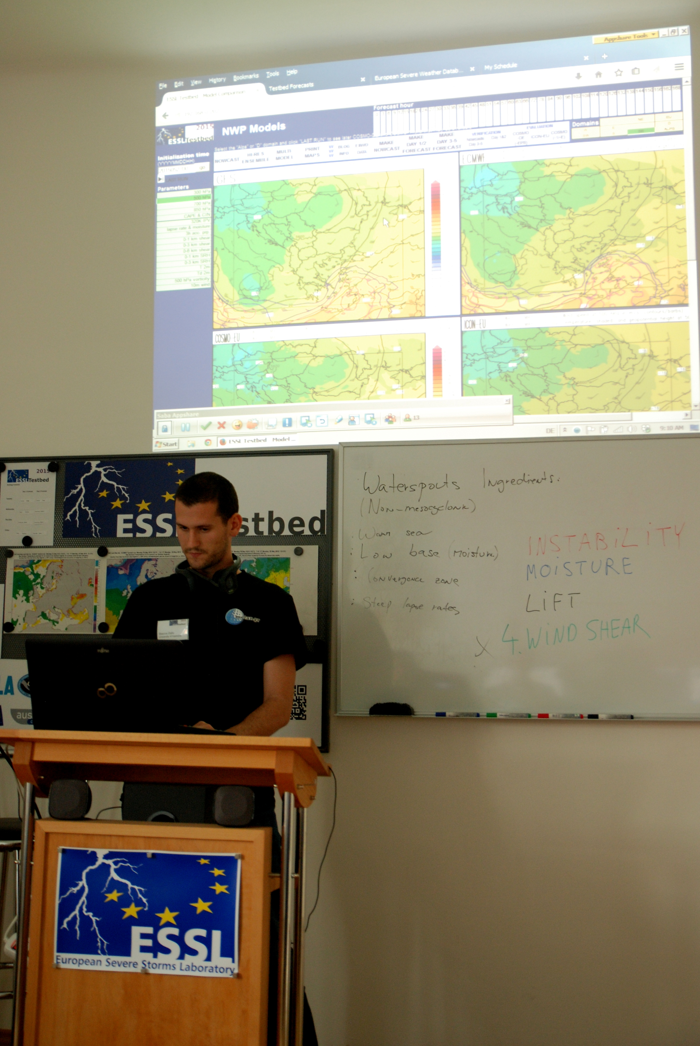
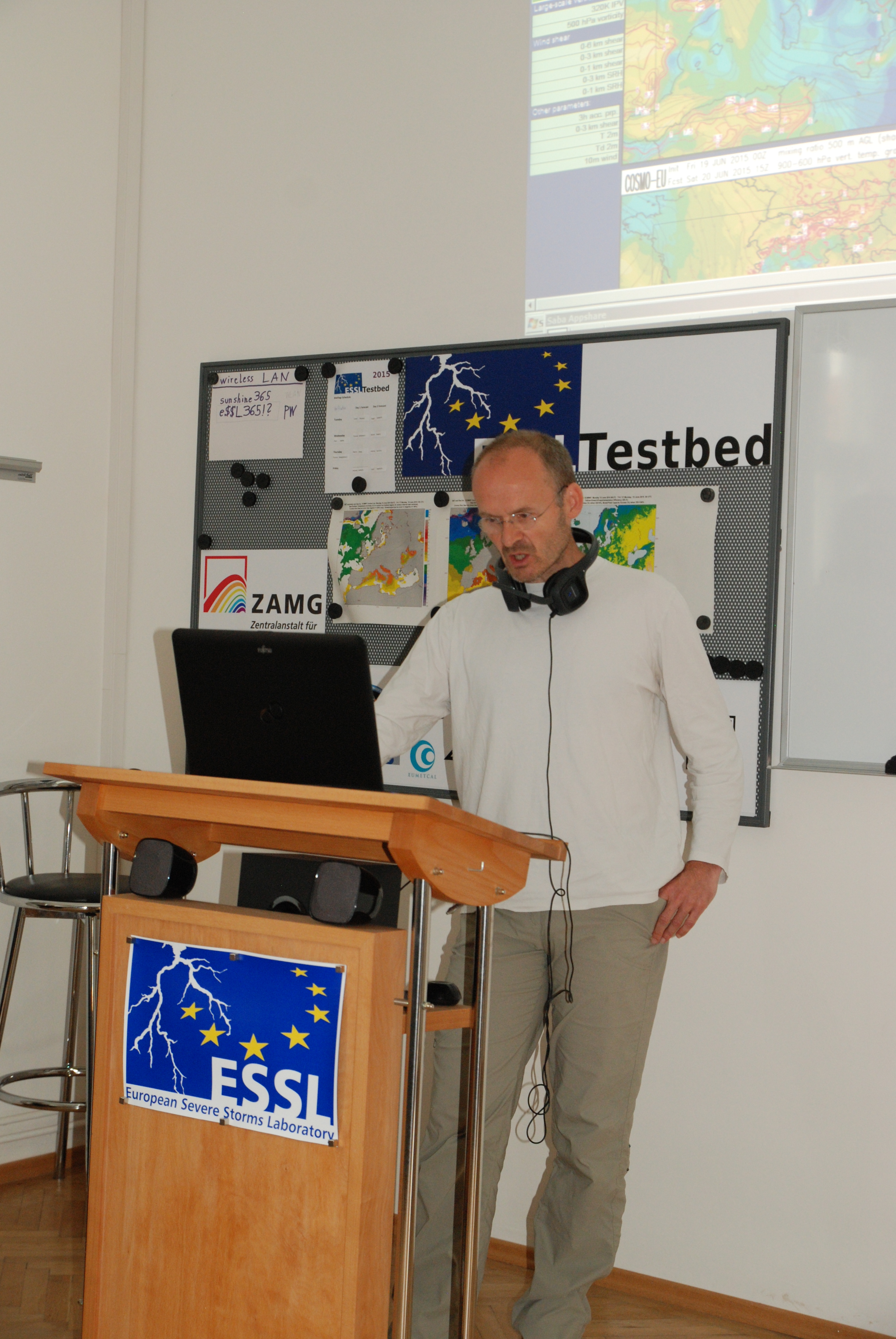
Our participants made a quite good job in predicting lightning activity areas and severe weather events. Thanks are also due to Thilo Kuhne who did a great job in searching reports of severe weather in the media. Below, we present various pictures of participants during their work, weather briefings and expert lecture presentations:
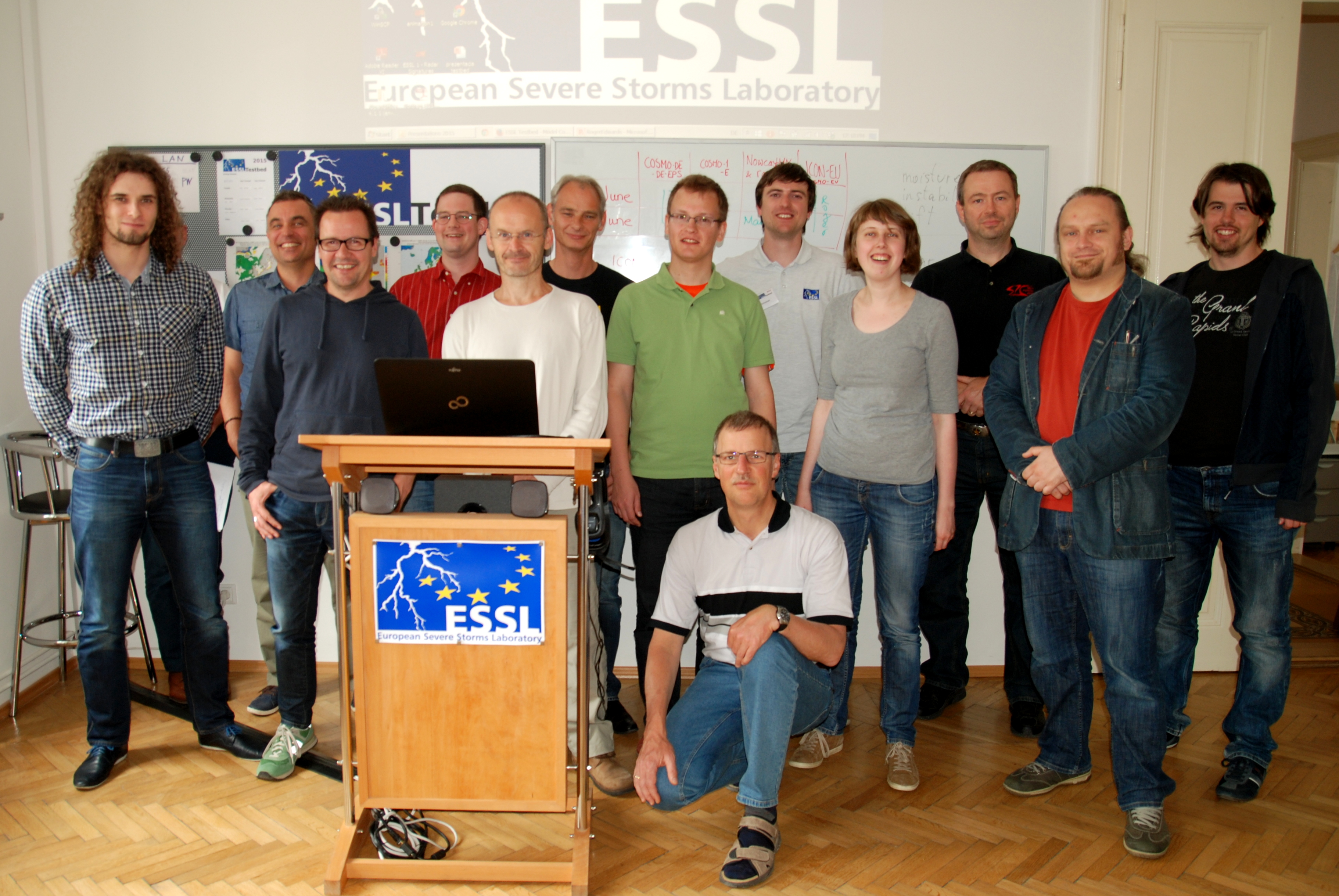
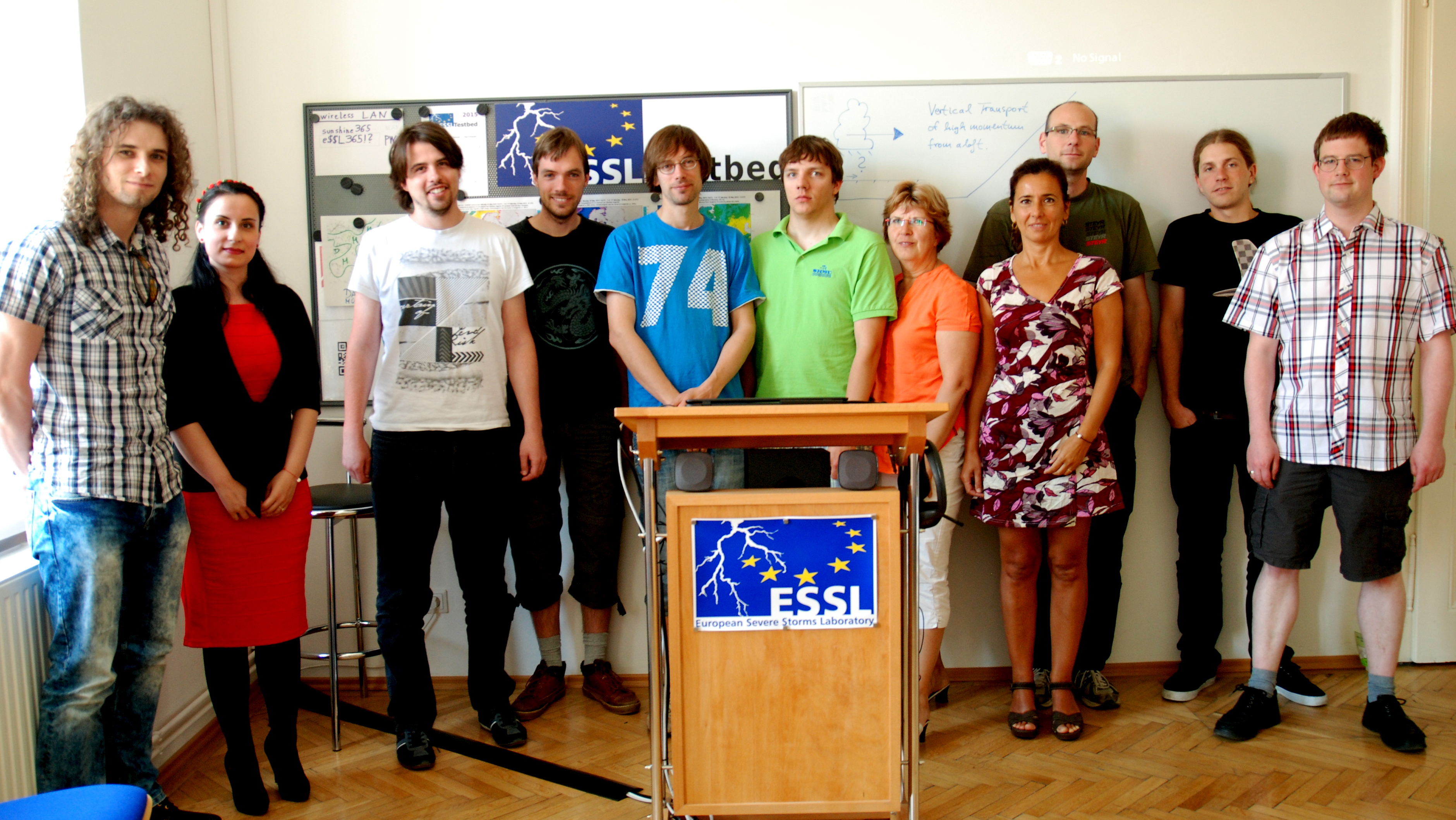
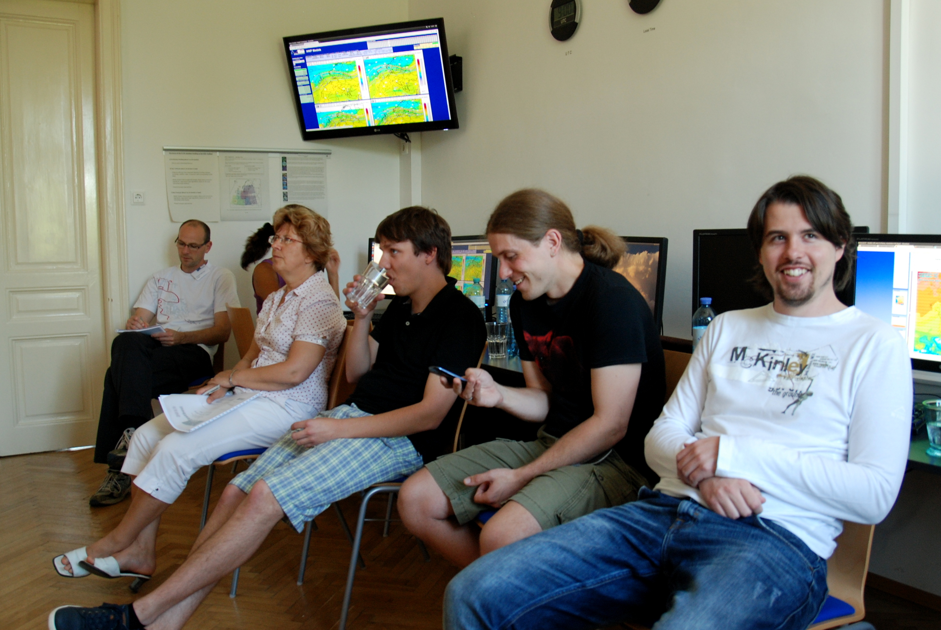
ESSL Testbed2015 week3 team.
Josef Haslhofer during weather briefing.
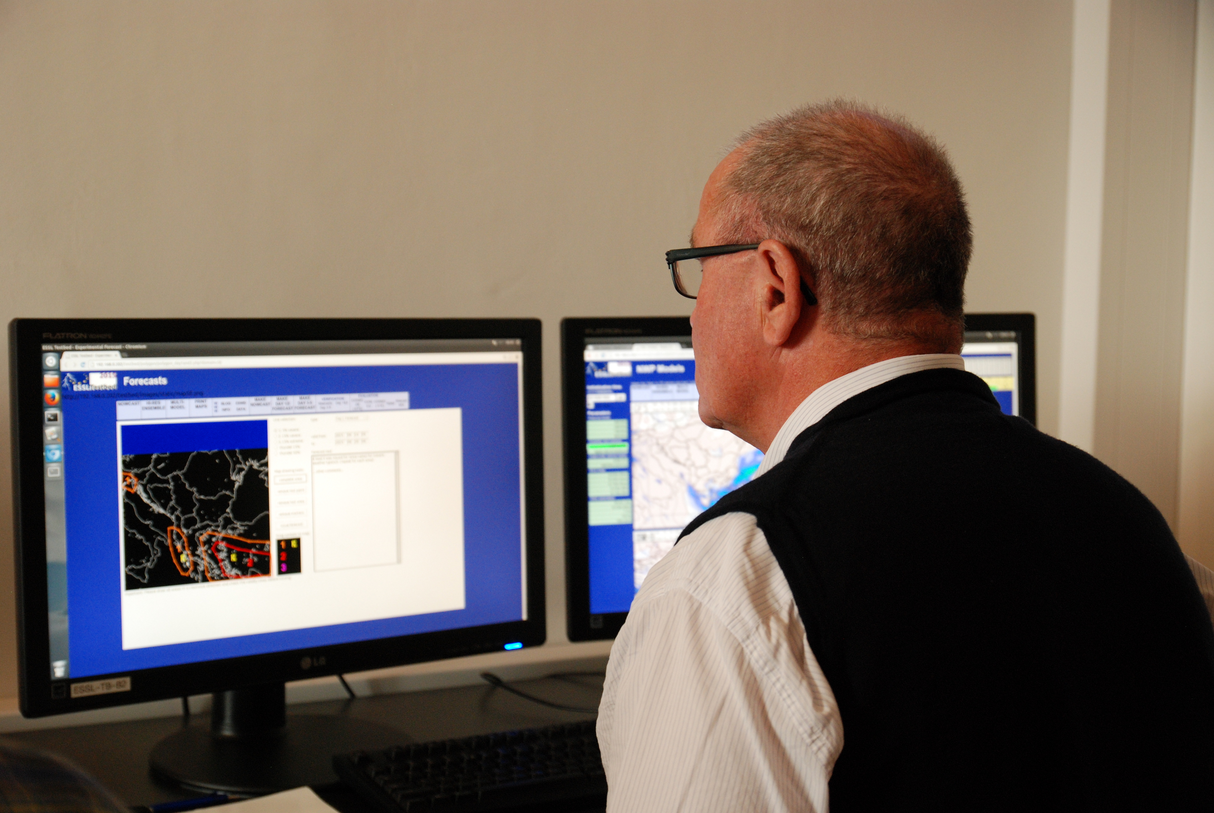
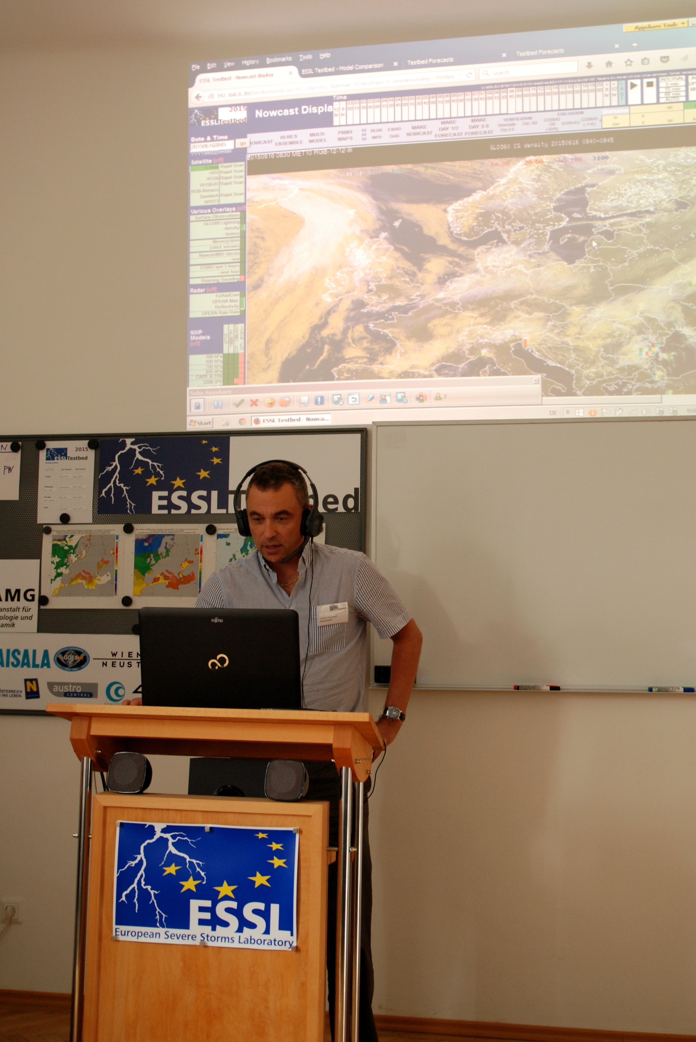
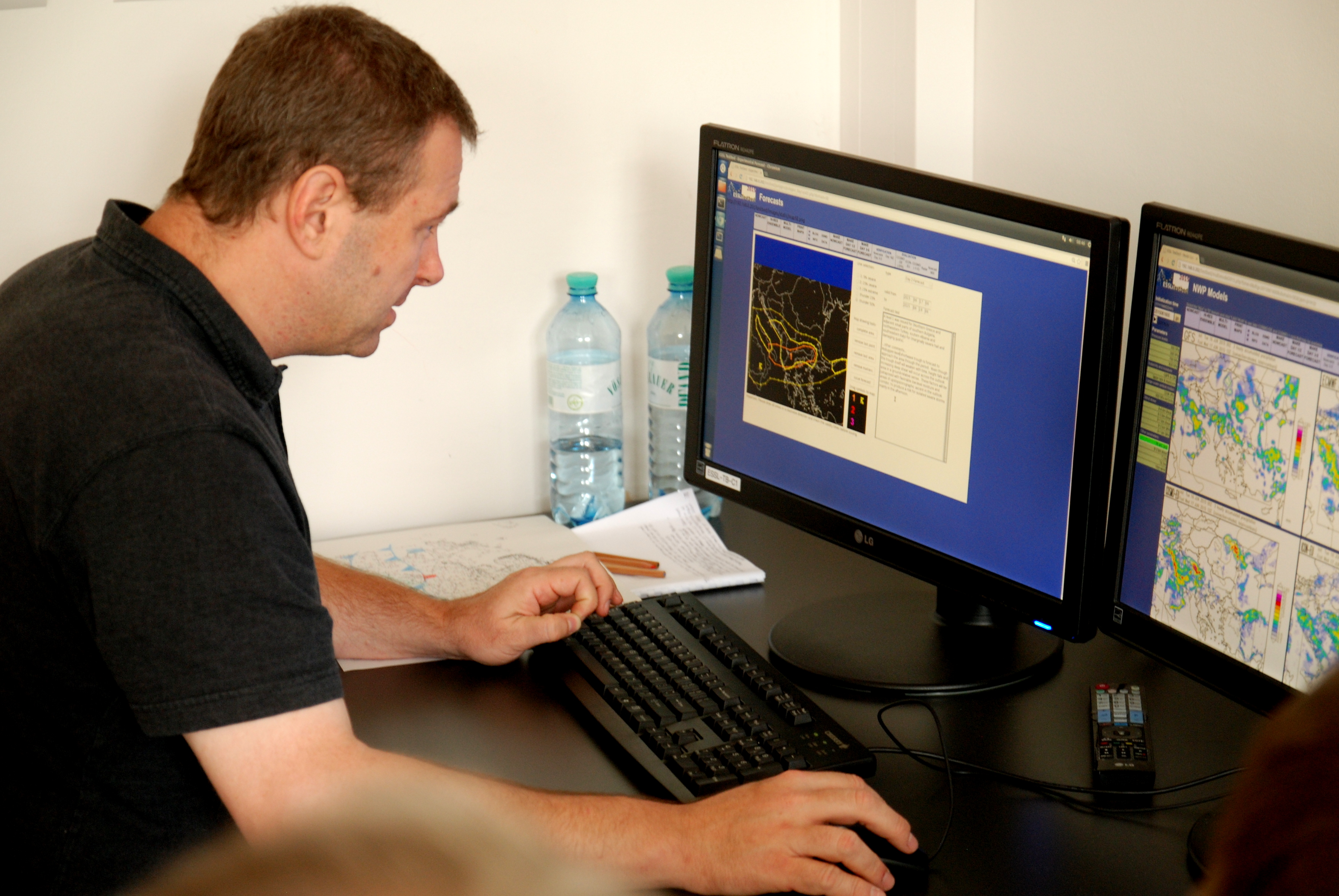
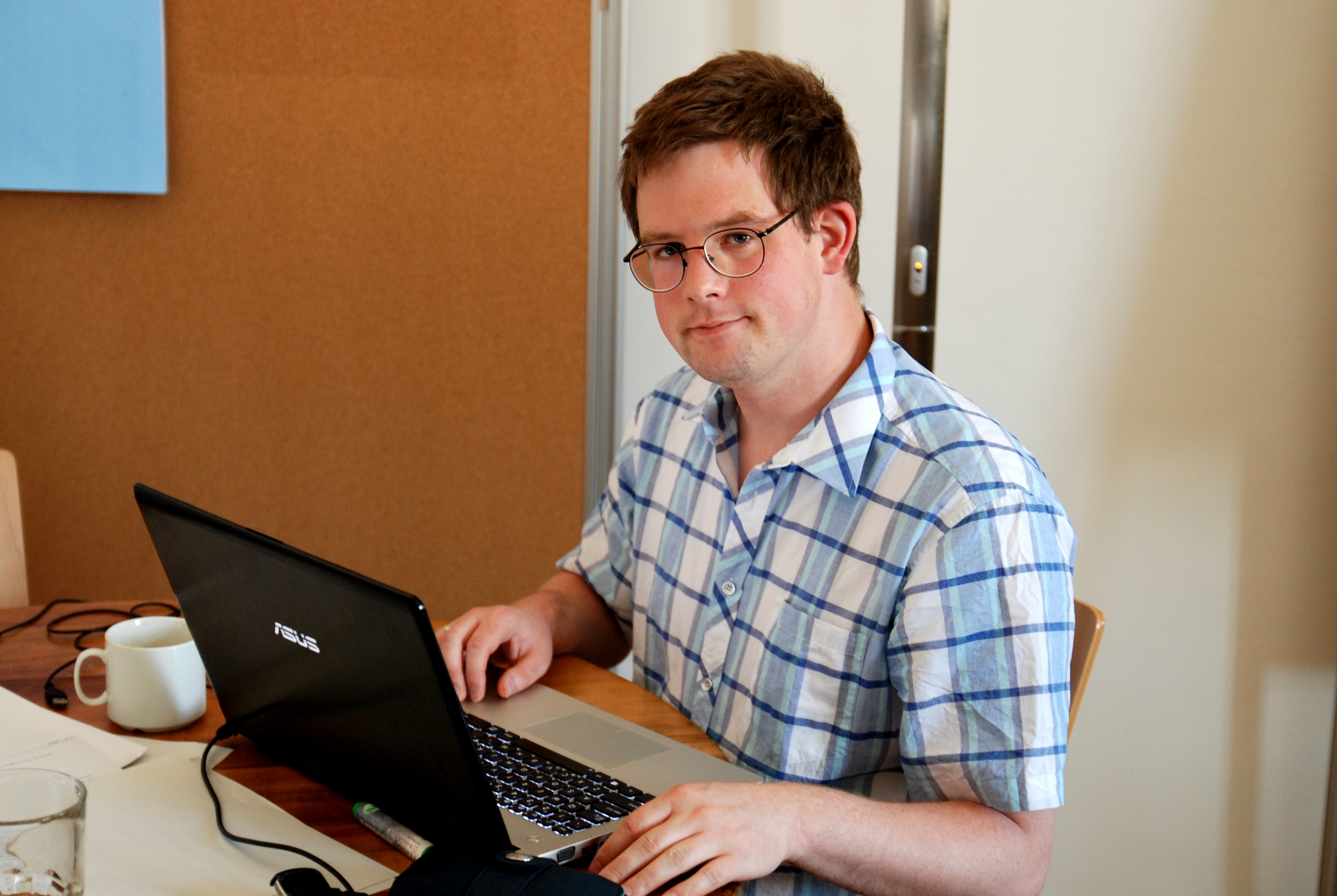
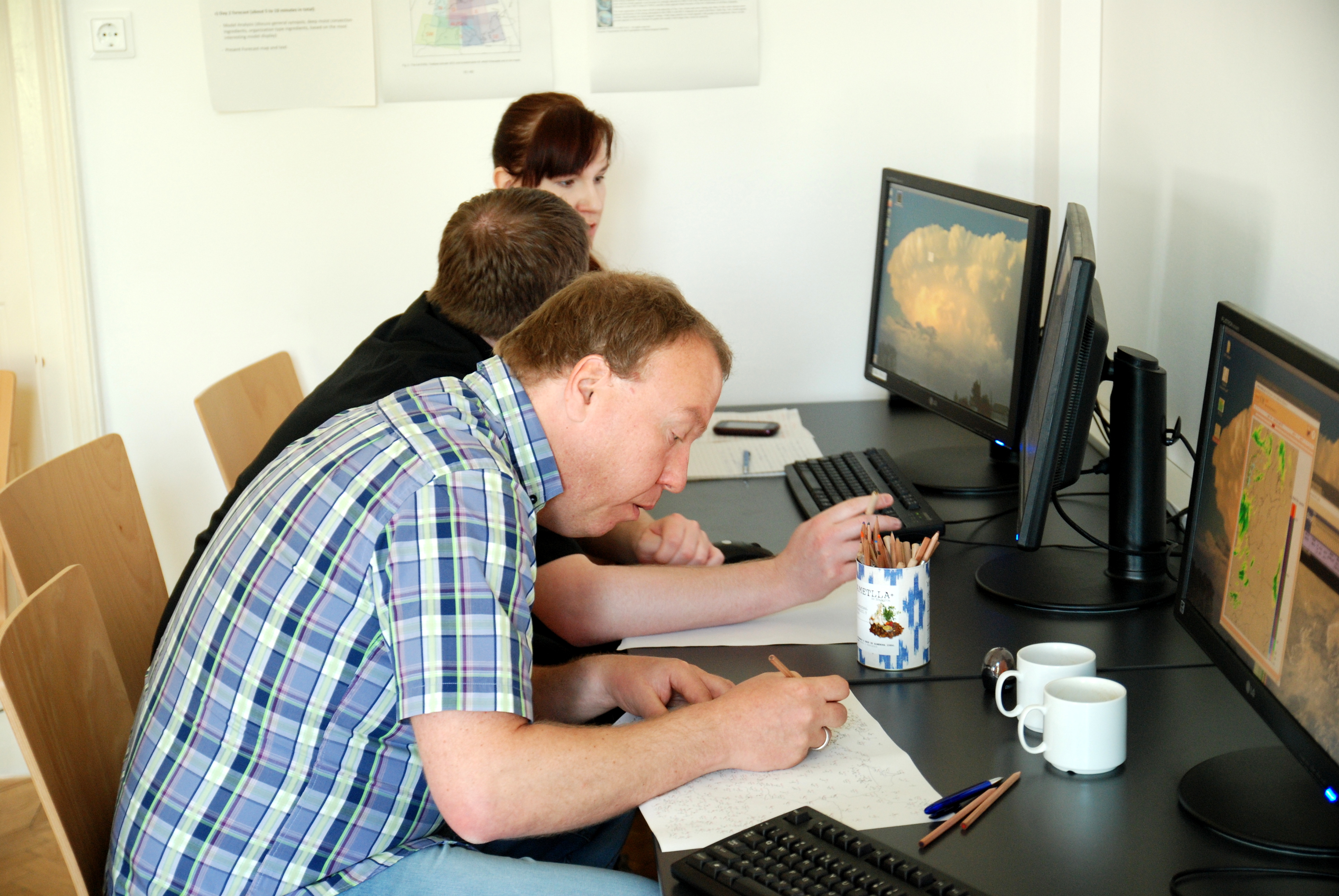
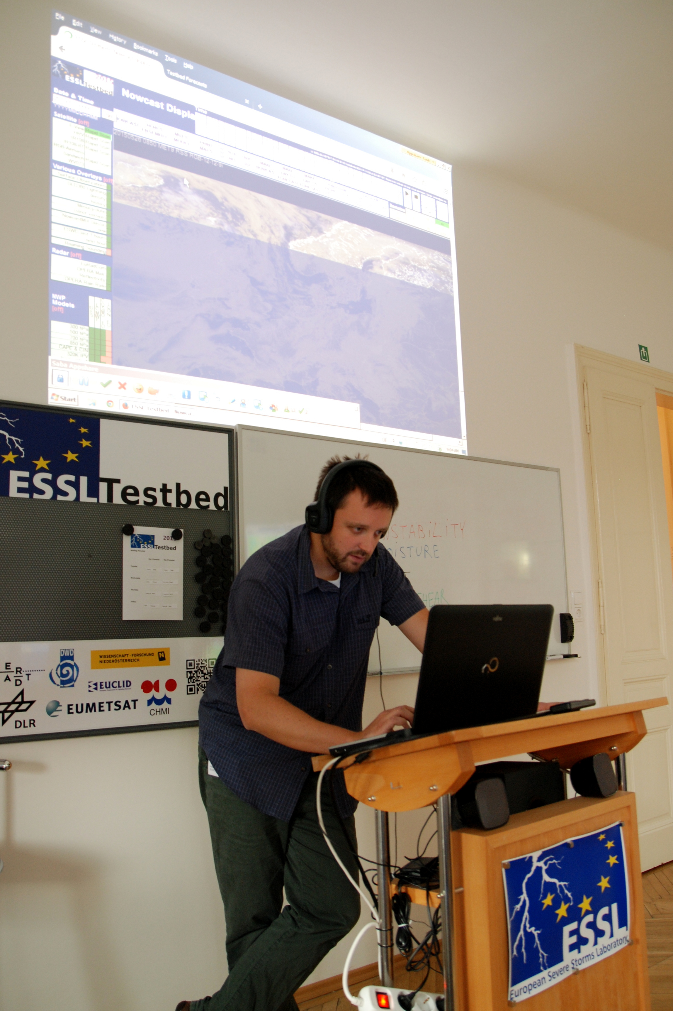
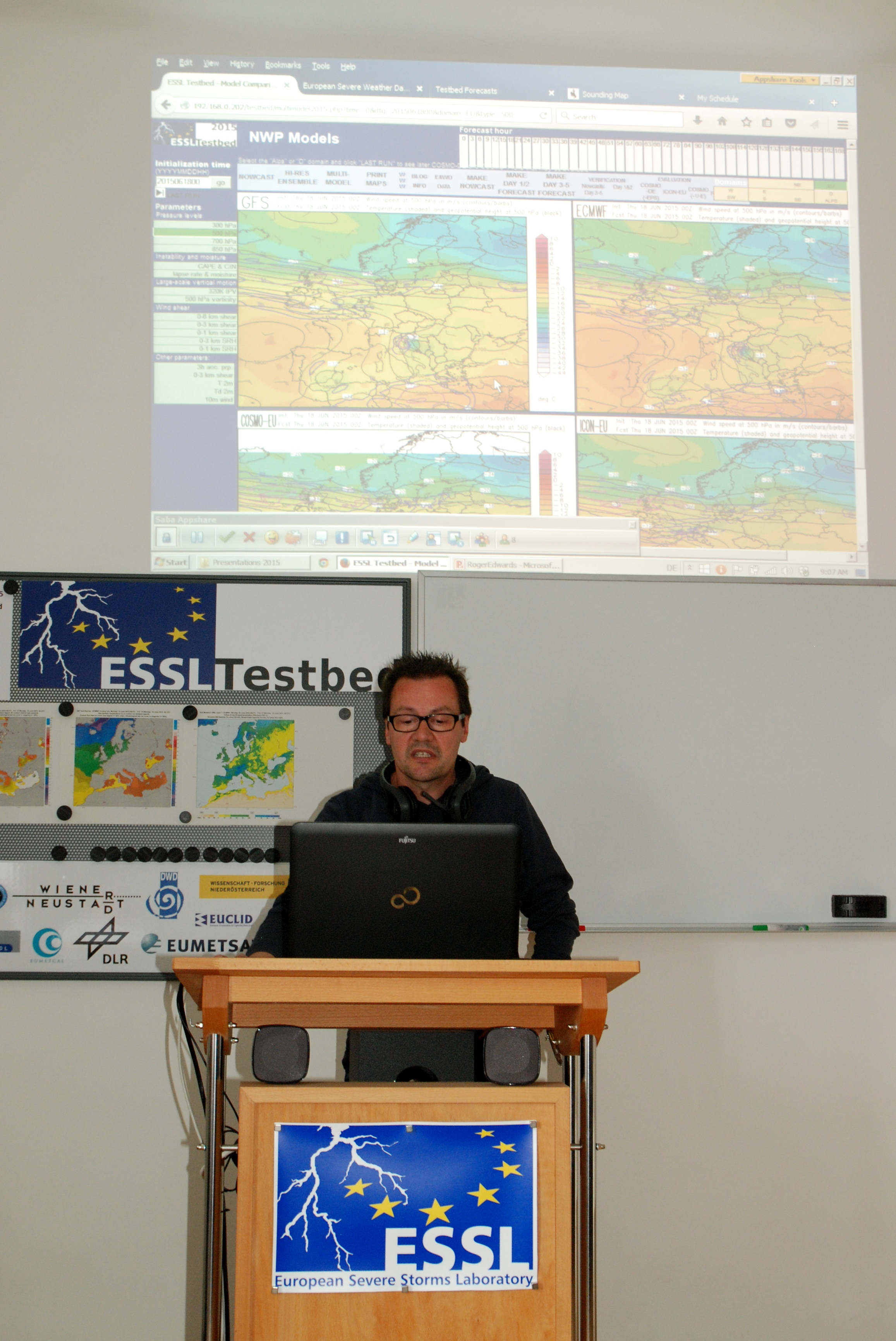
Jacques Ambuhl preparing the forecast.
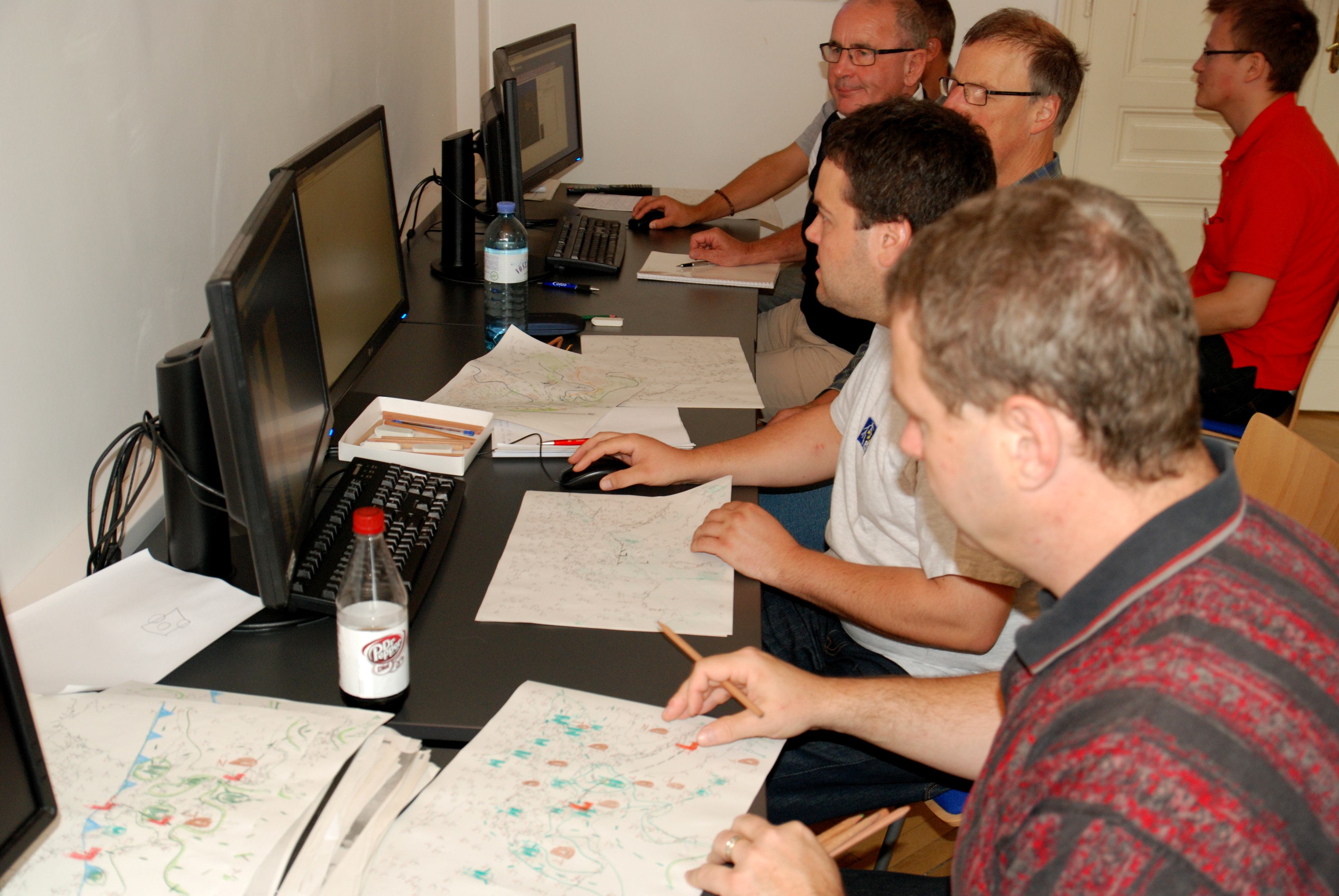
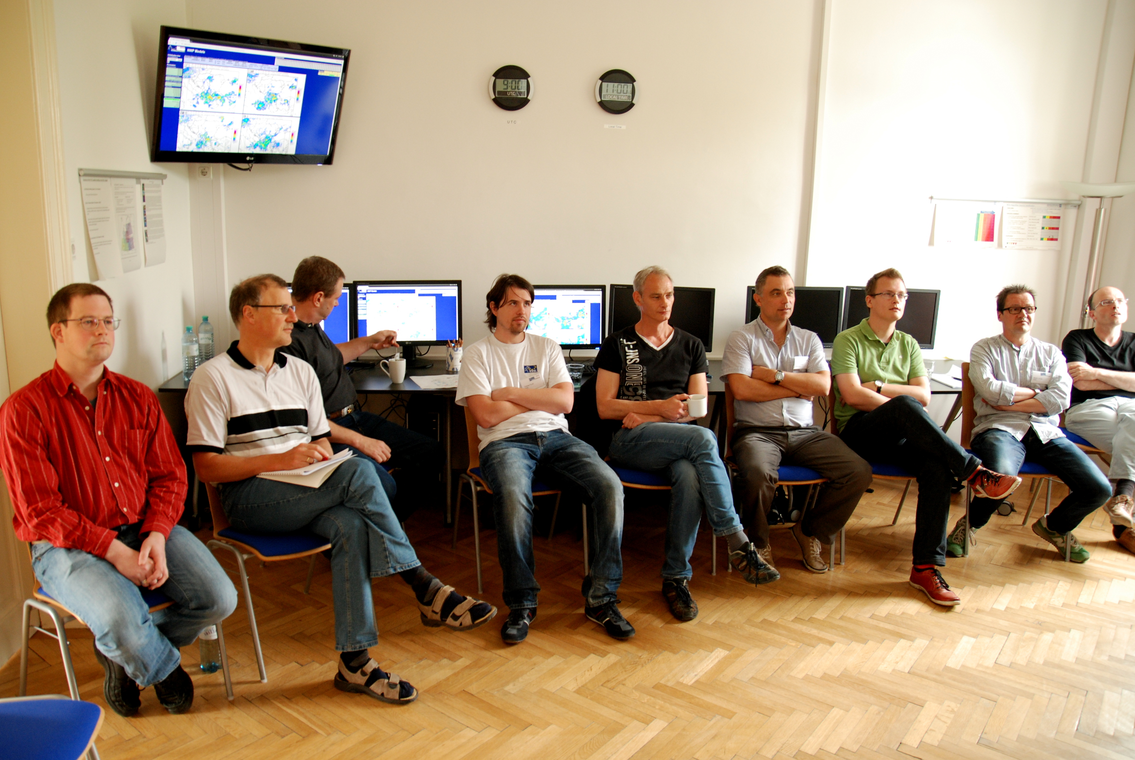
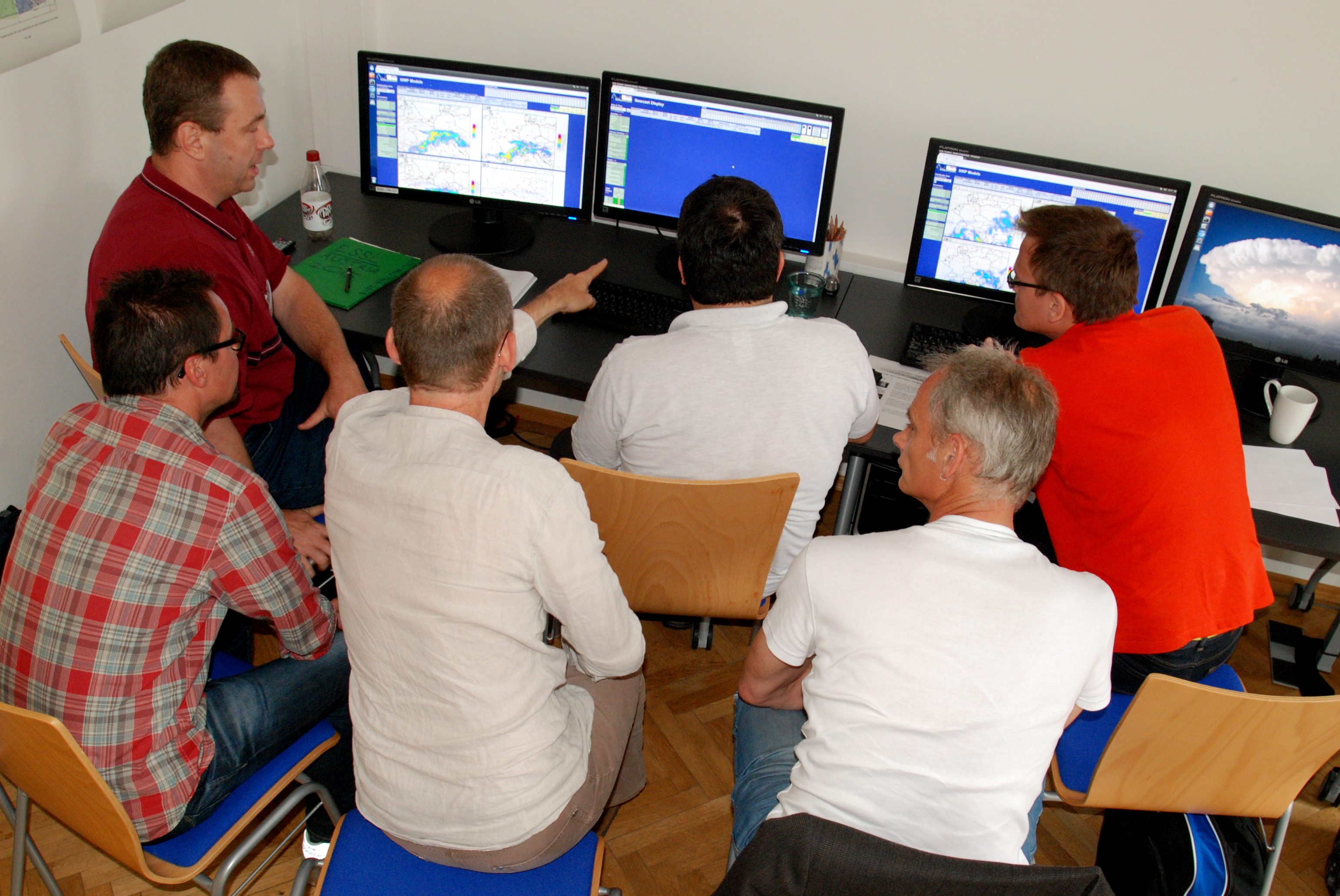
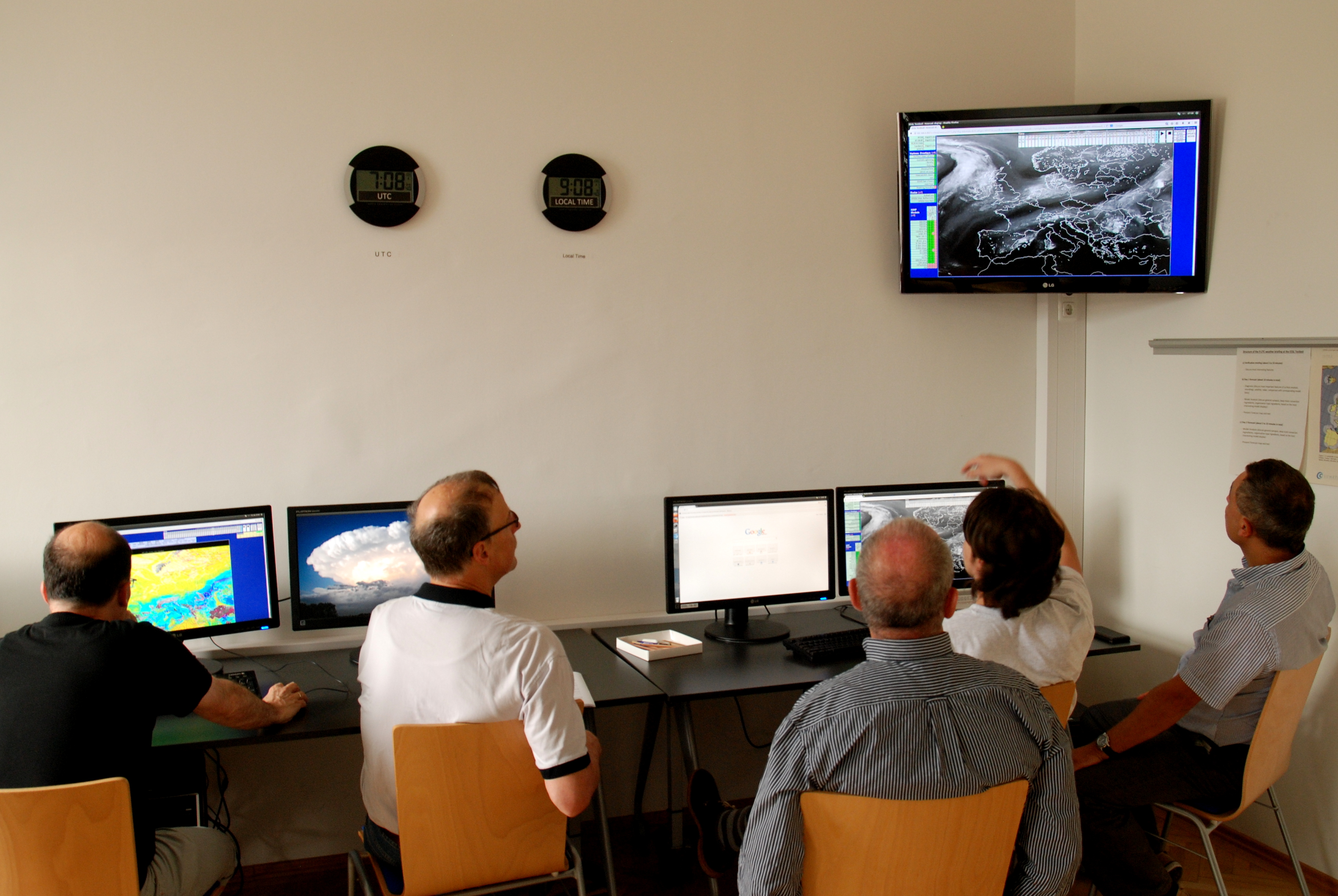
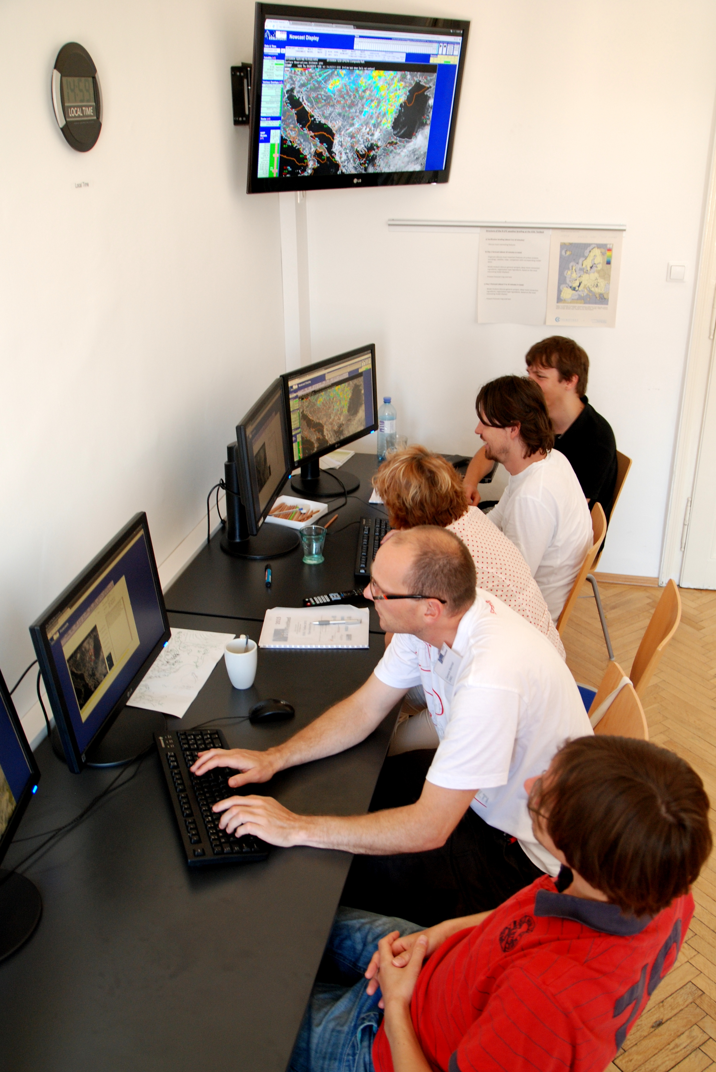
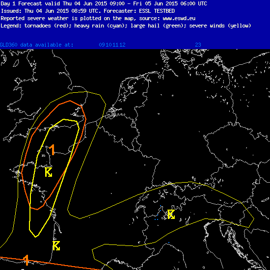
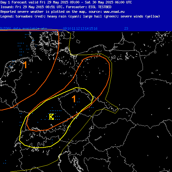
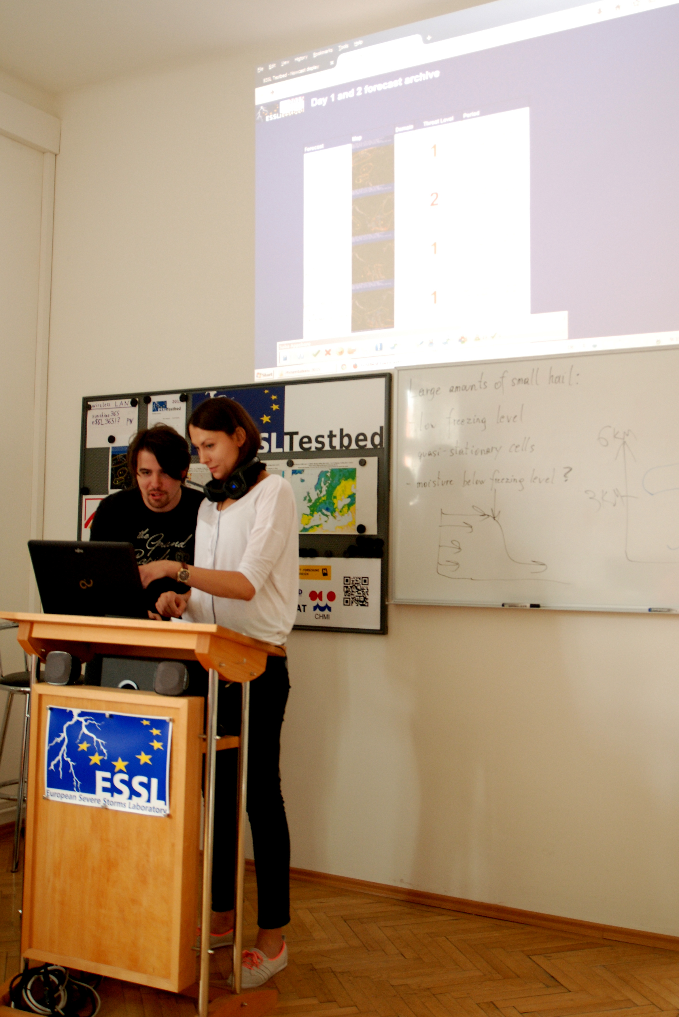
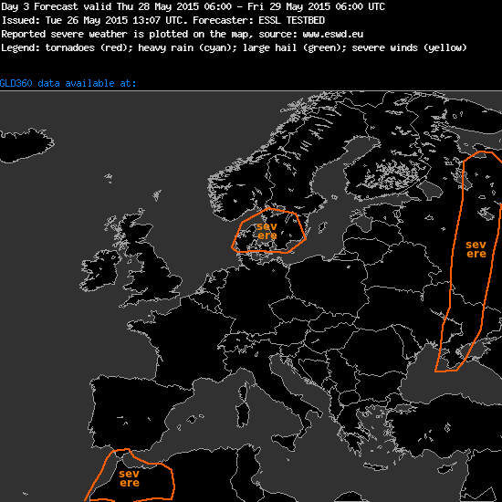
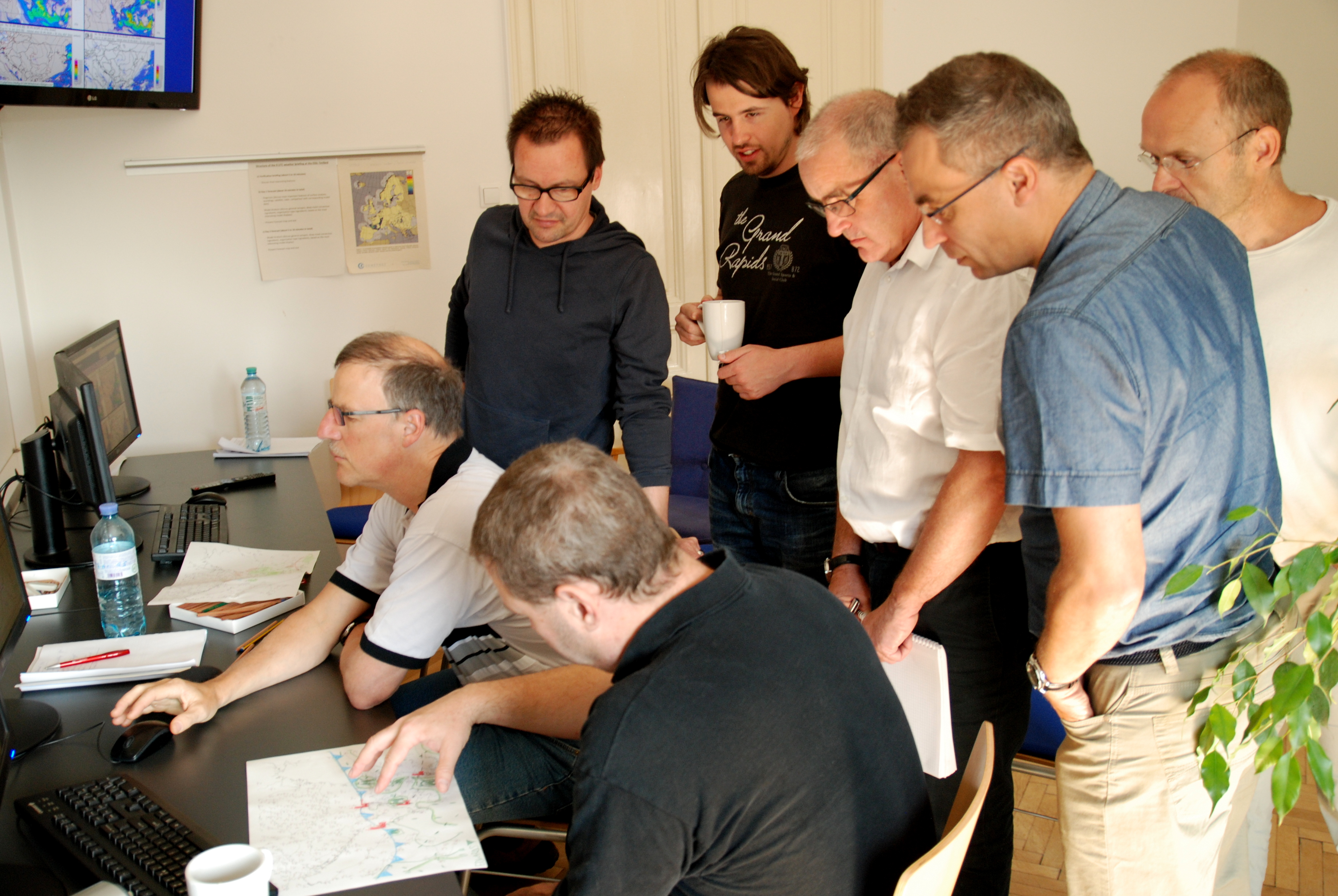
Day1 forecasting activities.
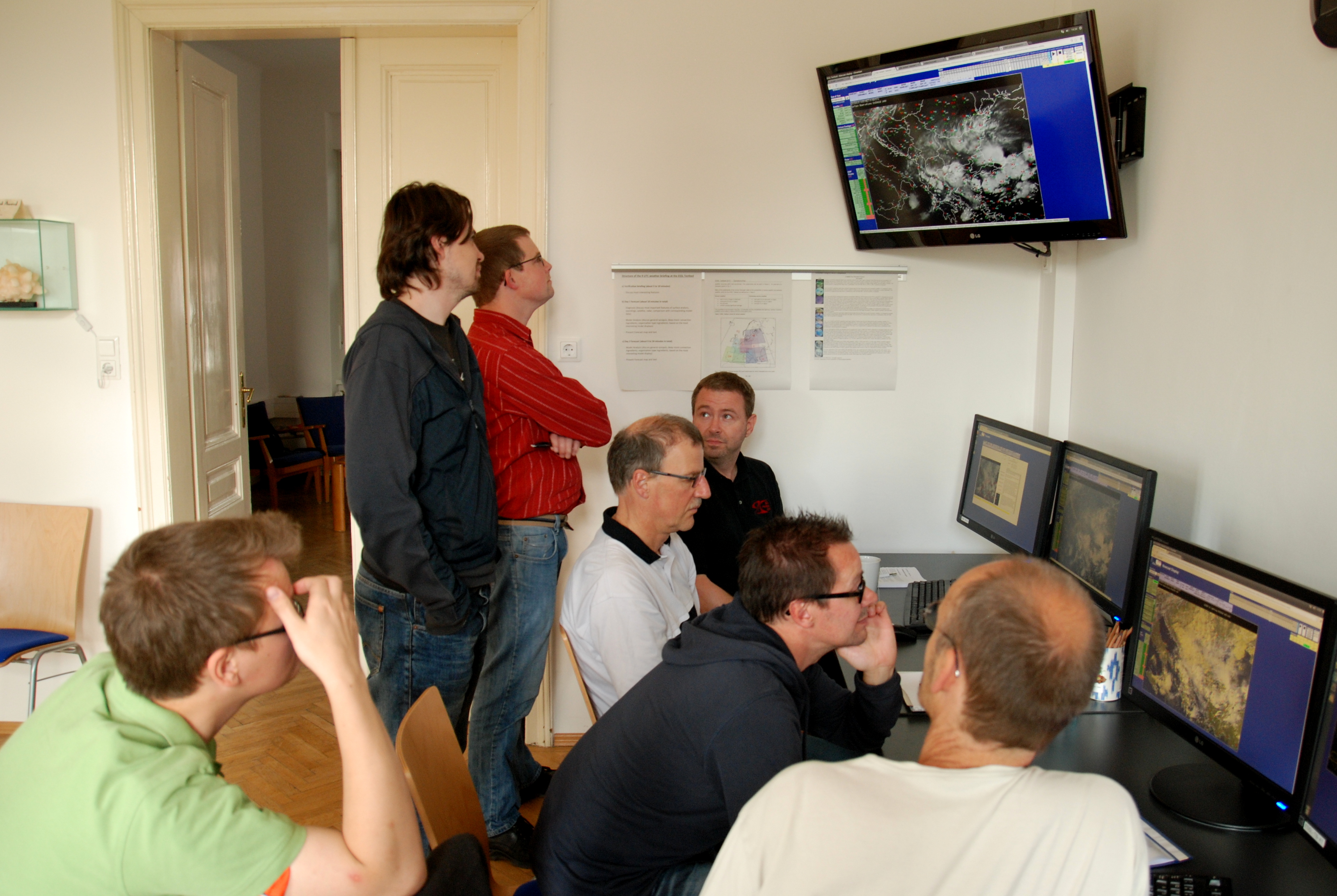
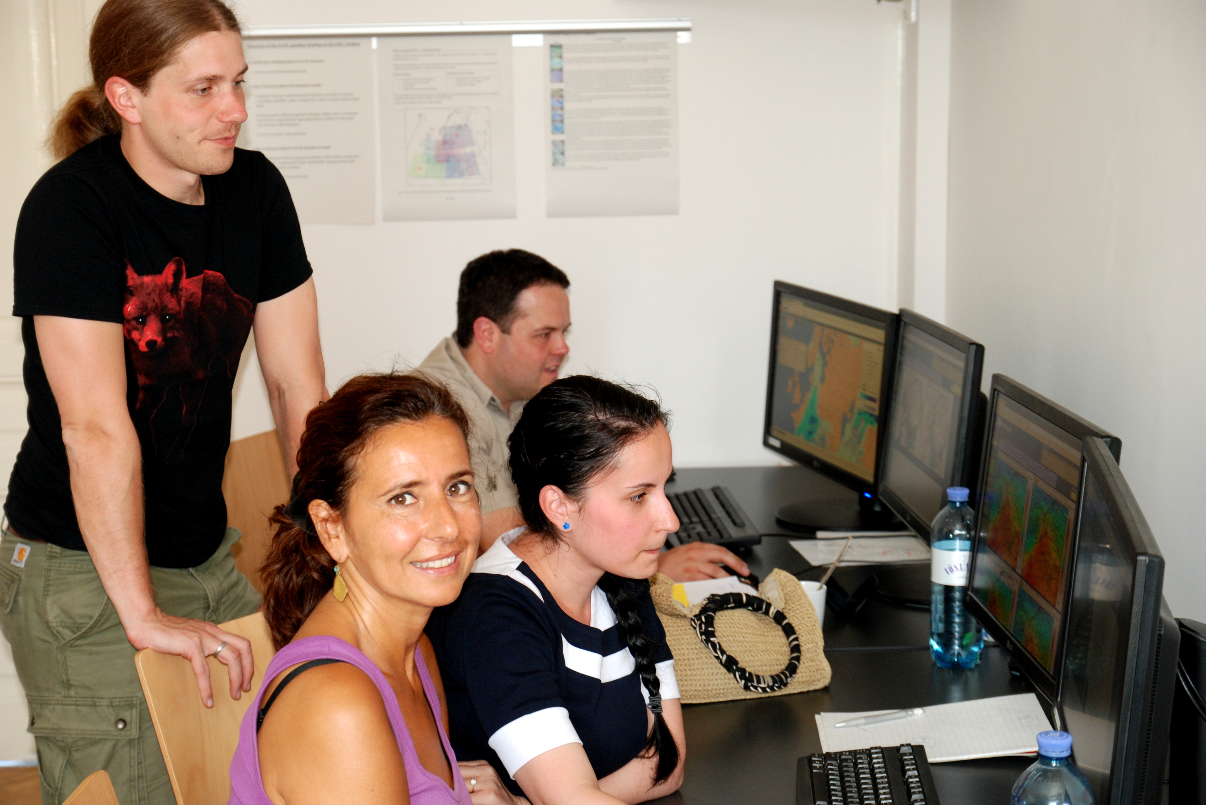
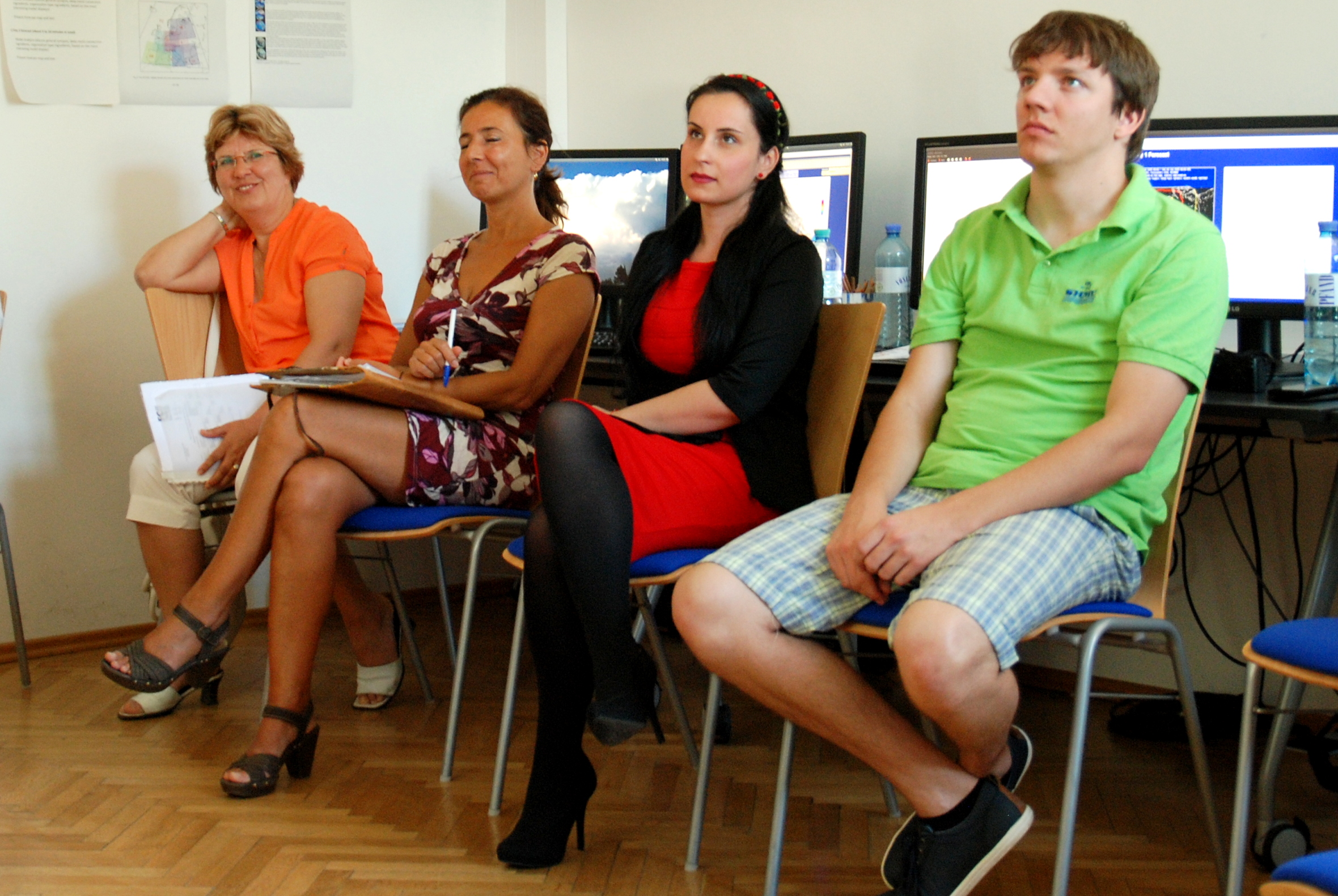
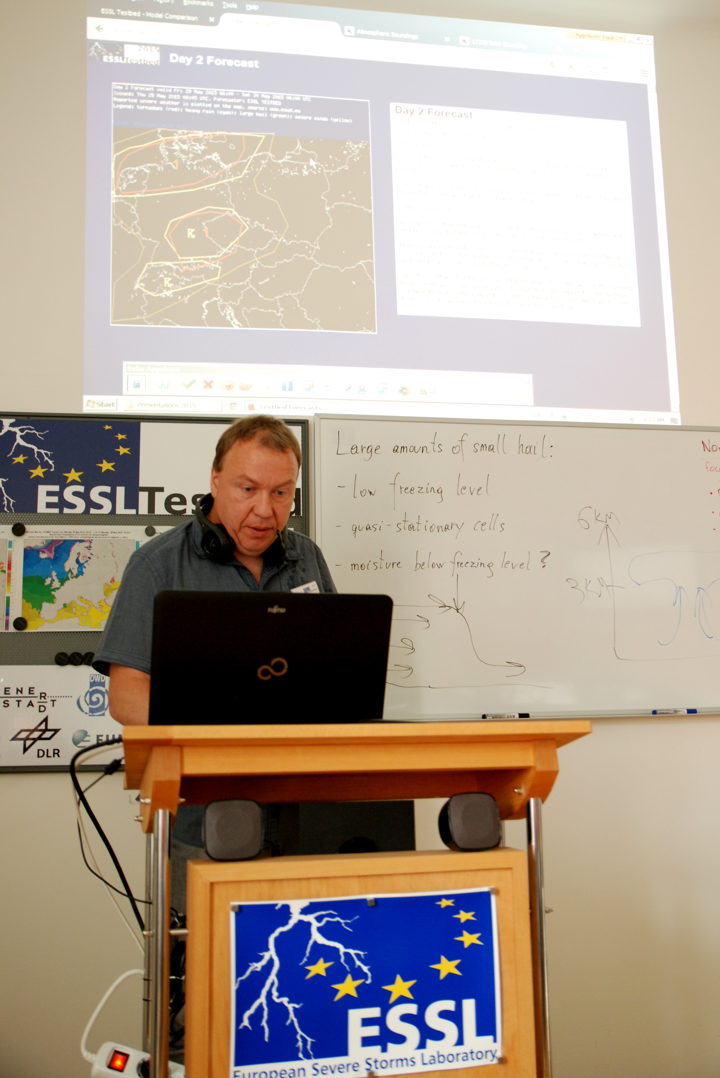
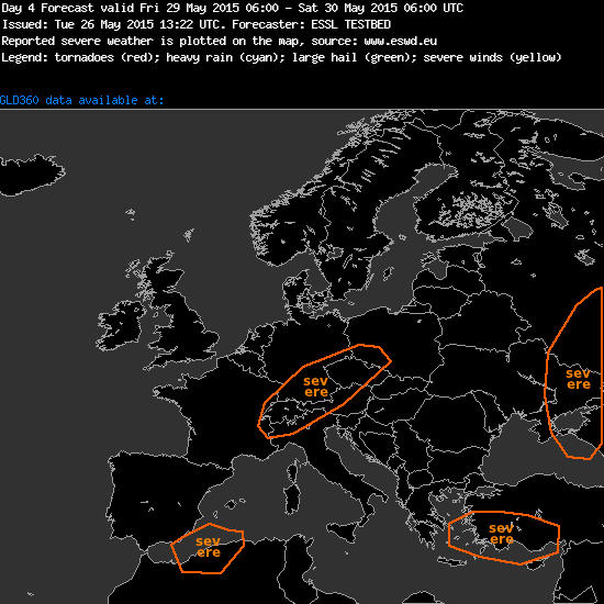
Day2 forecasting activities.
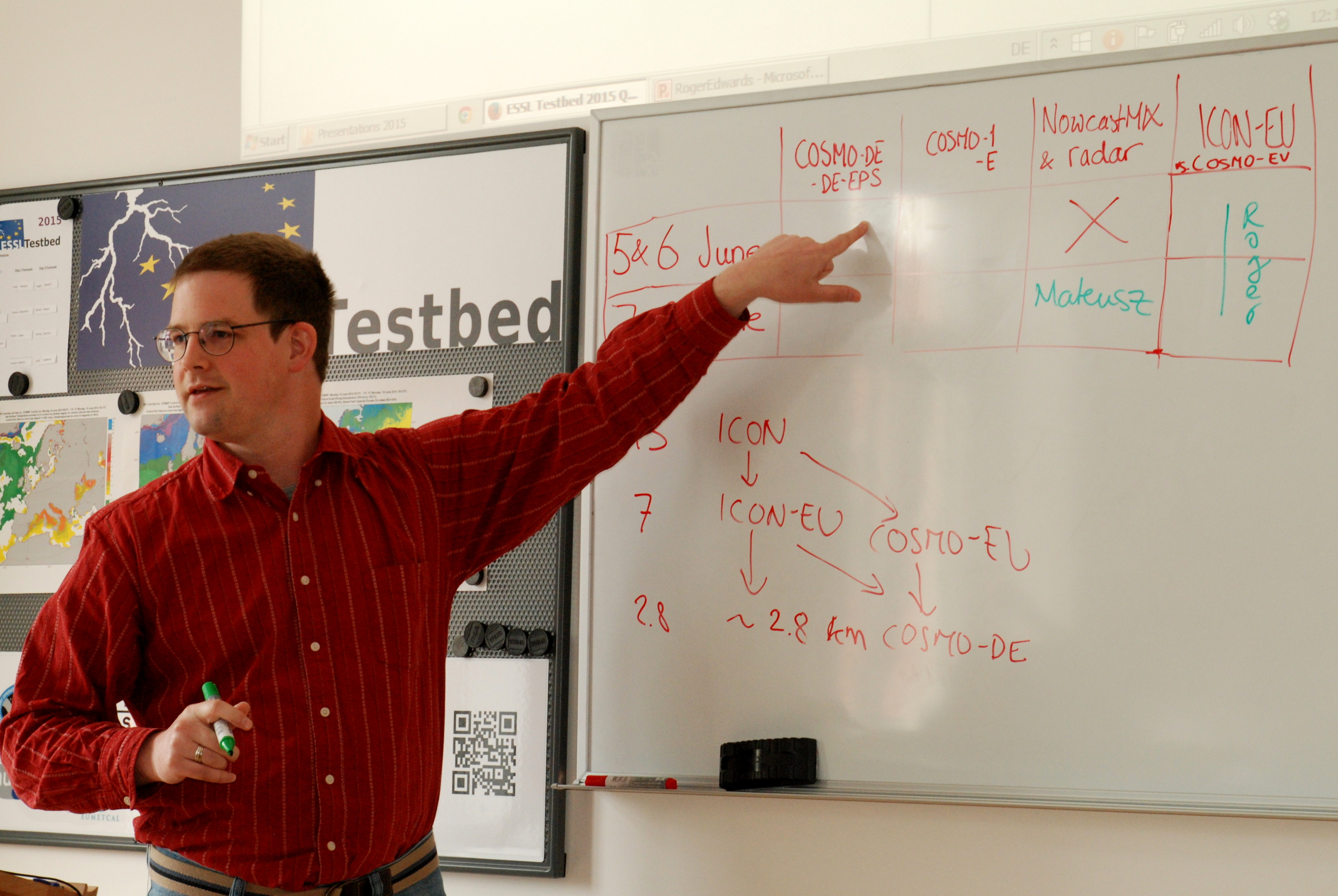
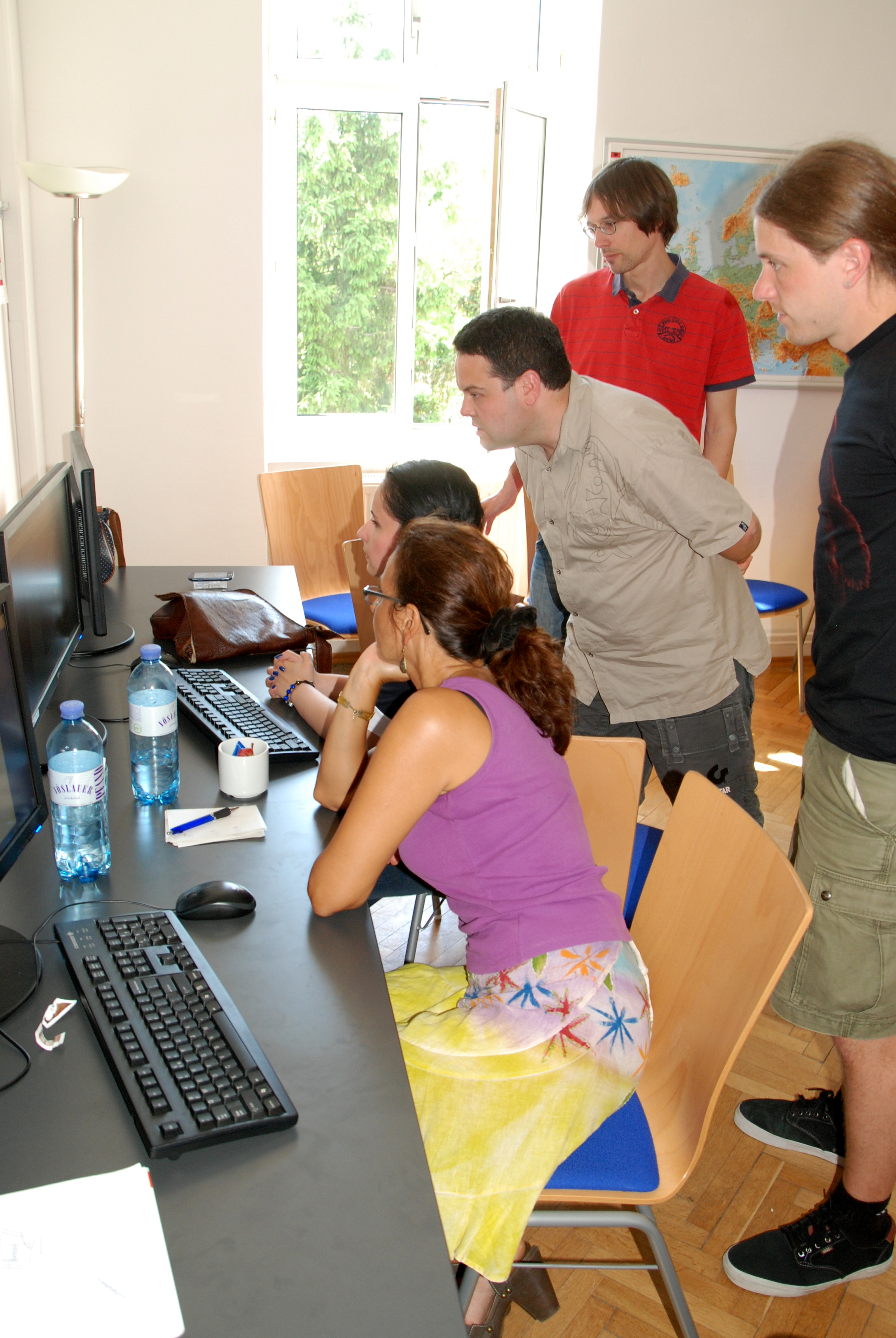
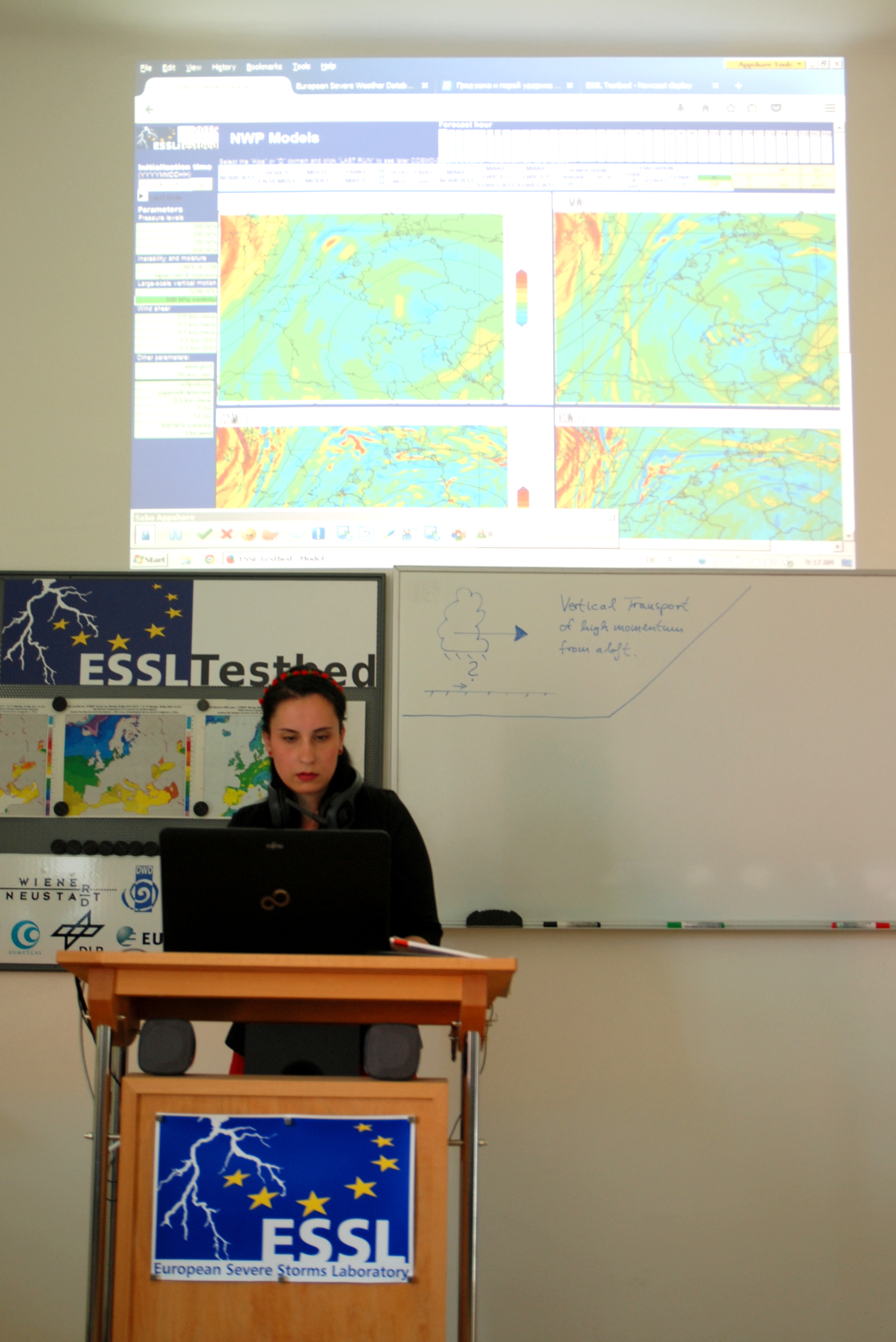
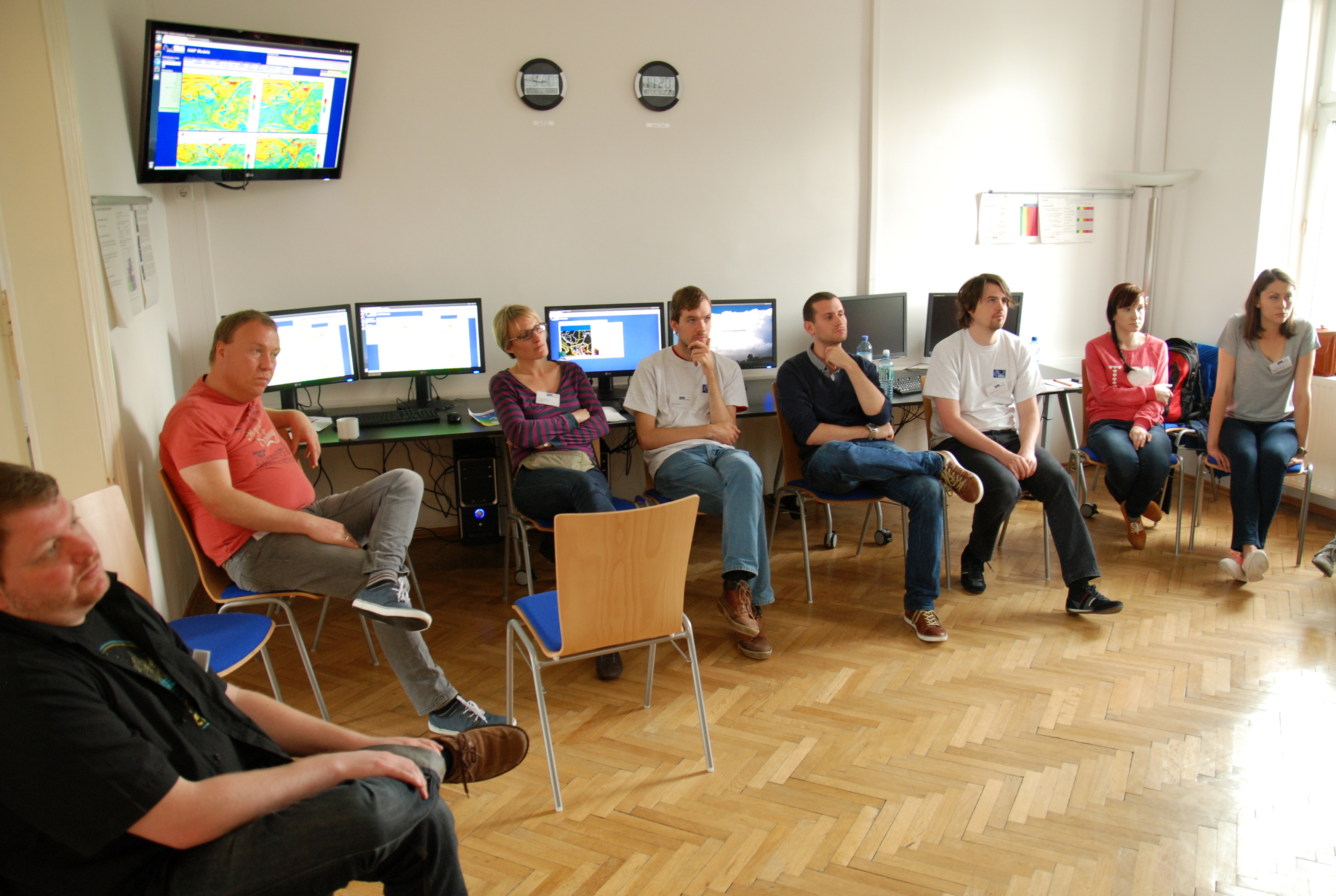
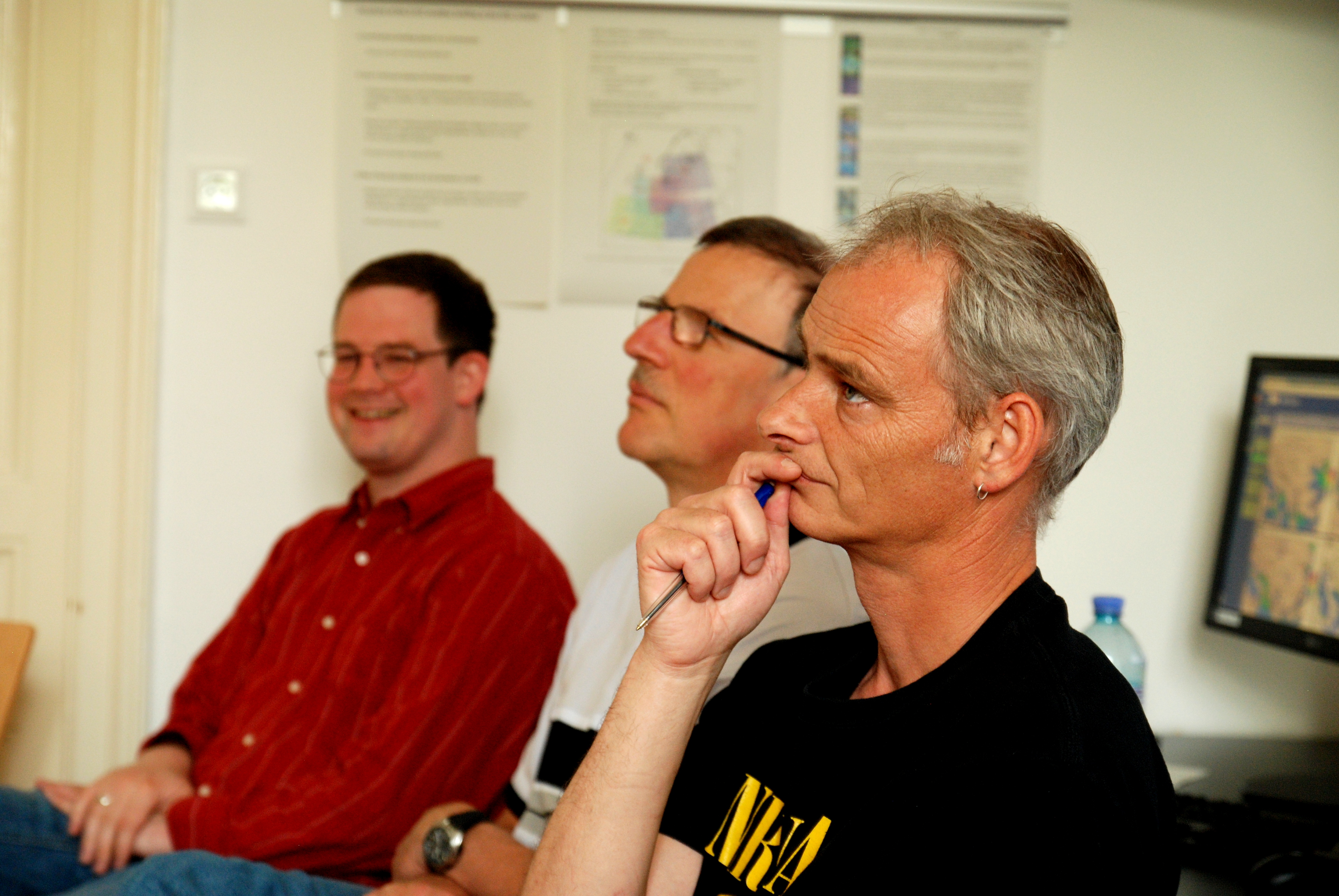
Pieter Groenemeijer leading the evaluation session.

Roger Edwards from Storm Prediction Center during his expert lecture.
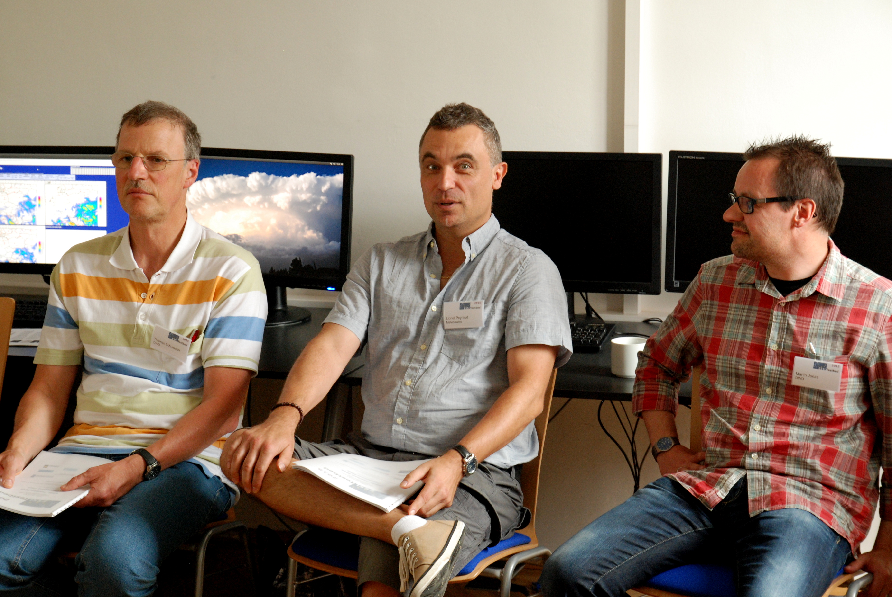
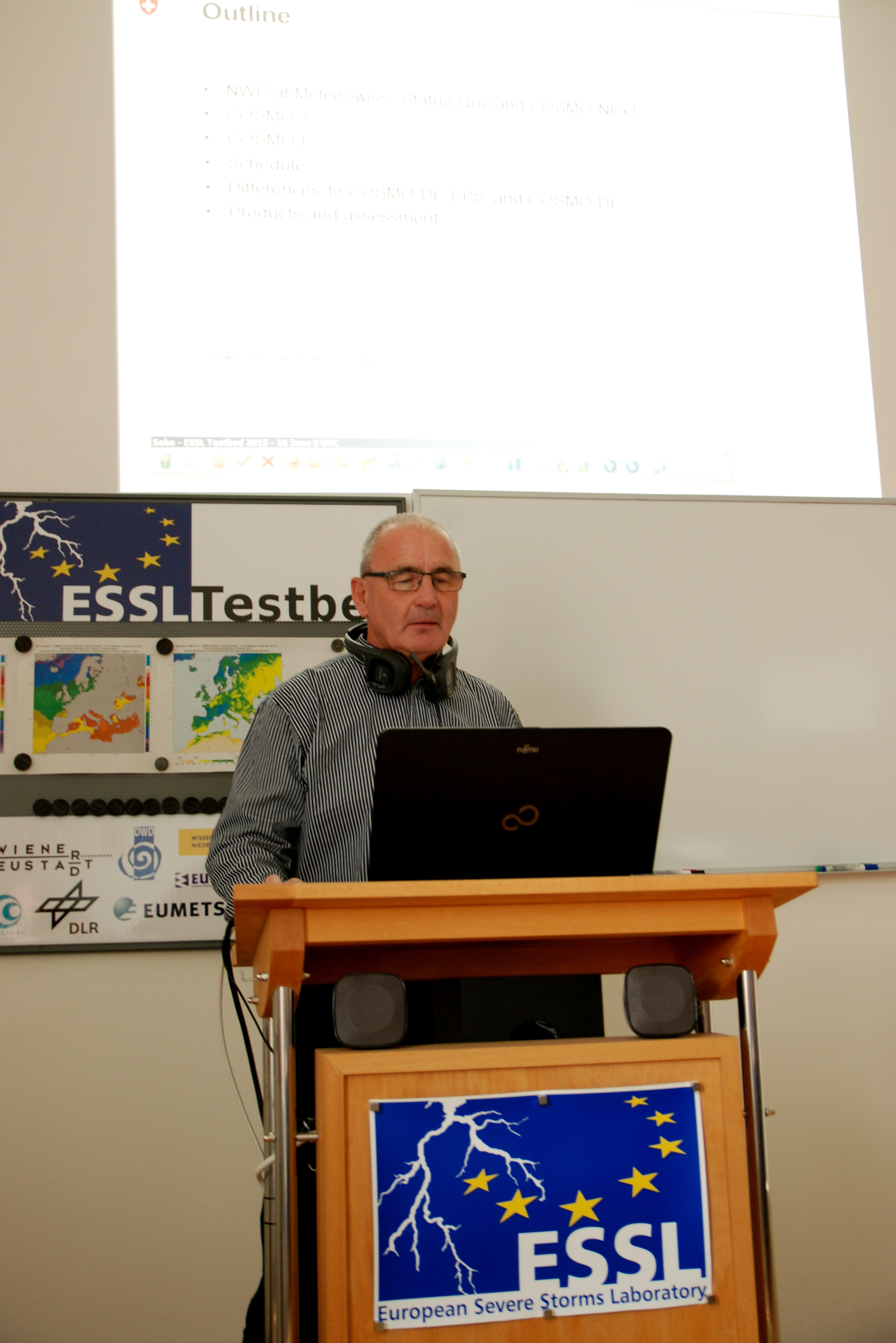
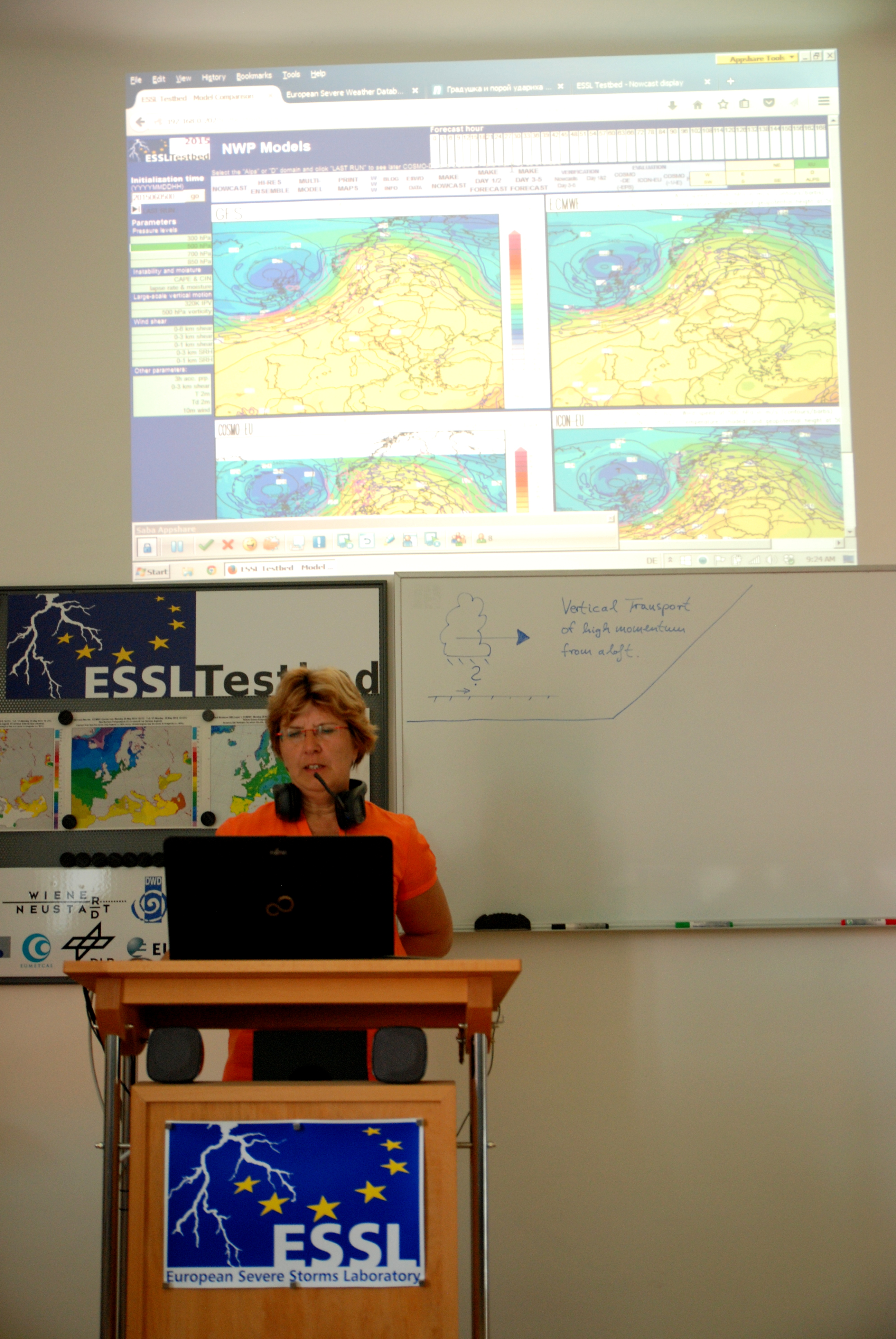
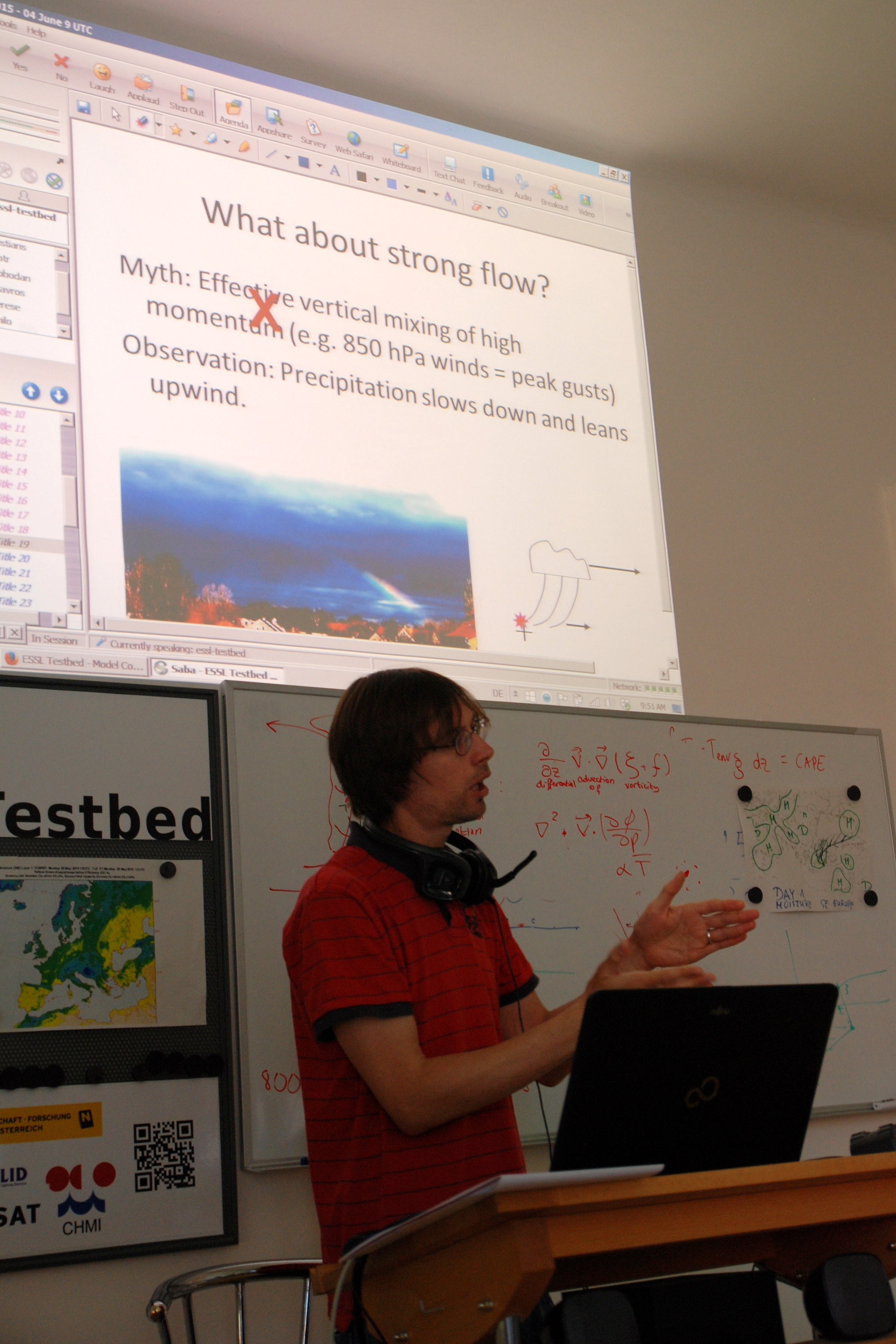
Martin Jonas during weather briefing.

Andres Spirihin during weather briefing.
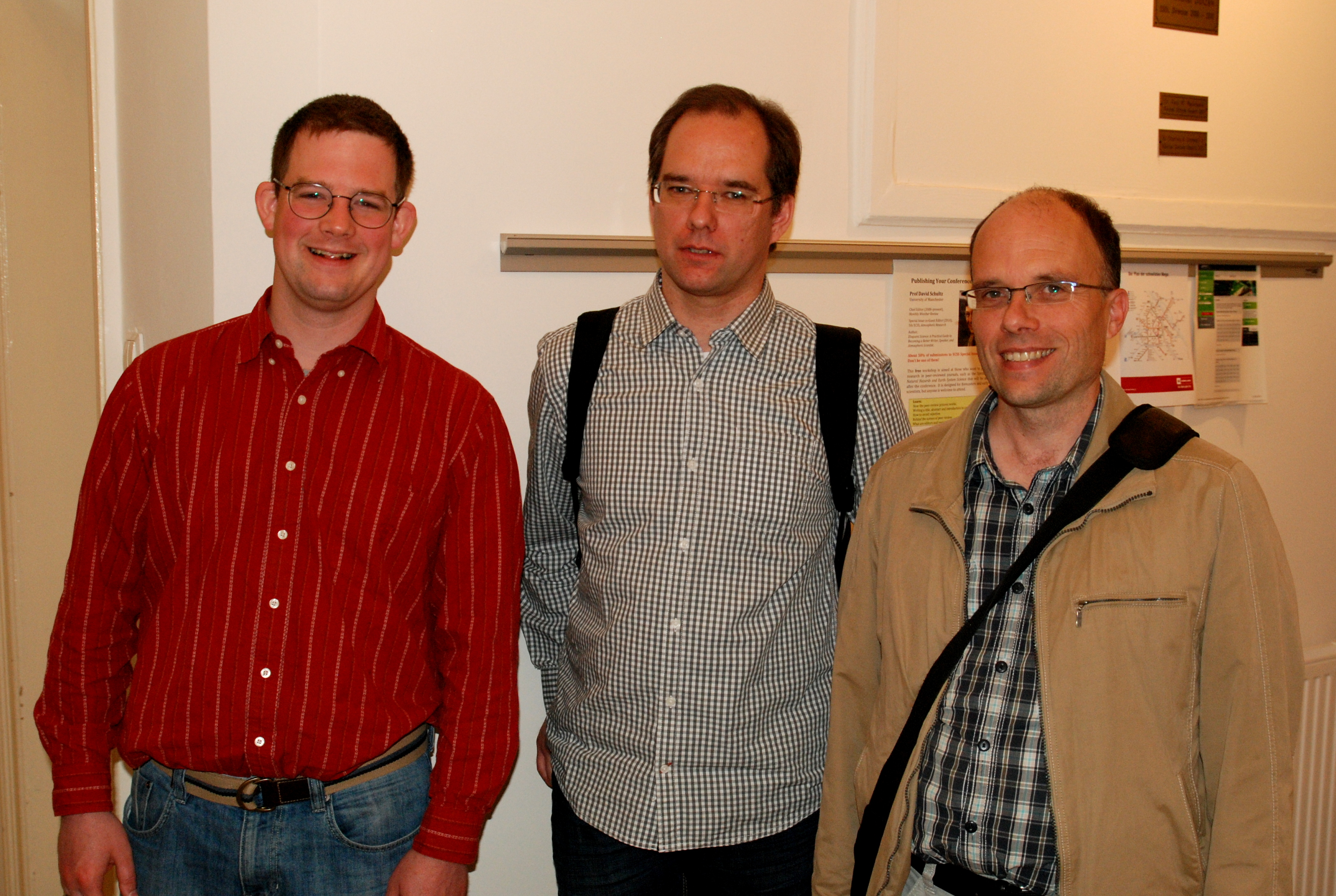
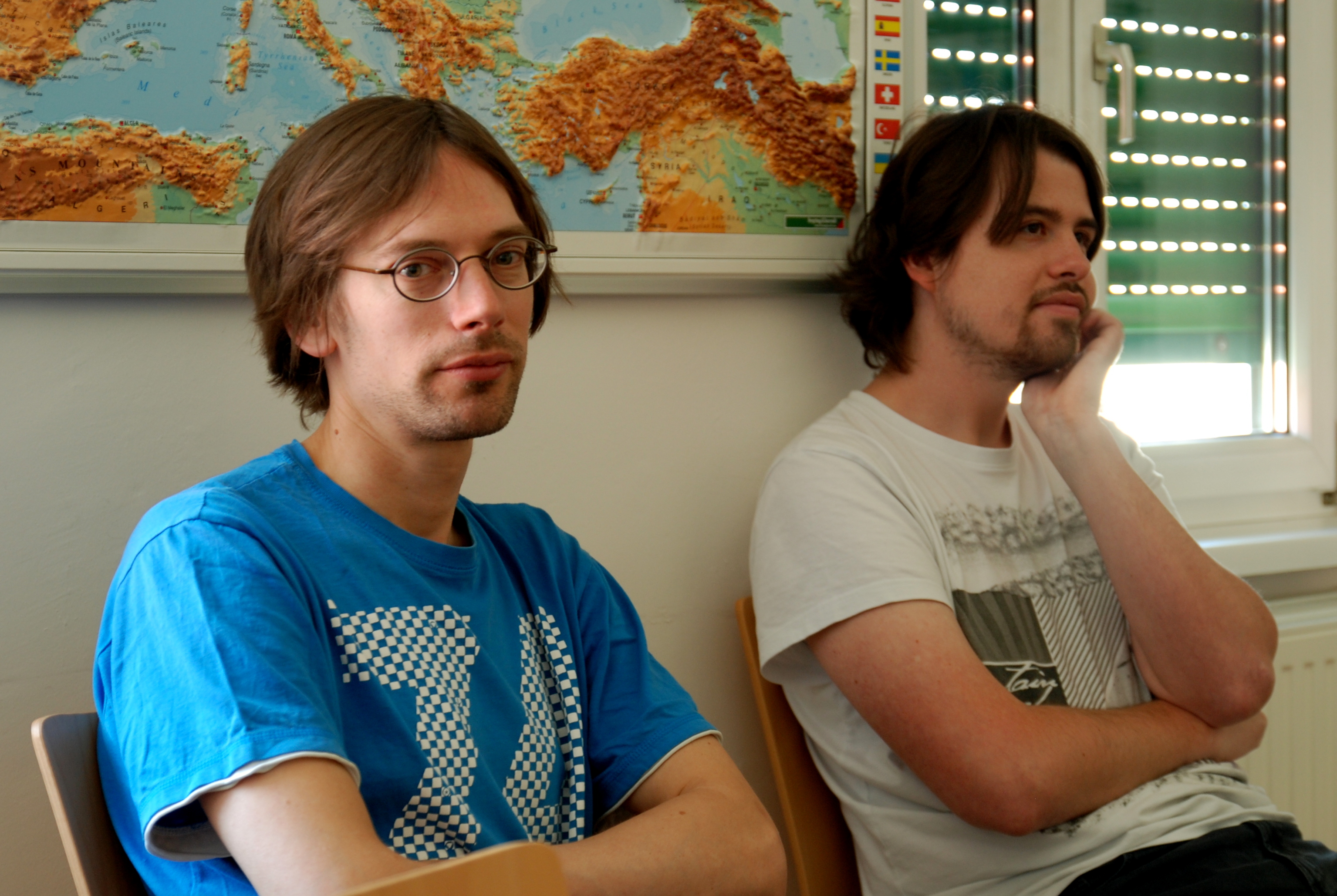
Pieter Groenemeijer, Thomas Hengstebeck and Paul James.
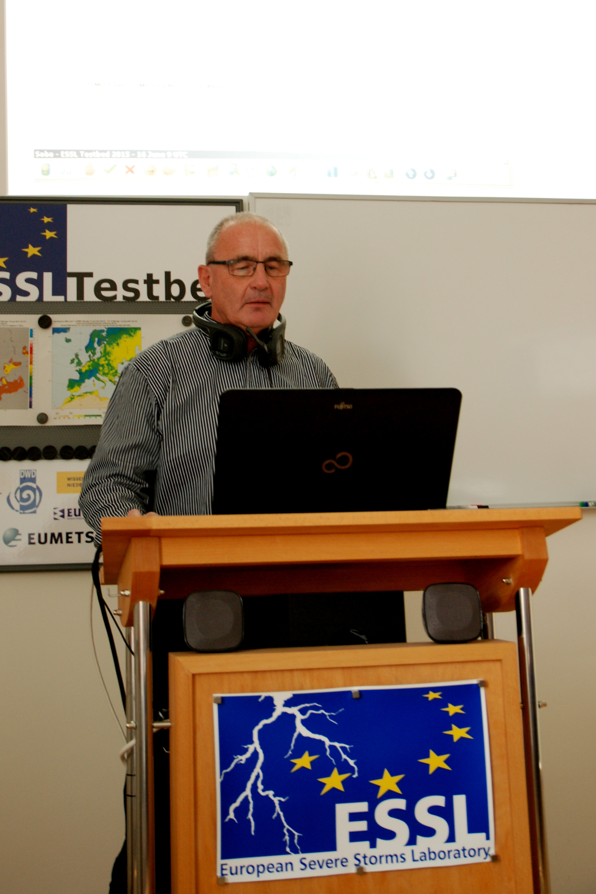
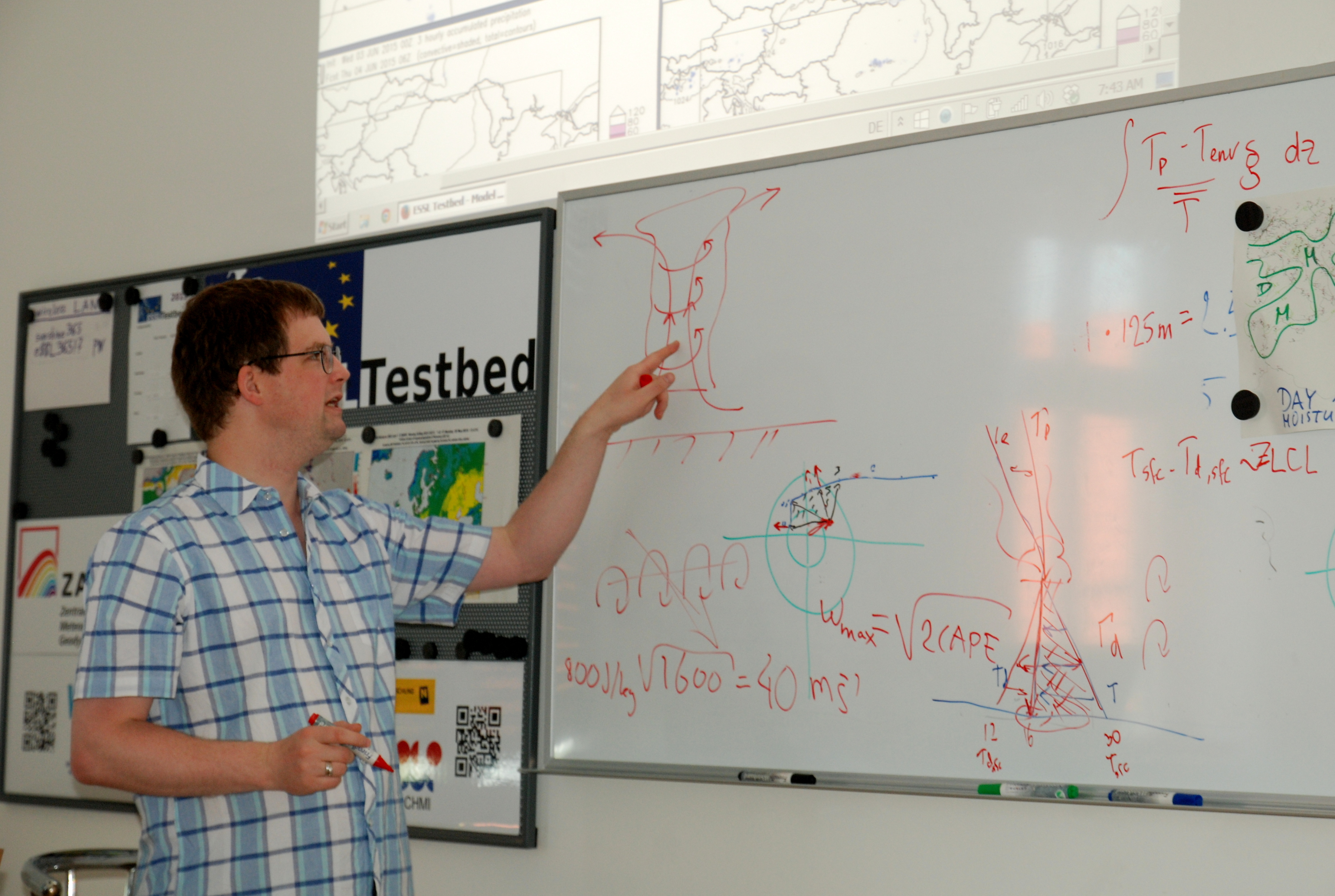
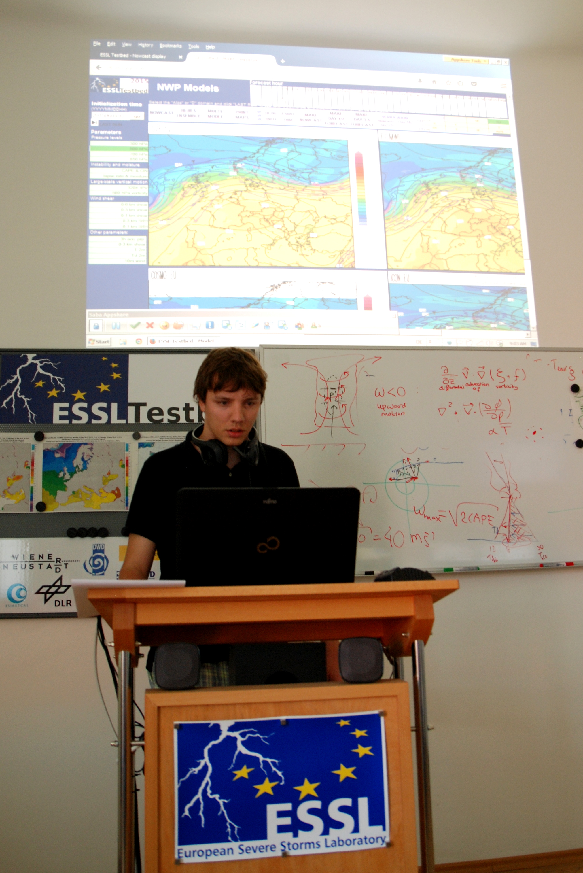
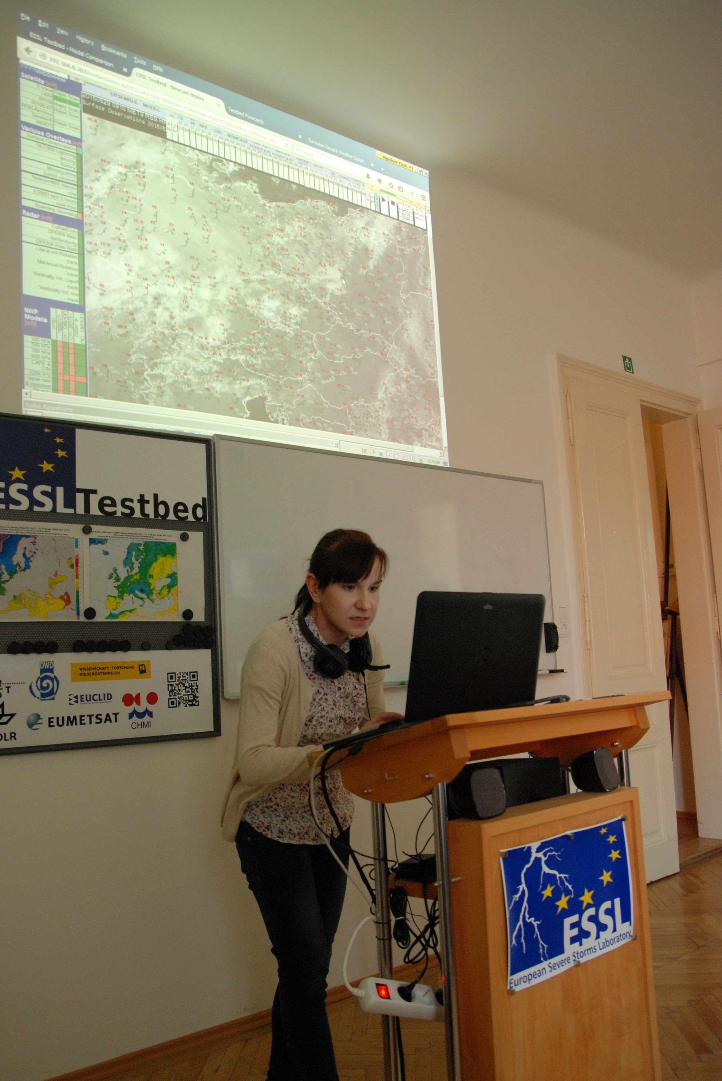
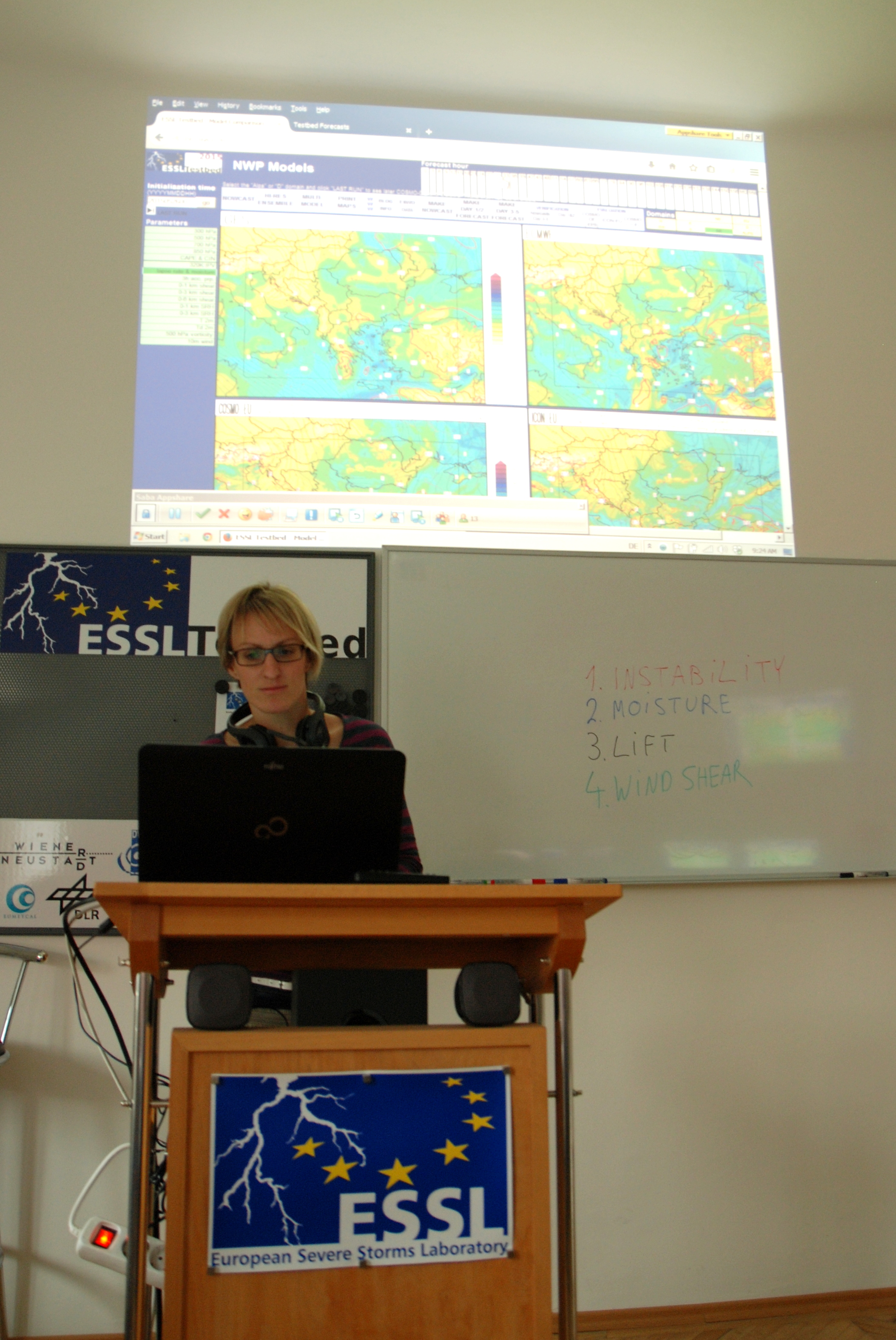
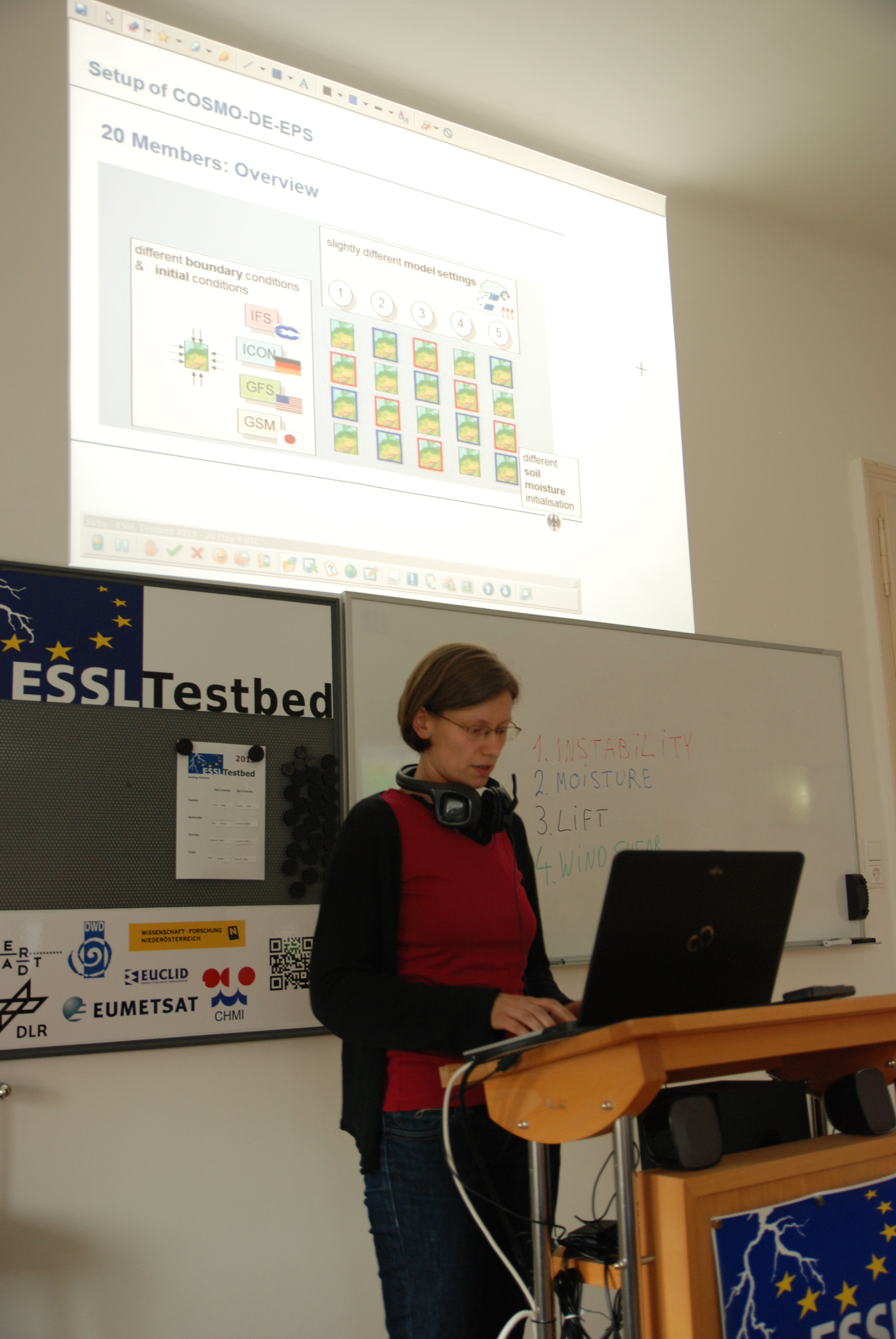
Jacques Ambuhl during his weather briefing.
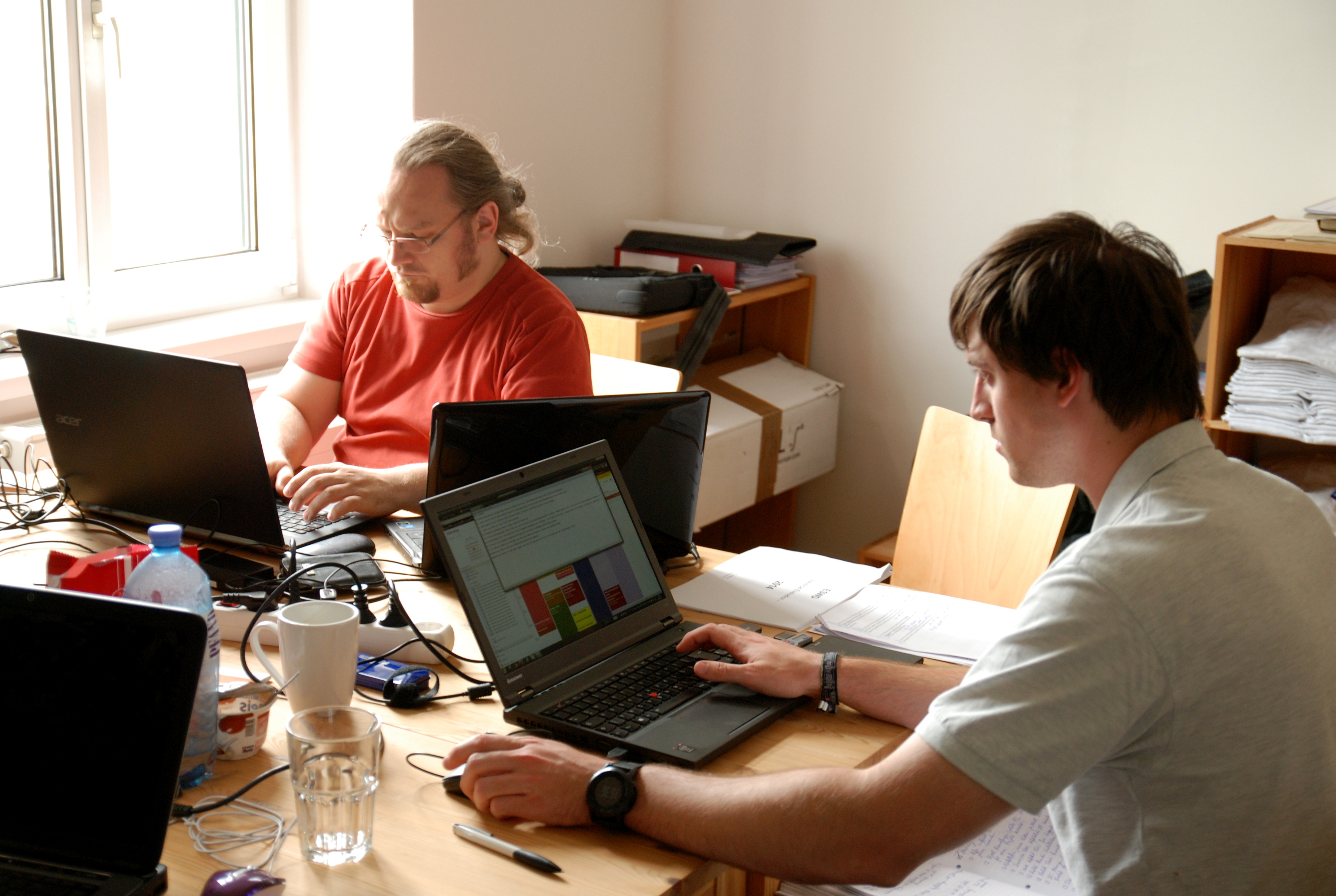
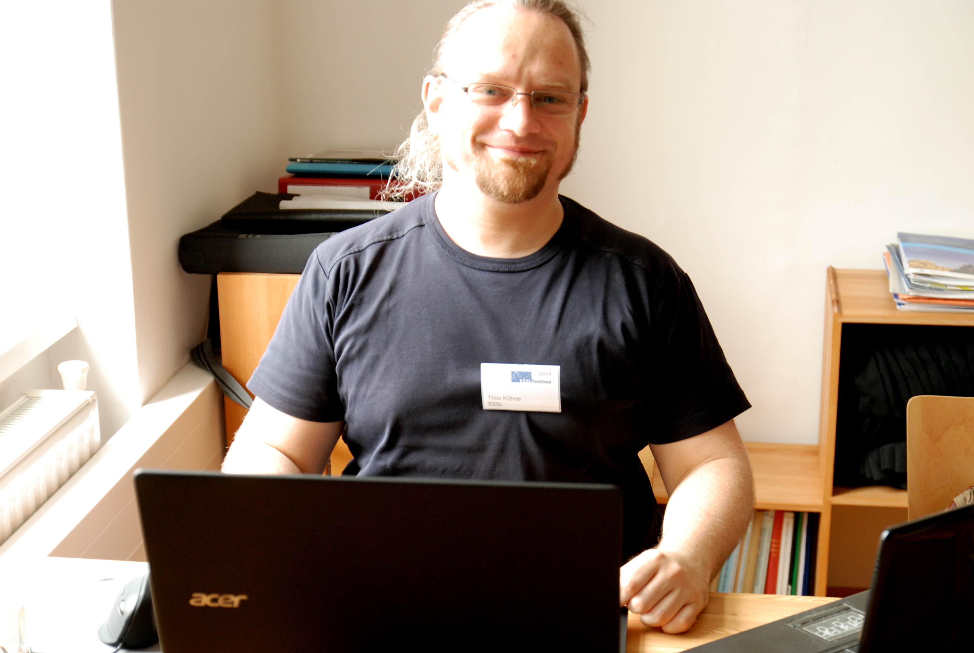
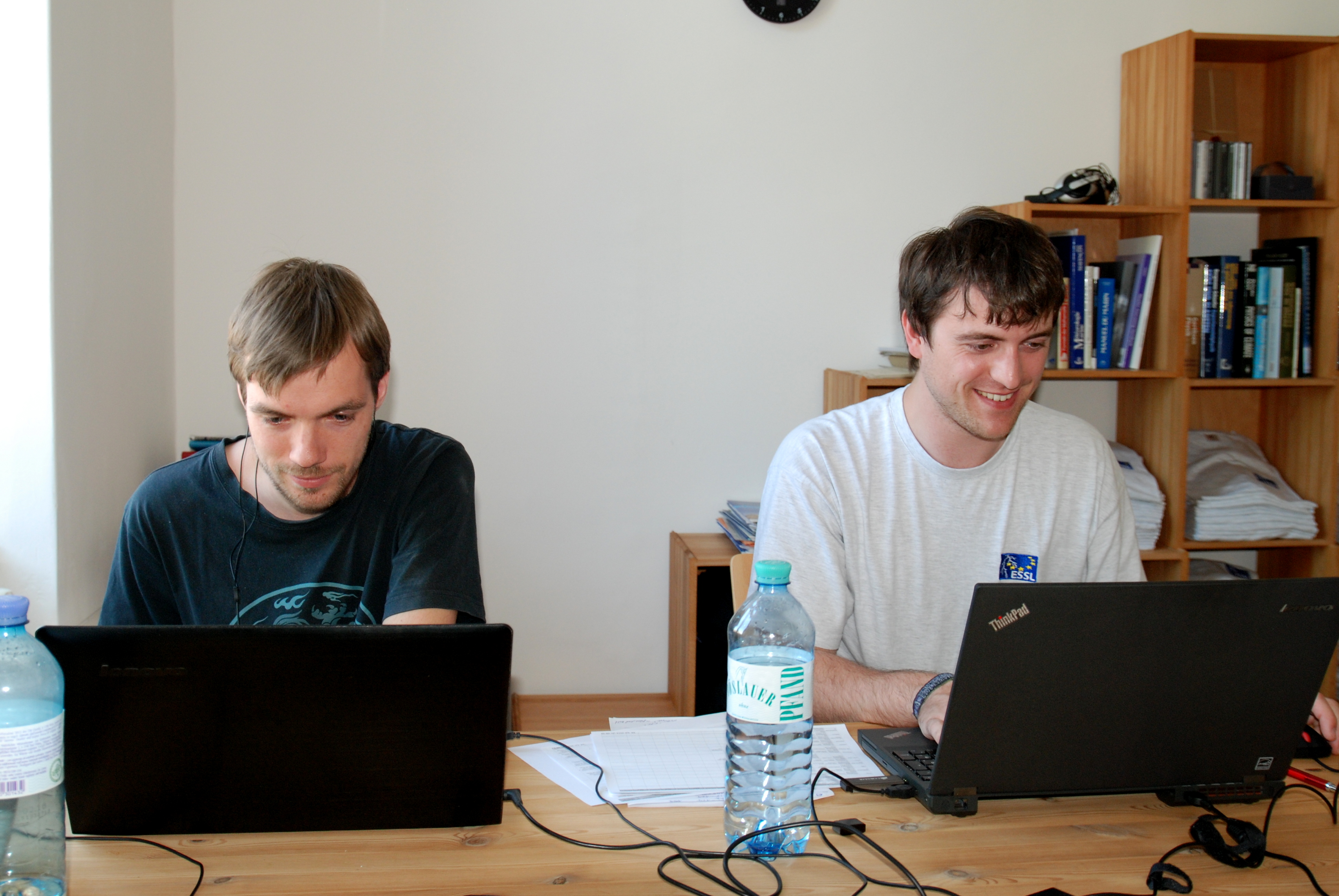
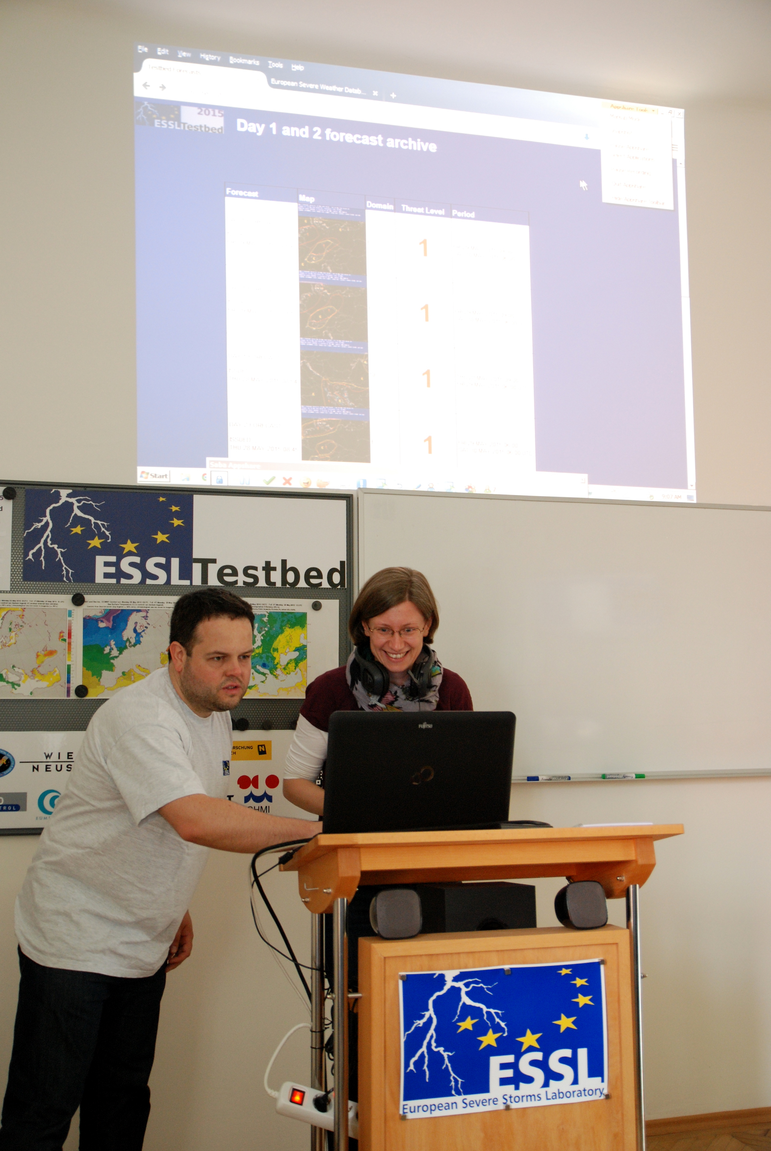
Our office team during their work, Thilo Kuhne and Thomas Schreiner.
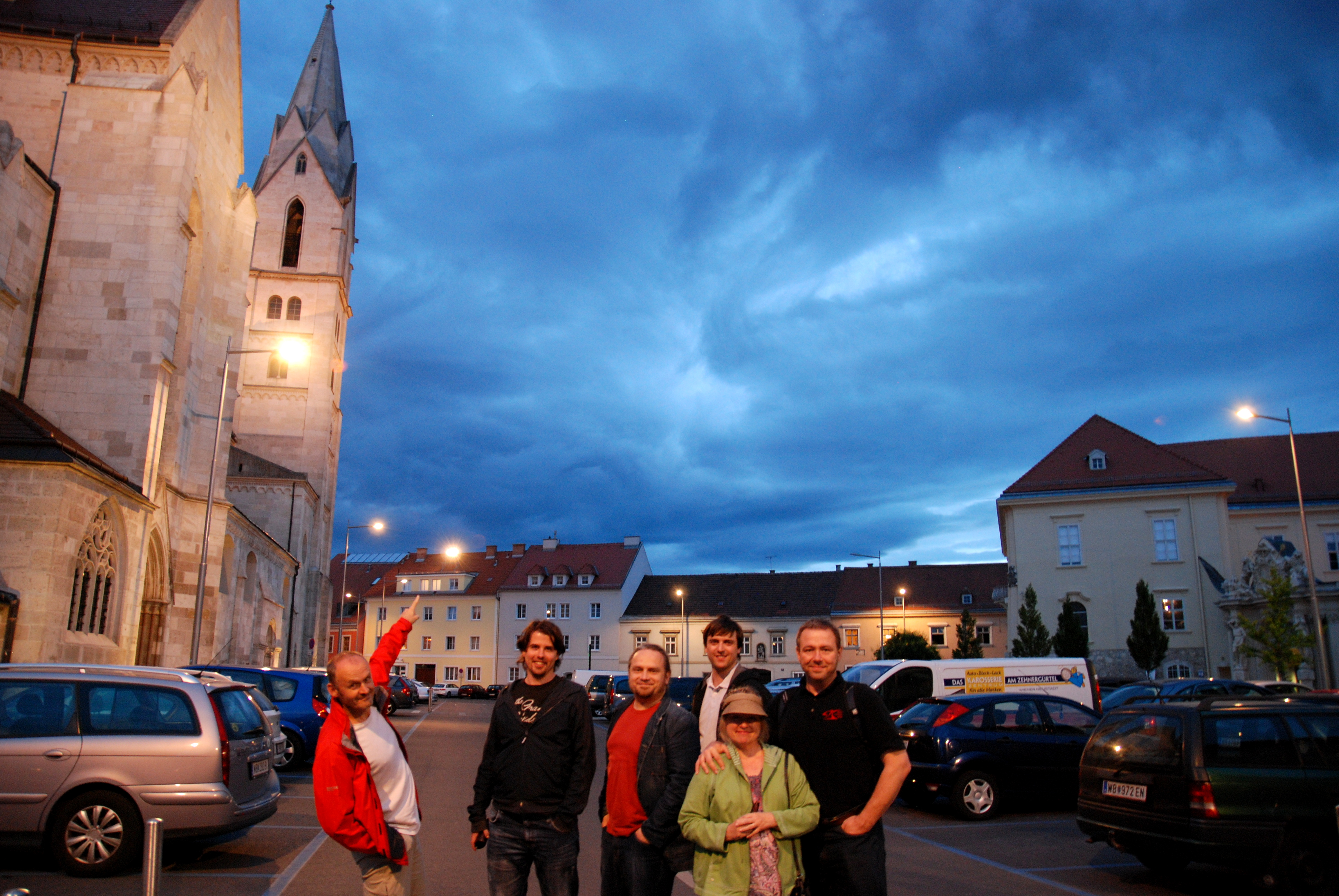
Beautiful stratiform cloud structures were also the part of our evening sighteeing in Wiener-Neustadt.
On Monday we start our last week of 2015 testbed, let’s hope for good severe weather setups!