Focus for thunderstorms shifts to Spain

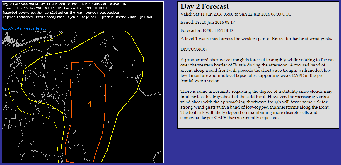
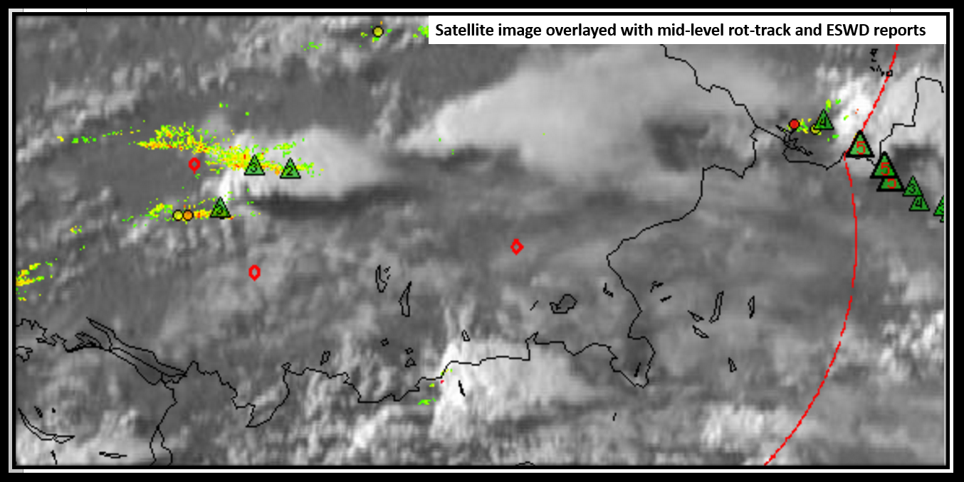
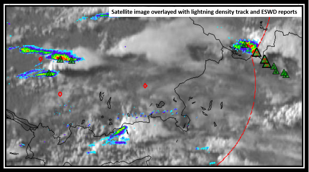
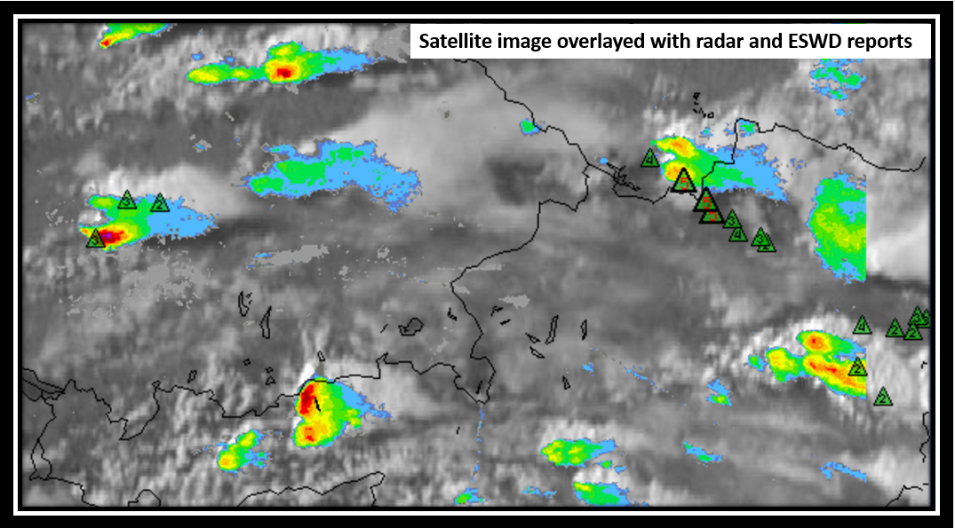
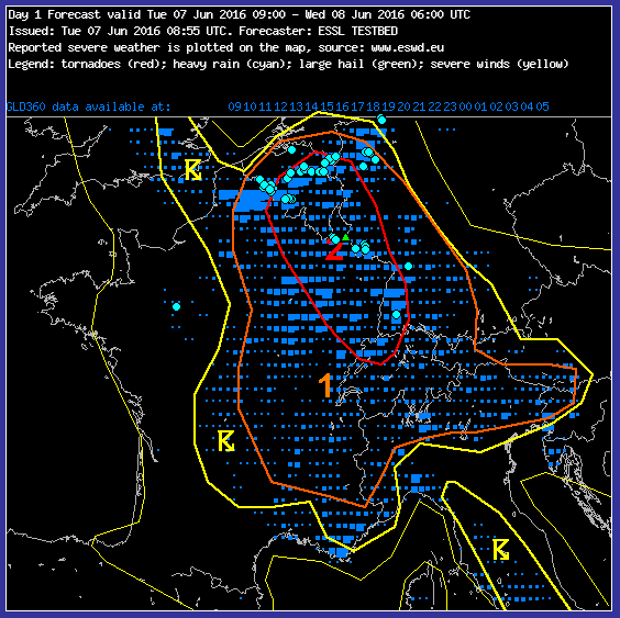
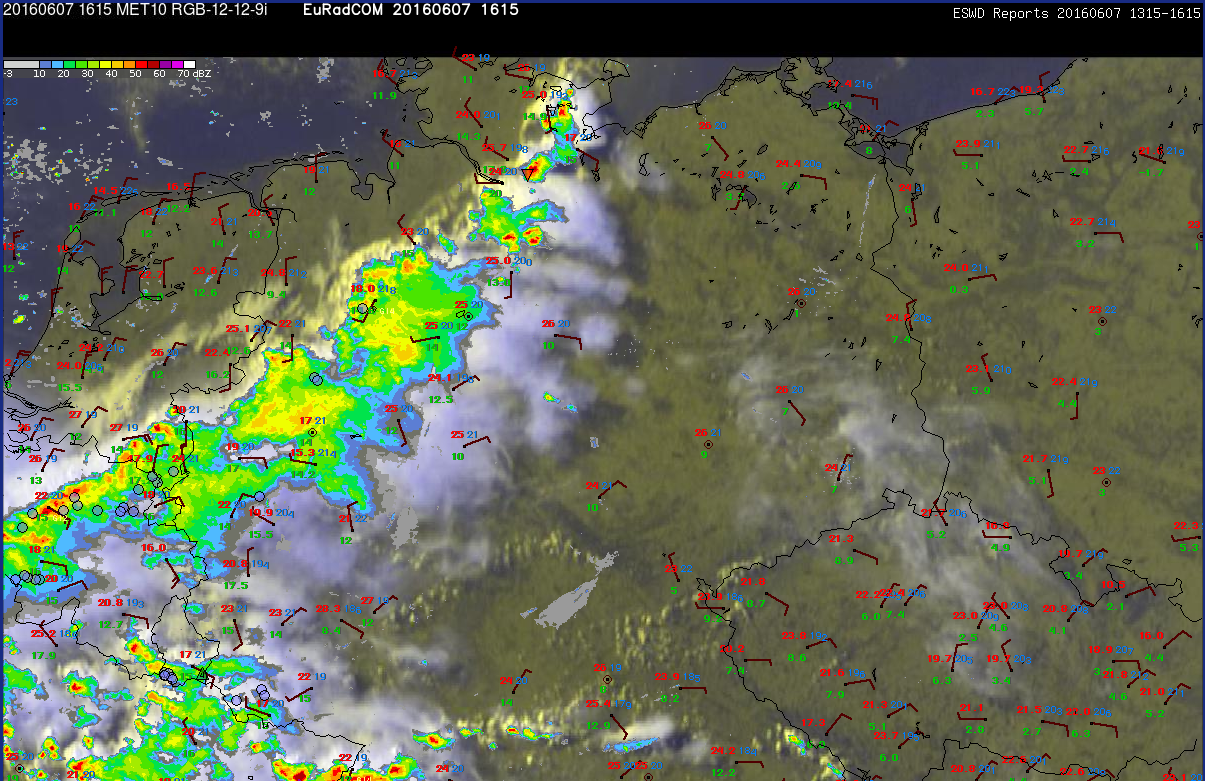
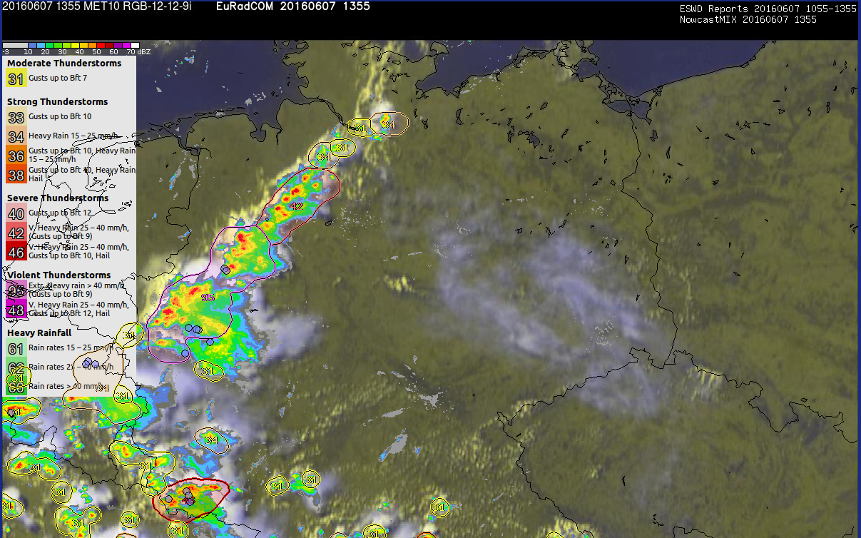
Today’s session began with the verification of yesterday’s outlook, which in general verified well. Both distributions of lightning activity but also of numerous severe weather reports were covered by the forecasters with lightning and level 1 areas respectively. The main discrepancy occurred over the far western Ukraine. A fast moving cold front was anticipated but instead, a line of storms evolved, which re-developed over the same area for a prolonged period of time. The reason for this development probably was the orientation of the front compared to the background flow. Over that area of interest, the front had more an east-west alignement and hence was placed nearly parallel to the background flow. Therefore flash flood producing rain was the main risk which was verified by a few reports. Yesterday’s nowcasting group indeed issued a watch area for excessive rain along that line of thunderstorms!

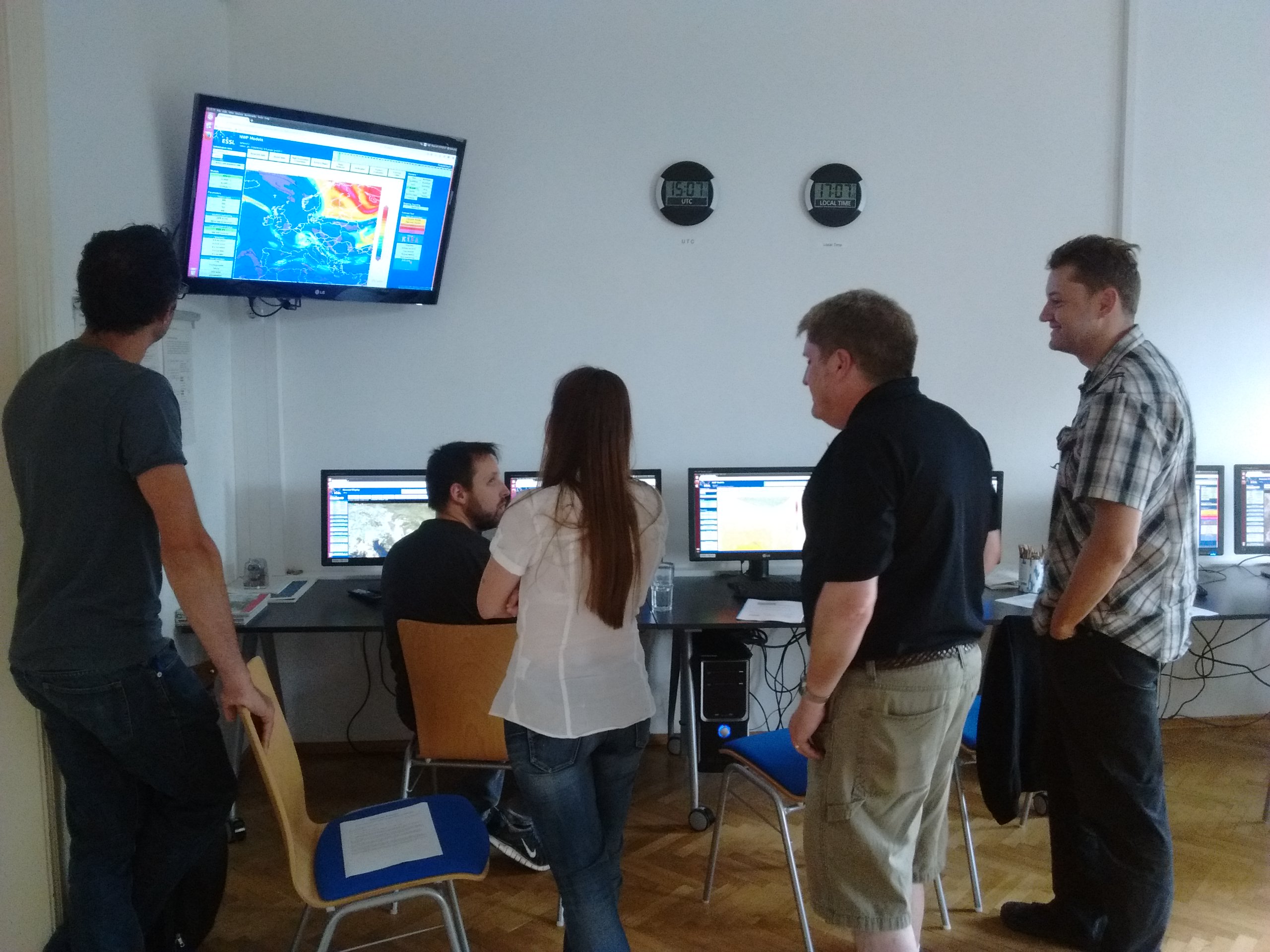
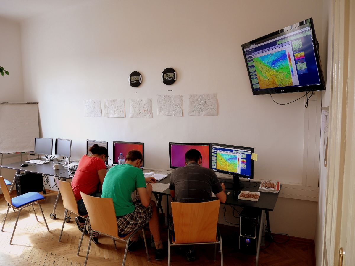
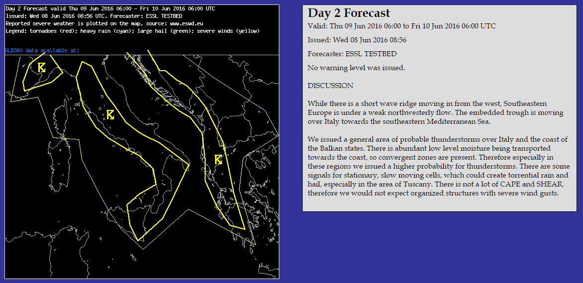
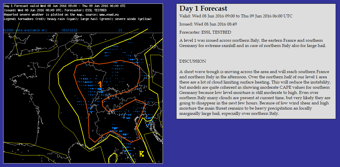
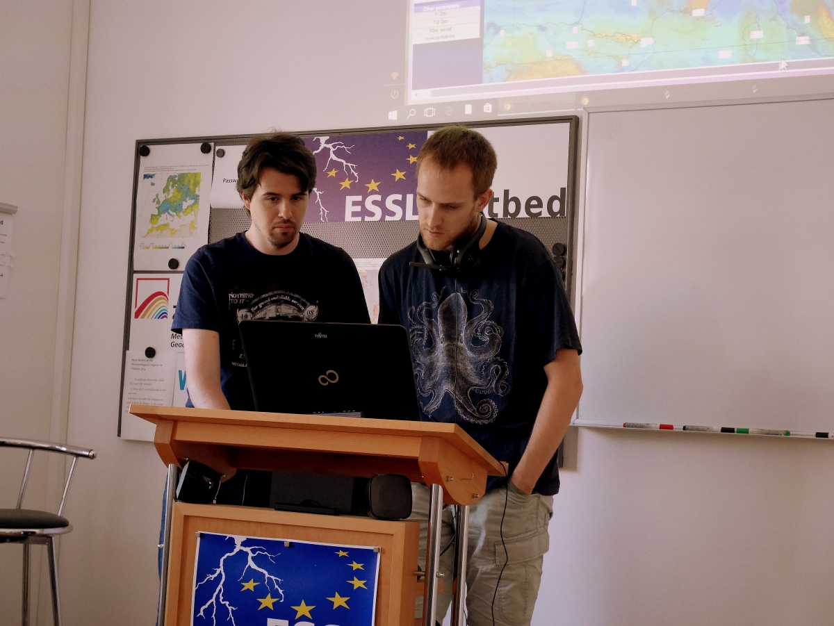
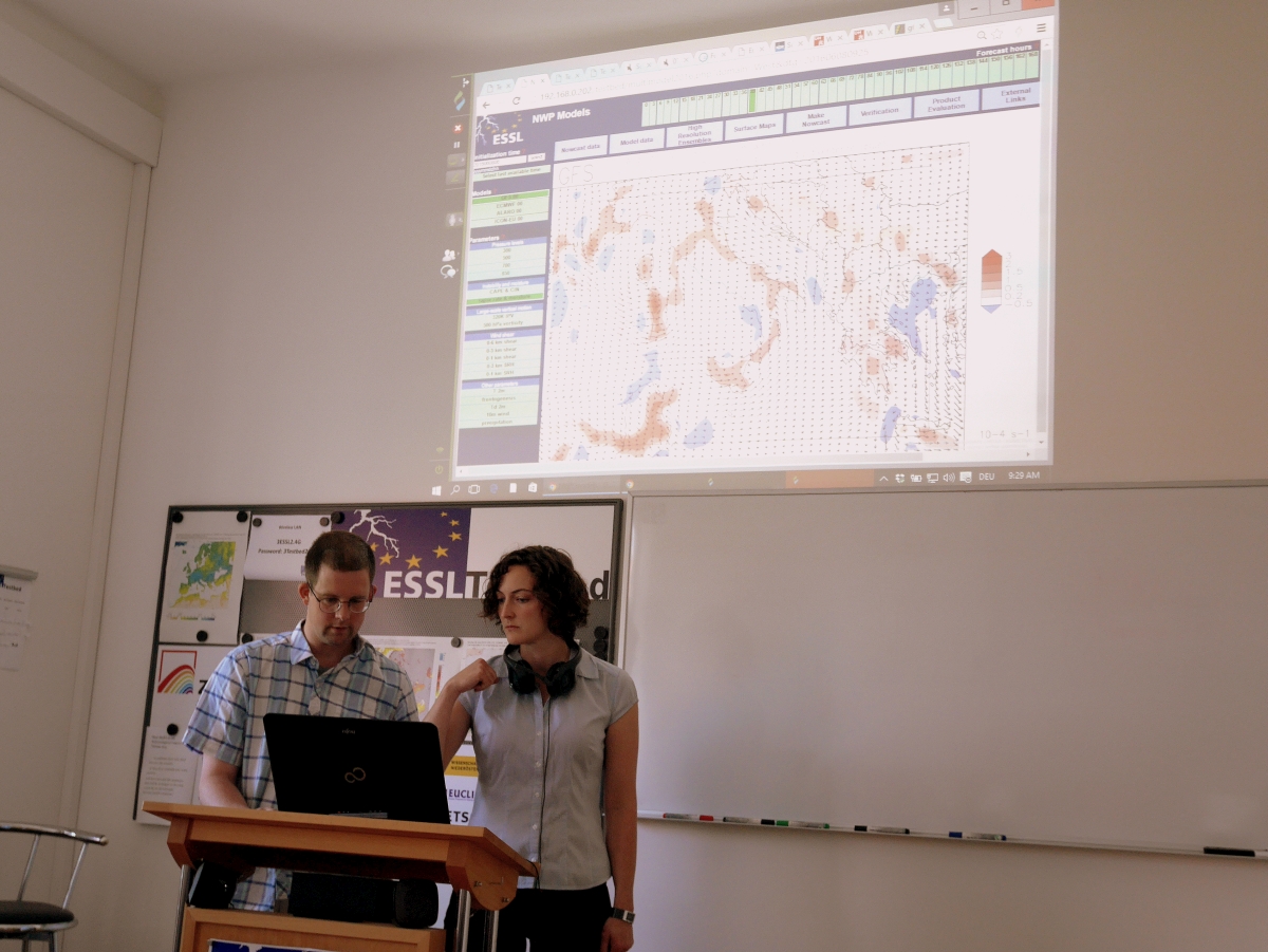
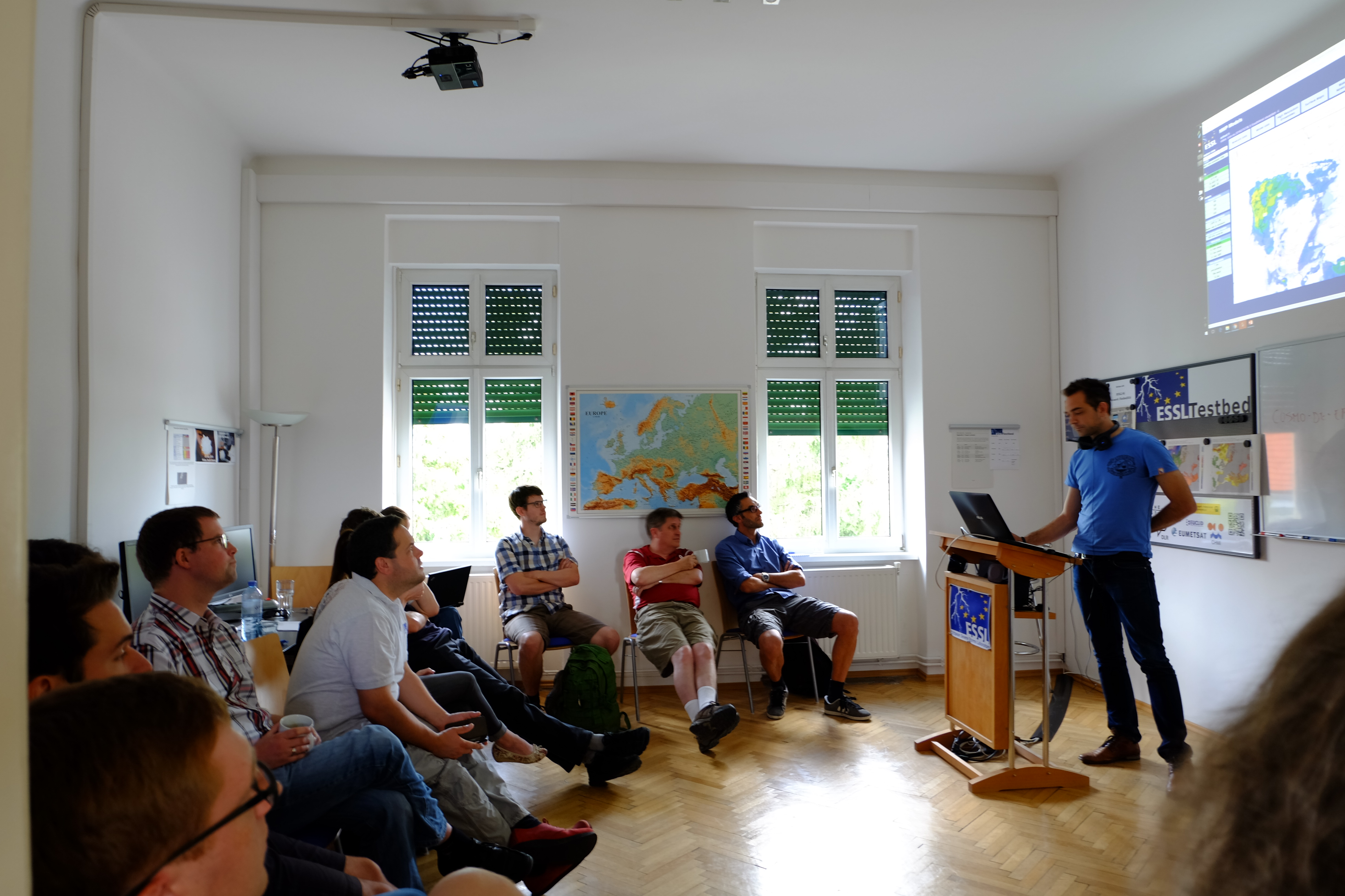
Thereafter once again Day 1 and 2 outlooks were prepared and two participants of both groups presented the results:

DSCF1146 DSCF1149

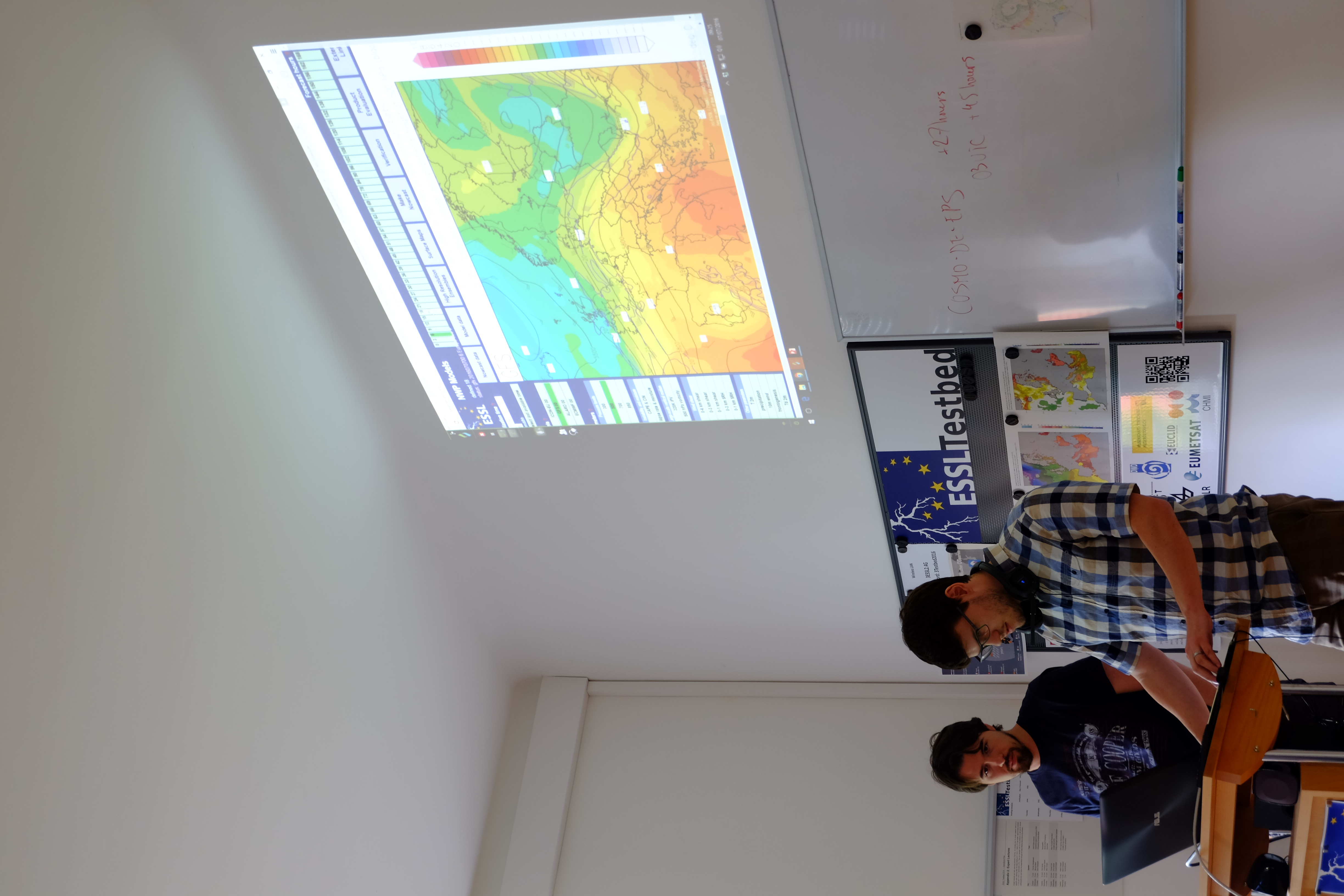
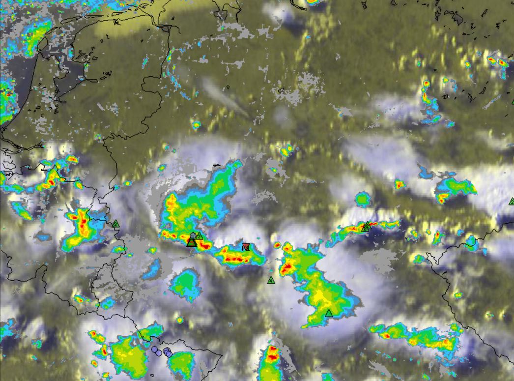
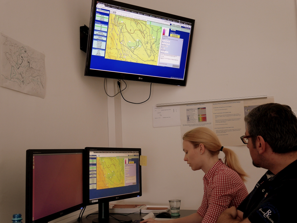
Especially the Day 1 group had a difficult task to forecast the activity over Spain, Portugal and Algeria. Thunderstorms were already ongoing, but a complex interaction of strong cap, rough orography, various outflow boundaries and numerous regions with showers/thunderstorms caused vivid discussions about where to place any level area. In addition, hand analysis was performed to get a better feeling about how good/bad models displayed the near real time environment.

DSCF1155

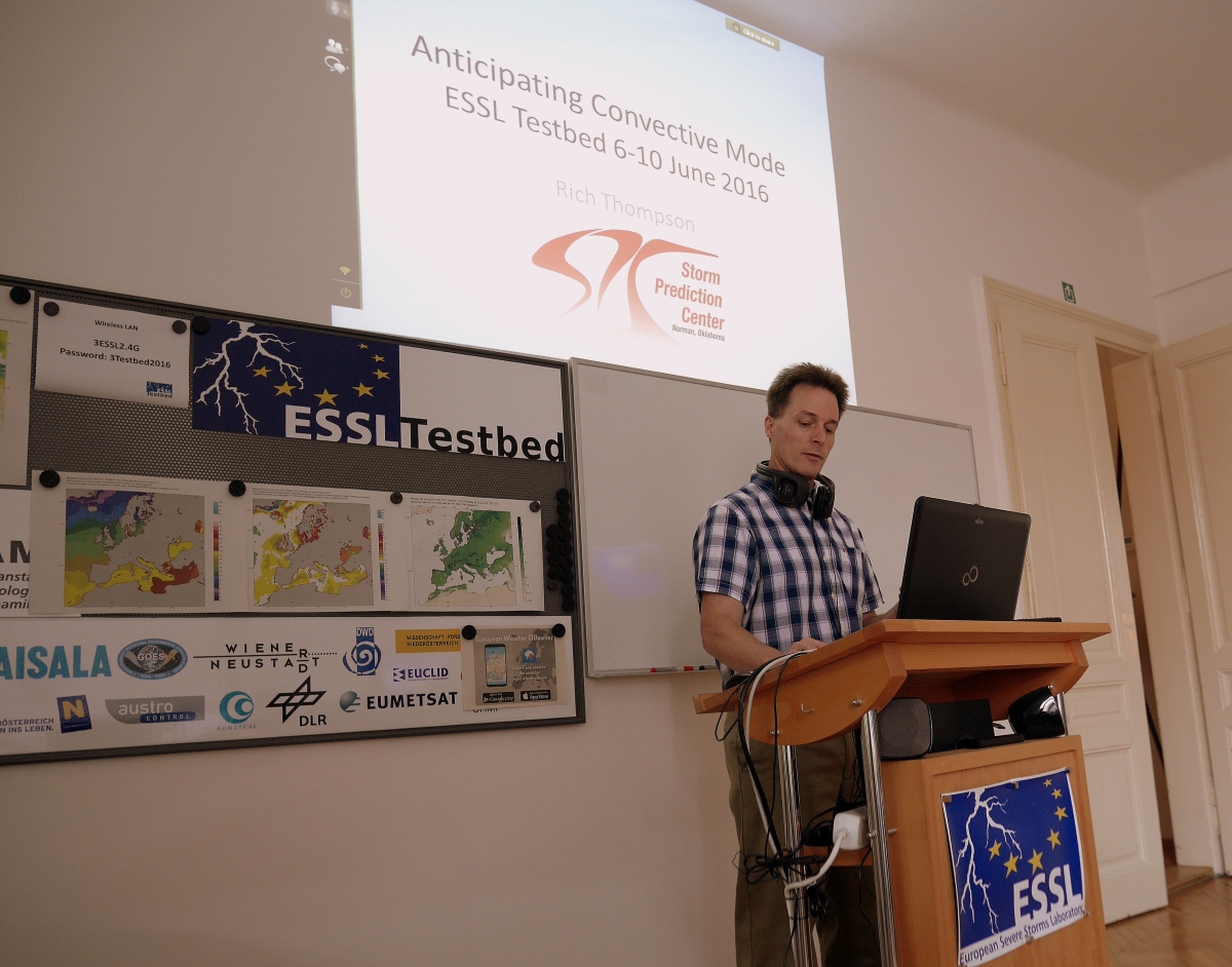
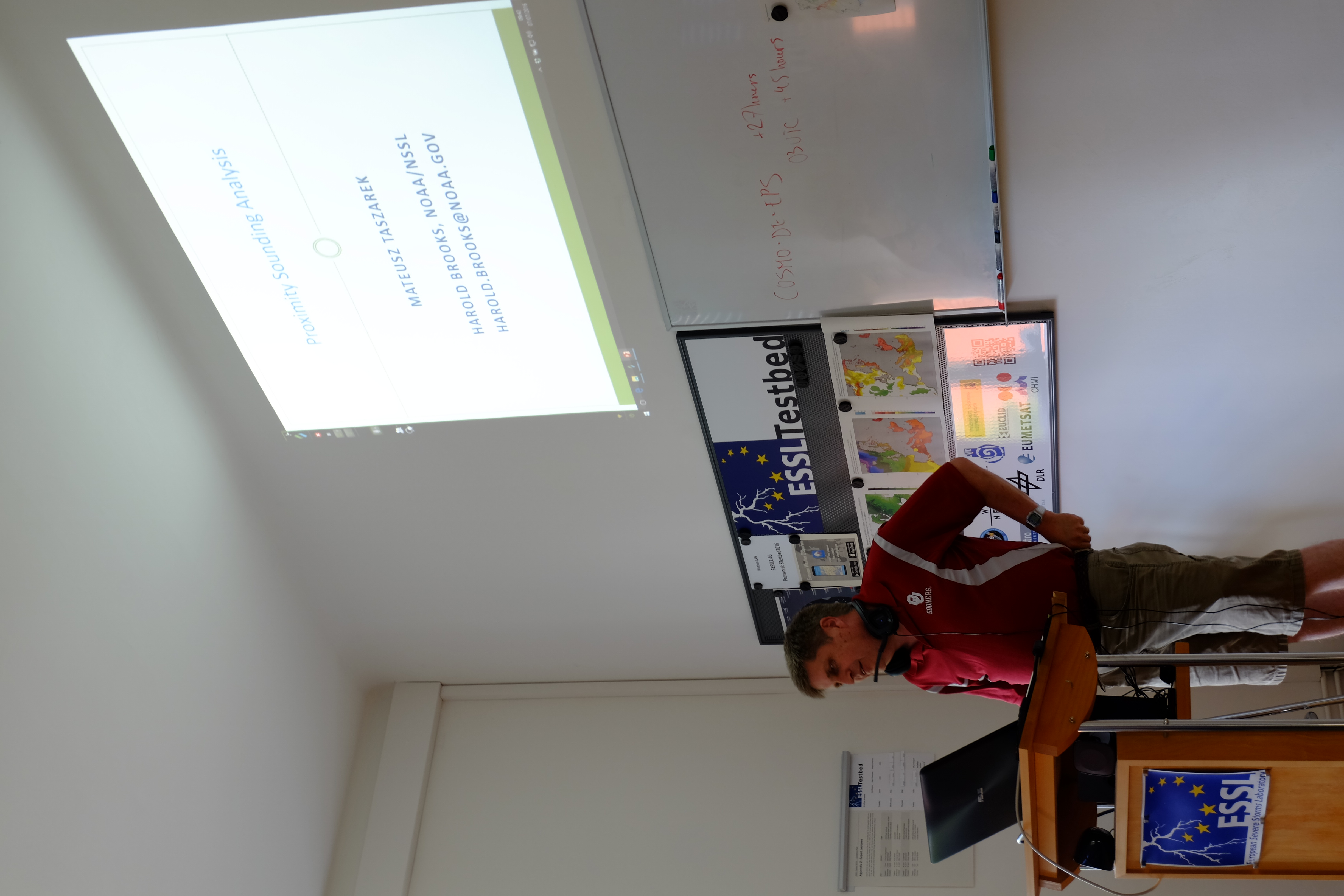
Harold Brooks then had a talk about ingredients of soundings, where it became obvious that especially the forecast of severe wind gusts is rather difficult. However, the hail threat for example is dictated mainly by CAPE but also for a lesser degree by shear. Many more interesting results were presented.The other part of the presentation was about verification and evaluation, where very interesting questions were raised, how and why verifications are needed.

DSCF1151

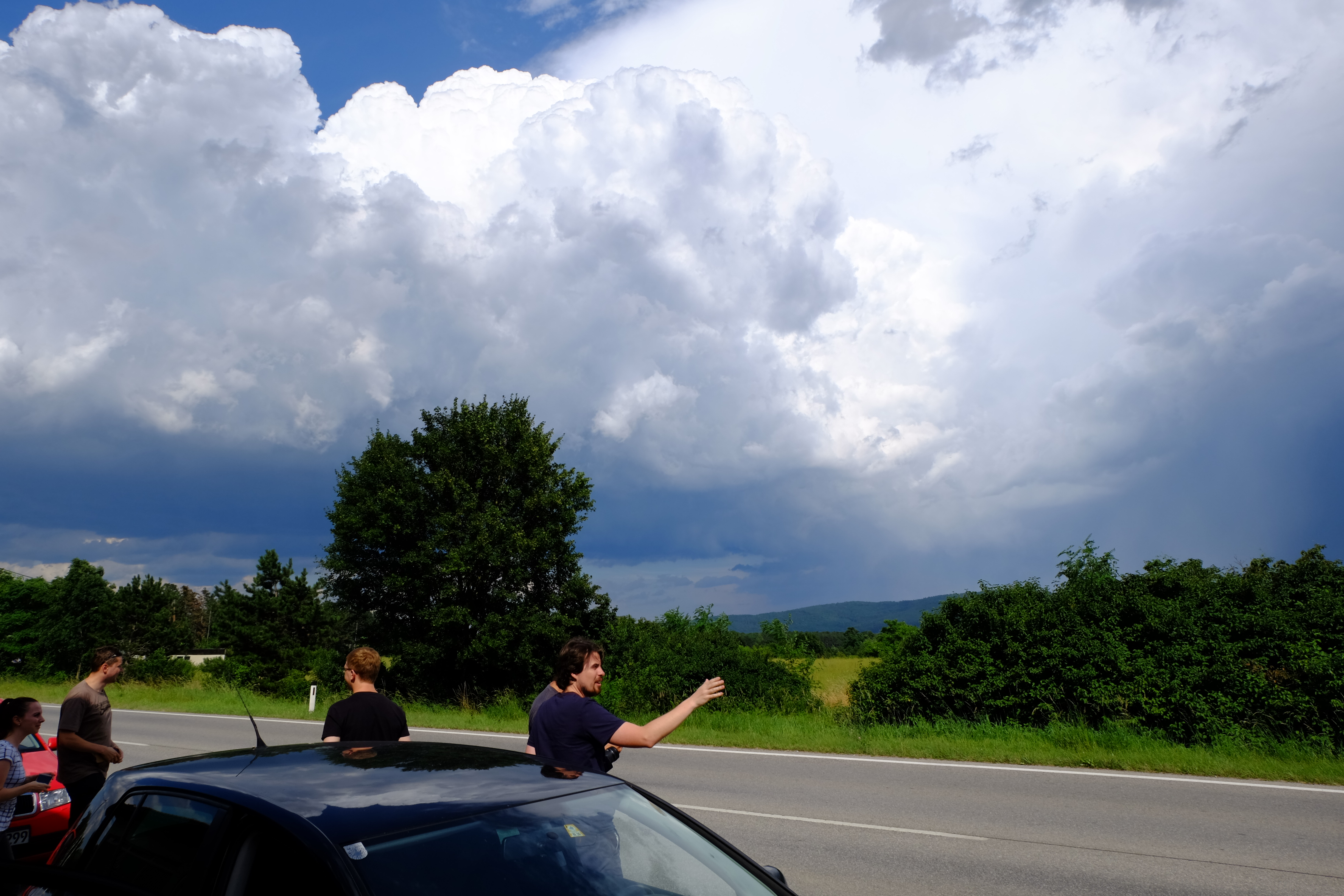
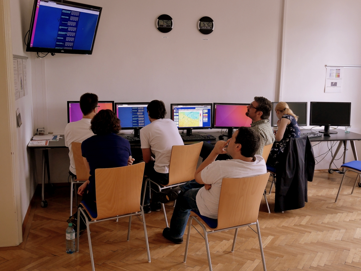
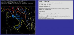
During the afternoon hours nowcasting was performed for SW Spain and Portugal, where stronger thunderstorms developed. The other group prepared Day 3 to 5 outlooks, which become increasingly more interesting regarding a more widespread risk for organized thunderstorms over parts of CNTRL Europe.  Sadly this activity will occur beyond our testbed week.


Share

Working in the field and the third day

On Tuesday, we had the chance to witness the development of a few thunderstorms next to Vienna Neustadt. During the nowcasting session it became obvious that numerous strong to severe thunderstorms would evolve over the mountains. They slowly moved off to the east/southeast and therefore passed just to the south of Vienna Neustadt. What could be better than verifying our forecast in real nature? Hence we took our cars and drove a few miles to the southwest of Vienna-Neustadt.

DSCF1117

There was a lot of discussions which storm to take and if the large hail risk, which was forecast by the Day 1 group, would verify (important for those who took their own cars for chasing ). We finally intercepted a severe storm which produced large hail with more than 3 cm in diameter to our west (ESWD report), before weakening. Still a strong downpour of rain occurred. Also, a small funnel cloud was observed in the outflow of that thunderstorm (along the base of the upper most cumulus cloud).

DSCF1133

In the end everyone was glad to see that forecast multicell convection verified.

Today on Wednesday, once again Day 1 and 2 outlooks were prepared by different groups. It already became obvious that the participants learned a lot as there were vivid discussions about the ingredients and where to place the lightning and level areas. Especially the group with the Day 1 forecast had a very complex pattern with various places to look at. However the Day 2 group also spent a lot of time in preparing the outlook for Spain (questions like the following one had to be answered: will the cap break, which model has the best handling on shear and instability and so on). In the end, both groups issued numerous level 1 areas and we’re already looking forward how they verify. In the following image, Mr. Herold presented the Day 1 forecast.

DSCF1139

We’re now starting the nowcasting session and we prepare the Day 3 to 5 outlooks. Let’s see what happens in that time frame …

Share

Preparing the first outlooks

On the second day of the final Testbed week, the participants worked on their first outlooks. During the morning/forenoon hours the outlooks of the Day1 and 2 periods were prepared. Overall, the best chance for severe storms was confined to the Alps and Poland for Day 1 due to the approach of a cold front from the west. Moderate shear/CAPE caused two level 1 areas. A similar result became visible for Day 2 with two level 1 areas displaced more to the south and southeast. Overall, participants tried to get a feeling about how to use the ingredient-forecasting method.

Afterwards a very interesting talk about lightning detection products was offered by Kathrin Wapler, including numerous case studies and statistics about various thunderstorm events. Within this talk remote sensing data was included like satellite and radar data but also reports from ESWD. So called lightning jumps (a sudden increase in lightning activity) often preceeds severe weather reports which could be useful for thunderstorm forecasts.

Finally during the afternoon hours, two groups used the afternoon hours to either prepare nowcast warnings or to work on Day 3-5 forecasts. In general no outbreak of severe thunderstorms is forecast. Nevertheless numerous regions of interest exist like over Spain and the Balearic Islands.

DSCF1114

Share

Start of the last testbed week

This week will be the last week for the testbed. A new group of participants have arrived in Wiener Neustadt and are looking forward to learning new techniques and working with new tools during this Testbed week.

On the first day, the participants listened to talks about convective storm types and ingredient based forecasting. After those talks it was time to get familiar with the testbed models and nowcast interface. The participants explored these aspects by doing a small exercise on a past situation, where numerous storms formed over parts of western- and central Europe. By analyzing these storms using nowcast and model data, participants got the opportunity to use all the tools available during the testbed, which they will be using the rest of the week to make forecasts.

IMG_20160704_170726

Knipsel

Share

Striking COSMO-E signal for 70 hour forecast

COSMO-E predicts a very high probability for extreme precip amounts in the Valais and Ticino area of southern Switzerland for Thursday late evening.

20160614 COSMO E 72_maxprecip12h

Maximum projection of all ensemble members showing maximum 12 h precip sums of locally more than 200 mm.

20160614 COSMO E 72_fracprecip12h

Point by point probability for rain sums larger than 70 mm: around 80 % in some places.

20160614 COSMO E 72_upsprecip12h

Fraction of members exceeding the threshold of 70 mm in a 40 by 40 km square. Nearly all members for this timestep predict excessive rainfall in south-central Switzerland.

Share

End of the first successful testbed week

On the last day of the testbed we again started with the verification of the last day, followed by an outlook for Day1 and Day2.

The participants of the group that forecasted the Day1 outlook decided two choose the western domain at least for two main reasons. A sharp short wave trough passing France during the day looks by far more dynamic than the storms that will for sure fire up over parts of Italy and the Balkan Peninsula. And second: The European Championship will start this evening in Paris.

Bild19

Downstream of an amplified short wave trough, southwesterly flow led to an advection of warm airmasses into France. Initially a lack of low level humidity was found due to the foehn winds from the Pyrenees. But corresponding to the short wave trough also a maximum of humidity is advected into Southern and Southwestern France later on. This will partly overlap with higher lapse rates downstream. That raises the possibility for at least a few hundred J/kg of CAPE. Lift is provided both by the approaching short wave trough and a well-defined surface convergence zone, respectively.

Day1-Outlook_4

What brought us to the decision of issuing a LVL1 for the area of interest was the overlap of a high likeliness of storms and DLS values of 15 to 20 m/s.

During the night this risk diminishes due to the diurnal cycle as well as a reduction of the amplitude of the trough not staying as pronounced as before.

The second group decided to choose the eastern domain which already is and will be influenced also on Day2 by a strong trough with a corresponding surface low. The highest values of BL moisture can be found in a narrow band along the cold front. Having lapse rates between 6 to 6.5 K/km the combination with humidity is forecasted to result in a few hundreds of J/kg of MLCAPE. At the same time DLS is predicted to be very high with up to 30 m/s. However, initiation is a bit questionable but wherever storms may fire up they have an enhanced threat for severe weather.

Bild22

Day2-Outlook_4Bild21

After forecasting and the online presentation of the results the testbed groups had another evaluation of the products. As an example we were looking on a case of 27th of May concerning storms over Southern Germany at 16 UTC. It is visible that several products really gave a good hint for severe weather that finally was reported with the large hail events that are visible in the images.

RotationTrack_160527_16 VILTrack_160527_16 Radar+Hail_160527_1600

It is Friday and so the first testbed week ends. All participants were leaving us happy and satisfied and we had a great time with really enthusiastic participants. Having a look to the upcoming testbed week it seems that a high-end weather situation will be present especially during the second half of the week. So… really looking forward.

Bild20

TEstbedWeek1

Share

Area of interest is shifting to the south

It is the third day of forecasting and the area of interest has shifted from Central and Western Europe to Italy and the Balkan area. Therefore the participants concentrated their Day1 and Day2 outlook to the southern domain.

Bild14

Bild15

Concerning Day 1:Short wave features influence most parts of the southern domain which are one of the trigger mechanism for today. Quite high values of moisture could be find especially near the coastlines of Italy and Croatia as well as Greece, whereas lapse rates were best more inland. Looking on the streamlines and 10 m convergence several regions could be find where onshore flow and converging streamlines should enhance the threat for excessive precipitation. Local models have shown quite high amounts of rain. Having only low values of DLS not much organization is expected, so hail and wind should not be that pronounced. The overall threat moves from Italy during the day until Croatia and Greece during the evening and night. The strongest signals for excessive precipitation due to convergent onshore flow and a visible mid level low were encircled with a LVL2 area.

Day1-Outlook_3

We had vivid discussions concerning the concrete placement of the high lightning probabability and LV1/LVL2. This reflects also the uncertainty that exists with the outlook.

For Day2 the area of interest is almost the same. Italy and Croatia as well as Greece are the areas of interest. Again features of the trough should be the source for lift on that day. For Adriatic west-coast conditions seem to be better (moisture, lapse rates and upslope wind) so a LVL1 was issued.

In todays online session Rich Thompson had a quite interesting presentation about storm modes.

Bild17

Bild18

Compared to yesterdays Day2 outlook this afternoon and evening seems to become much more interesting. After finishing the evaluation of lightning density and rotation tracks the teams will proceed with either Day3 to 5 outlook or Nowcasting of the area of interest.

Bild16

Day2-Outlook_3

Looking forward to an exciting afternoon session.


Share

Verification and Forecasting

Todays forecast session started with a verification of the Outlooks and Mesoscale Discussions of the day before. The 50% thunderstorm line of the Day1 outlook was quite well placed. It covered almost all the thunderstorm activity. Concerning the LVL2, many reports reached the ESWD database, whereas the most prominent was excessive precipitation. This was true for central and northern parts of the LVL2 while for the southern region only a few reports arrived until now. So it may happen that it finally will not verify.

VerificationDay1

LVL1 and LVL2 should have been extended more to the  northeast to also cover  the excessive rain events in the Ruhr area. The reason that it was not done is probably that it was right at the edge of the domain and the team concentrated more on Northeastern France and Belgium.

What was interesting: One nowcasting team issued a mesoscale discussion for Northern Germany also with the probability of tornadoes It finally happened that indeed a tornado occurred that led to a case of emergency in eastern parts of Hamburg. So it was quite a good discussion.

NowcastVerific

The tornado was probably a non-supercellular one, given low wind velocities in upper levels and a strong convergence in the surface flow. Also no rotation tracks or mesocyclone detections have been found.

Situation1

It was quite interesting that NowcastMix was able to cover both, the severe rainfall event over the Ruhr area as well as the tornadic storm near Hamburg. In both cases an extreme severe weather warning was shown.

NowcastMix2NowcastMix

After the verification the two teams prepared an outlook for Day1 and Day2, respectively. Today it was much more difficult as the day before. Concerning Day1 many clouds and even precipitation was present in the morning hours. So it was quite questionable if the atmosphere may recover troughout the day. Eventually, only a LVL1 was issued. Concerning day 2 no LVL area has been issued at all, due to the many uncertainties. However it might become neccasary that one LVL1 is needed when looking on the data tomorrow … especially  concerning the Tuscany area which shows quite a good low level convergence.

Day2-Outlook_2Day1-Outlook_2

Looking forward for the afternoon session and what indeed will happen in the area of interest.

Bild11 Bild12 Bild13 Bild10

Share