End of participant phase

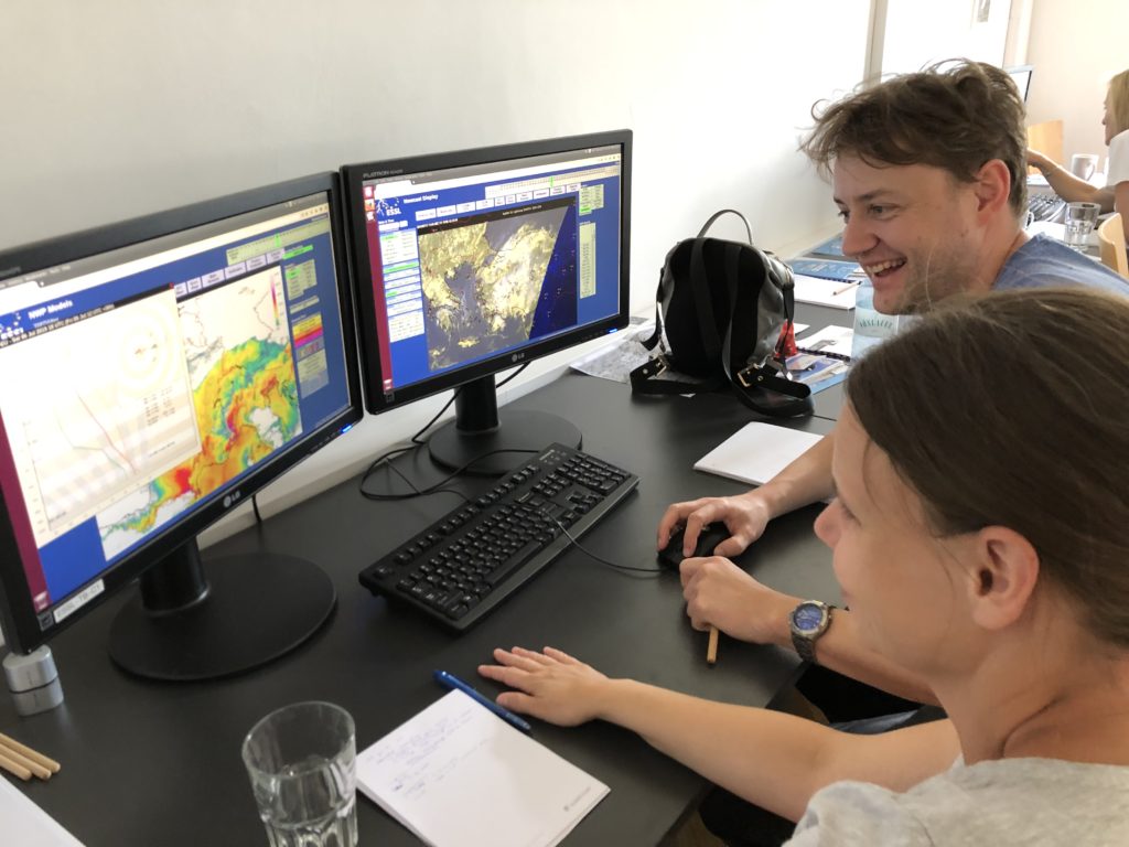
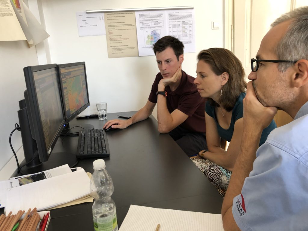
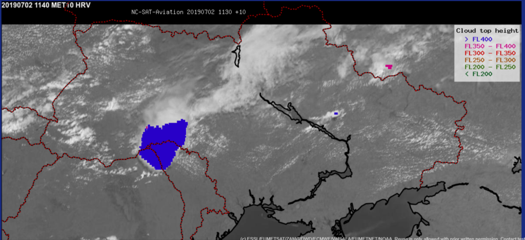
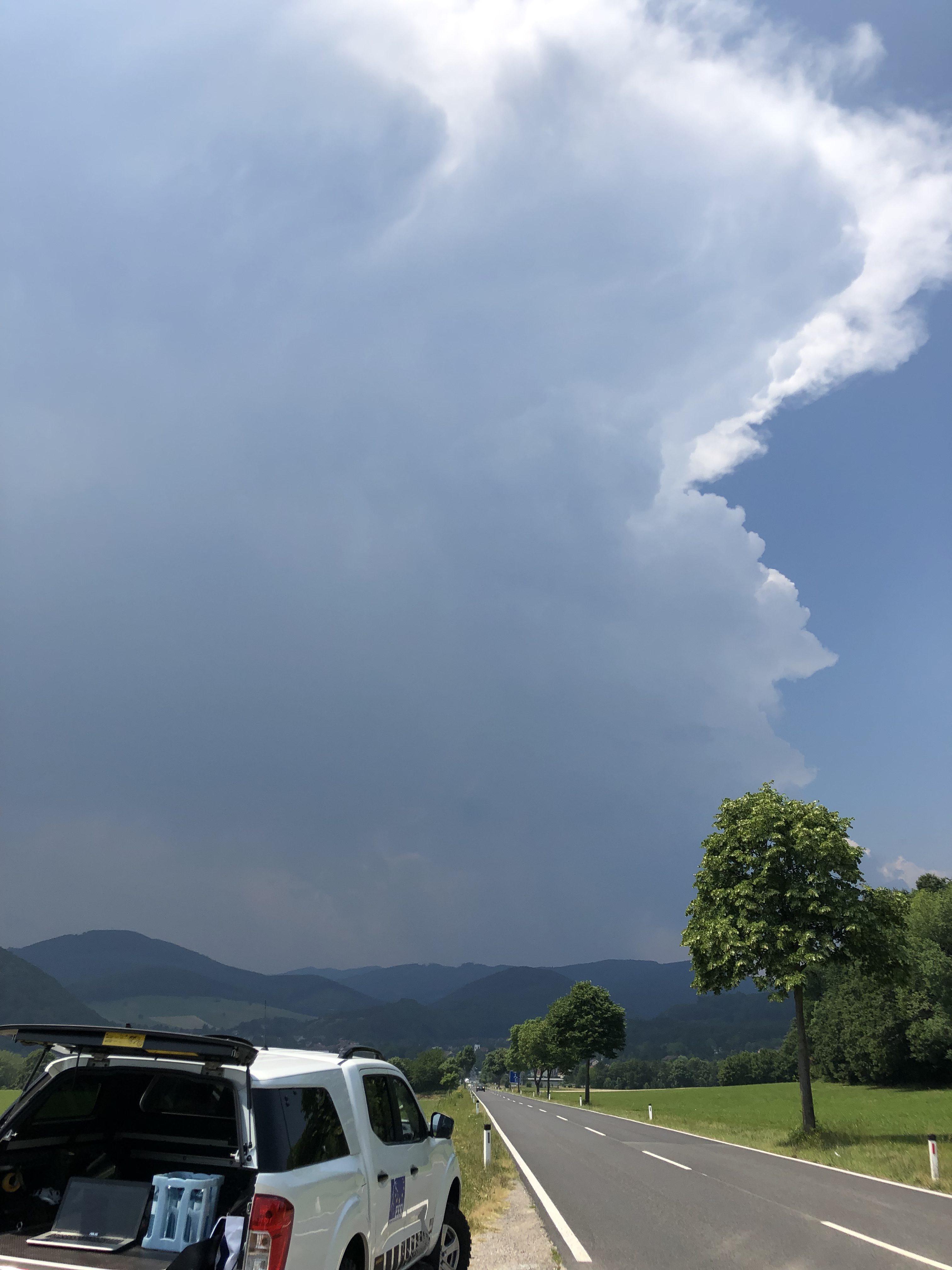
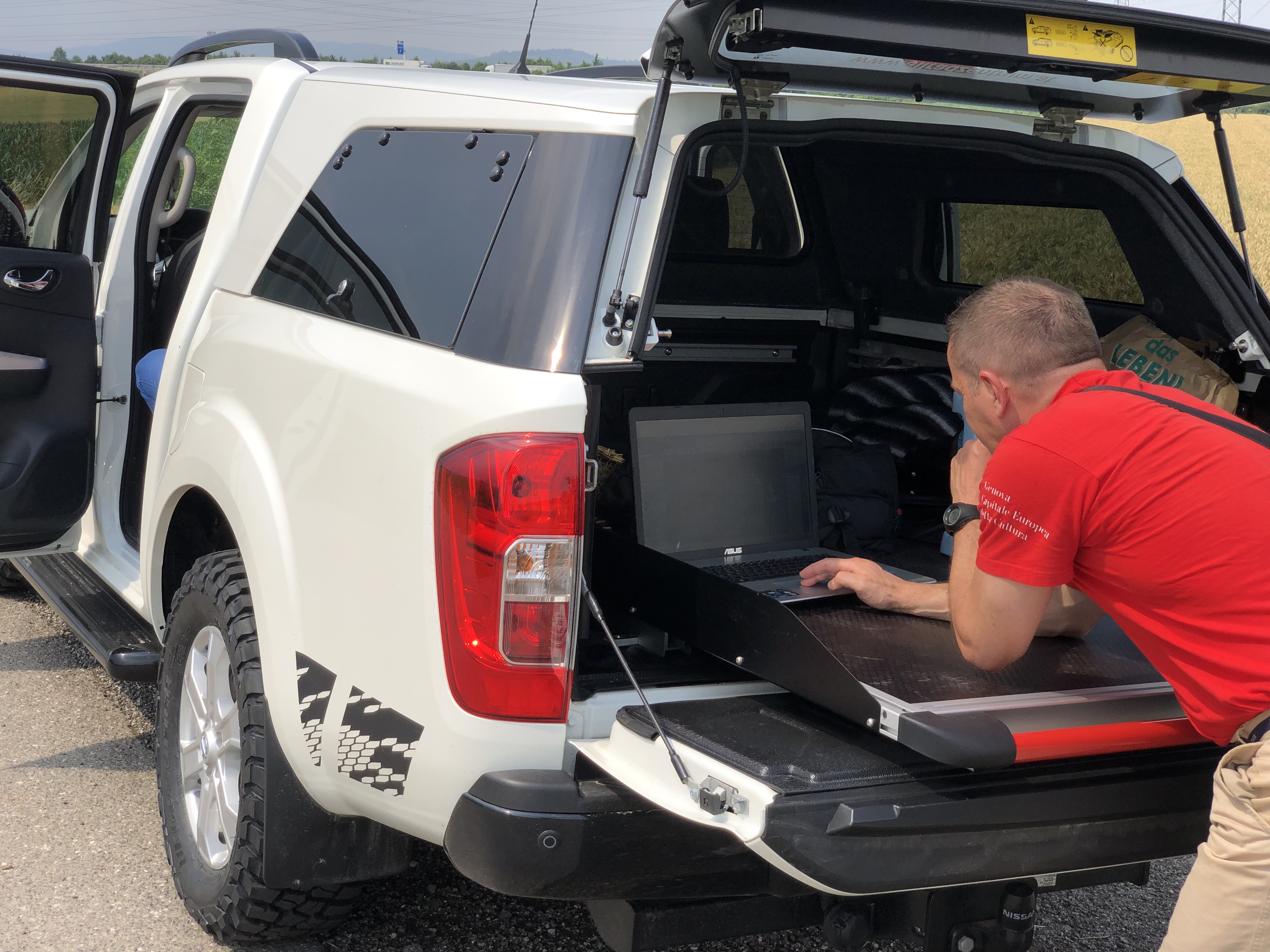
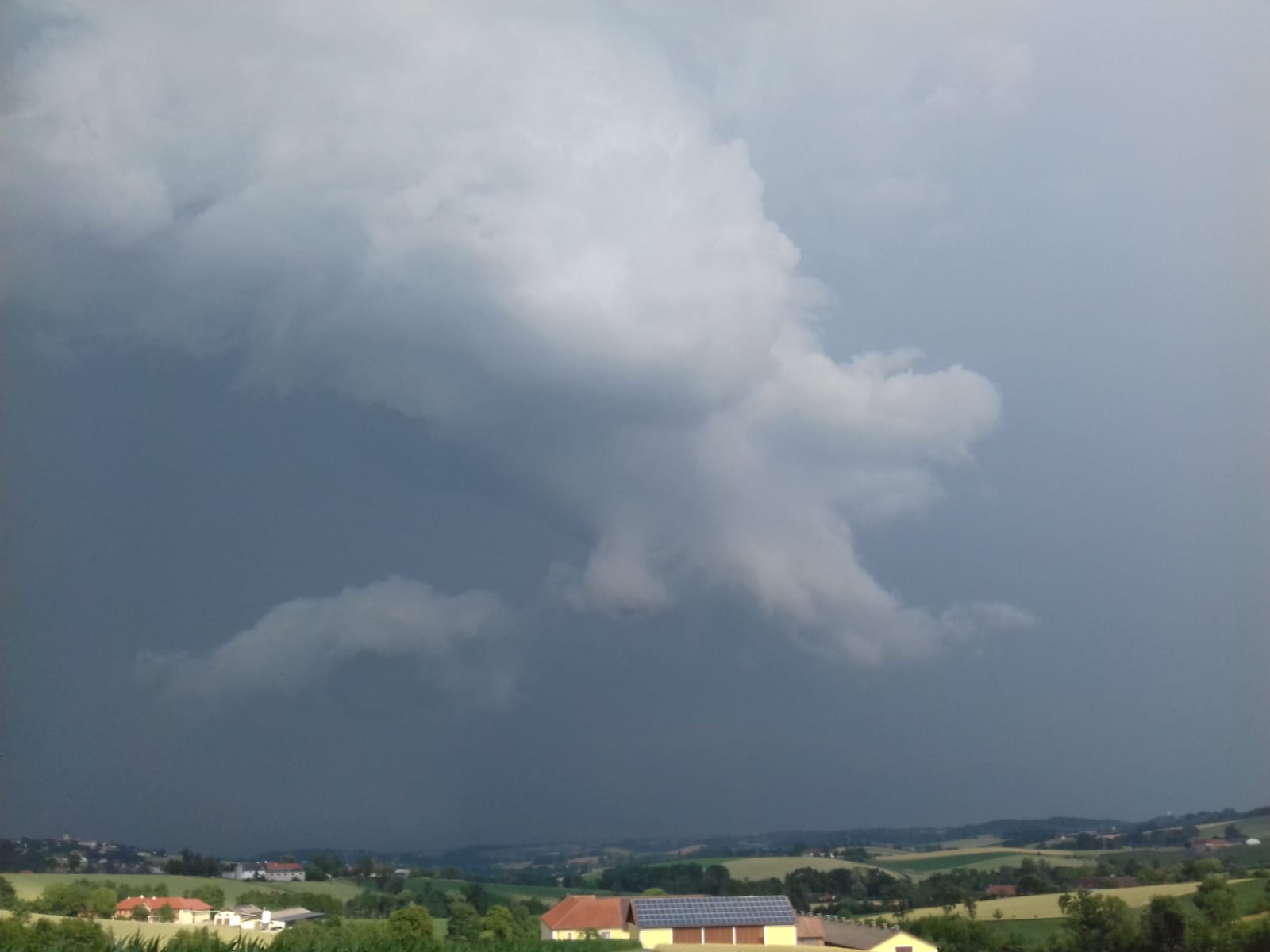
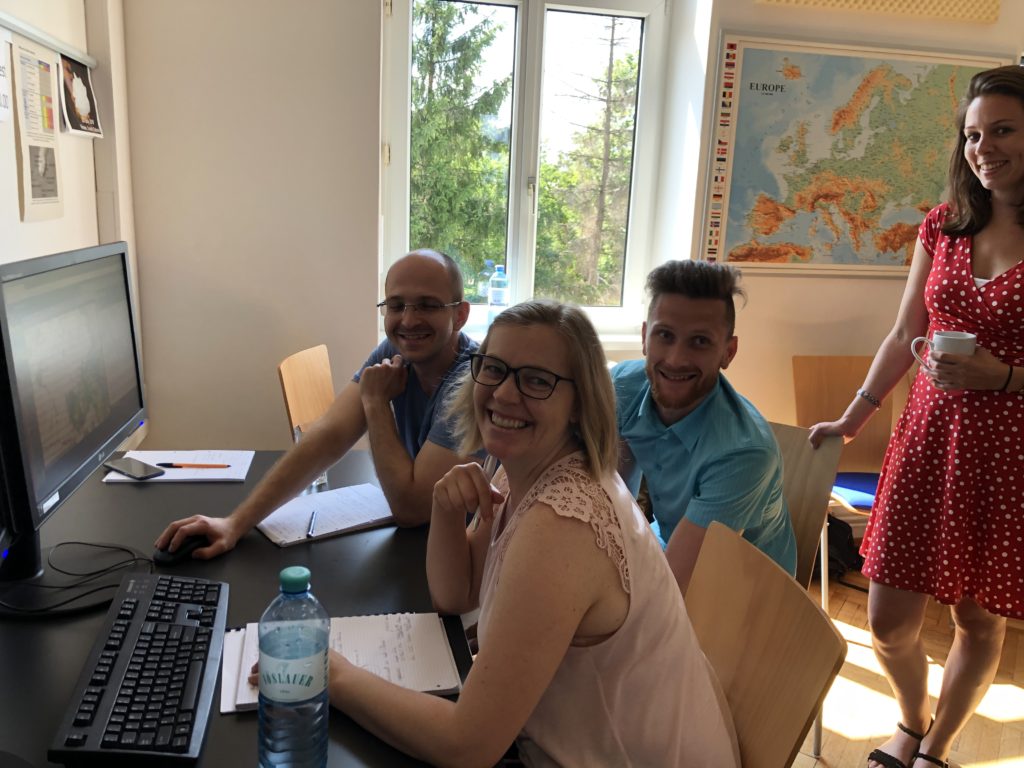
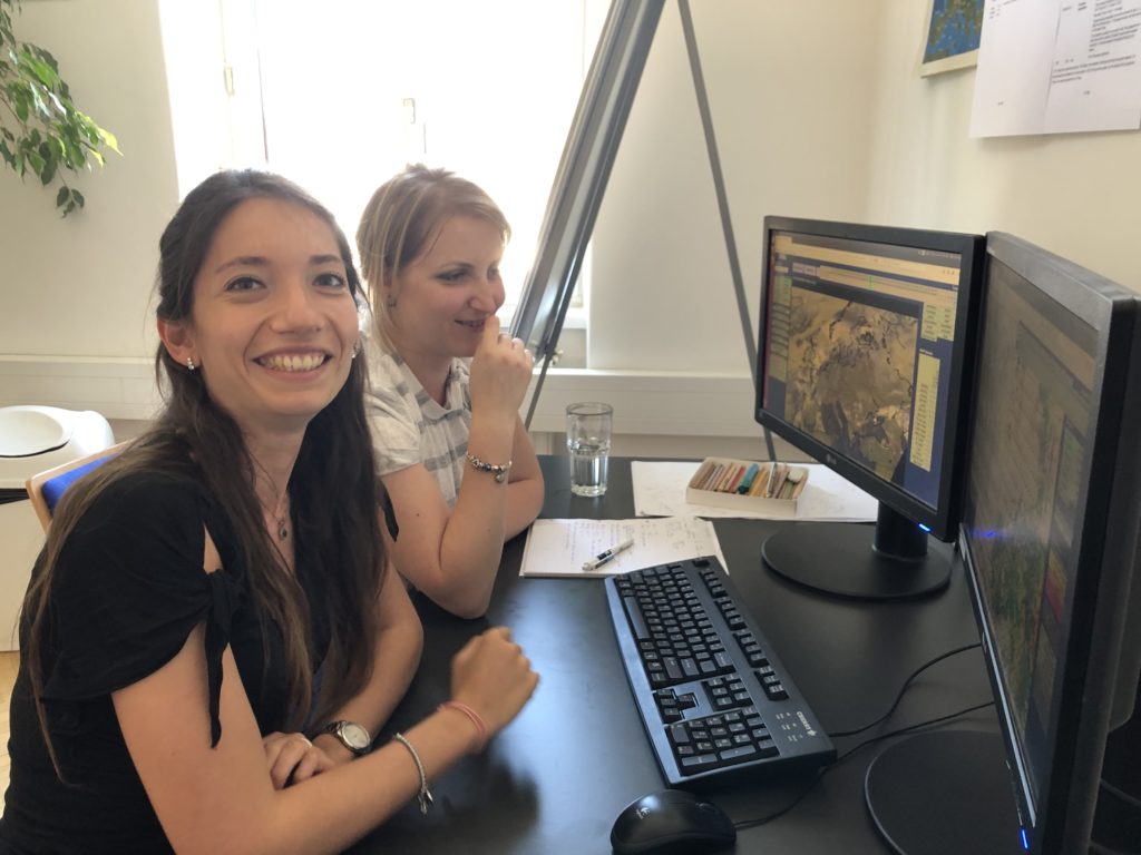
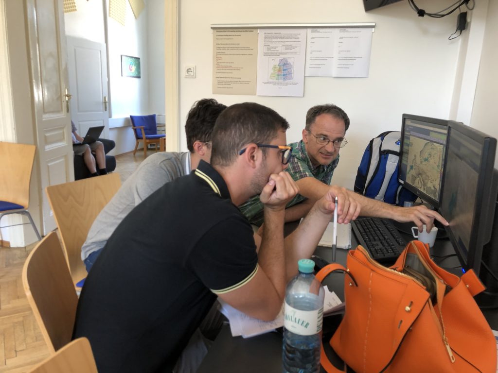
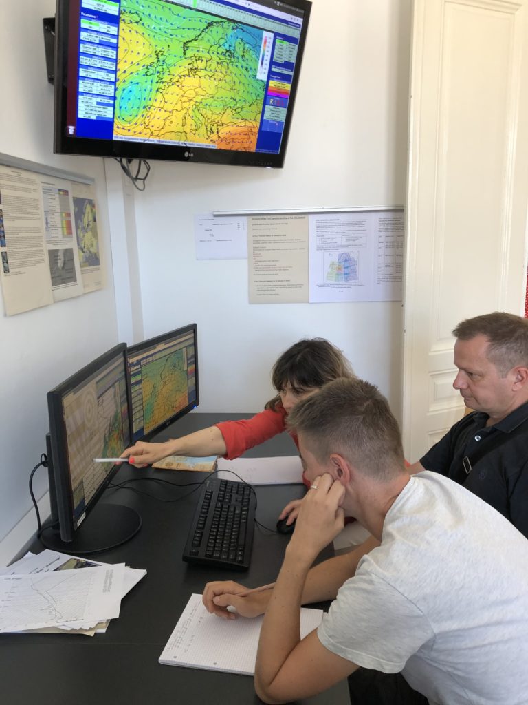
Today was the last day of the participant phase of the ESSL Testbed 2019. It was a very successfull one with a high number of participants and high-quality feedback collected. Now the testbed team will start to analyze the feedback and finally will condense the information into reports for our partners.

In 2020 we will organize the 9th edition of the ESSL Testbed, which already became a known regular activity for both developers and forecasters.

Registration for 2020 is herewith open. We advise to register soon, not only to qualify for reduced rates, but also to secure a fixed place in a preferred week. Last year and this year some of the weeks were booked out quite early.

ESSL Testbed 2020 Registration Page

Share

Exploring the new capabilities of hyperspectral sounders

The EUMETSAT MTG will open a new universe in routine satellite data. But already now we can test how the future capabilities can be exploited for severe storms forecasting and nowcasting.

One of the most promising new data streams will be hyperspectral sounder data translated into vertical temperature and moisture profiles. At the ESSL Testbed we are one of the first users of such data.

First examples show that in a number of cases the substantial increase of vertical temperature and moisture information can strongly support detection of areas where instability and/or moisture are more or less favourable for severe convection, compared to pure model data. On the other hand in single cases the provided temperature and moisture profiles also showed significant departures from measured surface data, resulting in misleading information.

Feedback from the ESSL Testbed can for example help to optimize training datasets (important for the translation from the raw sounder data into vertical profiles), especially in situations relevant for severe convective storms.

Screenshot example for east domain of ESSL Testbed data display with field MLCAPE100hPa for 16 July 2019 at 9 UTC: ECMWF IFS field in colour shading (background), EUMETSAT hyperspectral sounder data in dotted colours (foreground). Note differences for example over south-central Ukraine and over Black Sea.
Share

Harmonization of CAPE model output

Both ECMWF and ESSL have an interest in fostering global harmonization of the way CAPE is calculated in different models and also what different types are finally made available for subsequent users – human forecasters being an important group of.

Therefore at the ESSL Testbed we are testing different new approaches this year, alongside of the current operational CAPE and CIN output of ECMWF (with its known limitations).

This week Ivan Tsonevski from ECMWF is present on site at the ESSL Testbed. He stresses that the user feedback collected at the testbed will be very important for decisions on the future selection of operational CAPE and CIN parameters at the ECMWF.

Groups of forecasters and developers discussing aspects of different CAPE approaches at the expert week of the ESSL Testbed 2019
Share

Testing of Nowcast-SAT Aviation

This year at the ESSL Testbed we are testing an improved version of the Nowcast-SAT Aviation product. The developers at DWD took recommendations that came out of the testbed in 2018 into account, like a colour shading according to the hight of cloud tops in flight levels. We are interested to see how well the new version will perform.

Nowcast SAT Aviation product example from DWD.
Blue colour shading denotes areas above FL400, magenta between FL350 and FL400.
Share

Busy mobile nowcasting

If weather around our testbed site is promising enough it is foreseen that participants can opt in for an afternoon mobile nowcasting session. It means that the regular programme at the testbed venue continues as usual, but in addition one or two teams in cars will drive to the storms, discuss the visual observations and issue nowcasts via our laptops.

Today 8 nowcasts were issued including 4 from the two mobile teams, which is in total a quite high output. Here are a few impressions:

Share

Testing of ECMWF CAPE fields

In connection to a project with the ECMWF, this year at the ESSL Testbed, different approaches for CAPE calculations are offered in the testbed data display:

It means that in addition to the standard CAPE – which is provided by ECMWF operationally – we try to compare with the usability of other approaches, namely with a mixed layer CAPE of the lowest 50 or 100 hPa alternatively, the surface parcel CAPE and the most unstable CAPE for situations of elevated CAPE, which does not show up in calculations that use close-to-surface parcels. In addition a combined plot is offered that displays both mixed layer and most unstable CAPE in combined colour shaded and colour contour plot.

ML/MUCAPE plot with elevated CAPE displayed in coloured contours over the North Sea, while mixed layer (lowest 50 hPa) CAPE is most prominently visible over eastern Germany.
Share

Close to perfect day 2 forecast for yesterday

Monday’s and also yesterday’s forecasting teams at the ESSL Testbed did an amazing job by forecasting the severe weather threat over the region stretching from northern France to the northern parts of the Netherlands.

A level 2 was issued, and according to the current amount of severe weather reports entered into the ESWD it can already be said that the forecasts verified very well. A subjectively nearly perfect forecast was the day 2 forecast issued on Monday:

Share