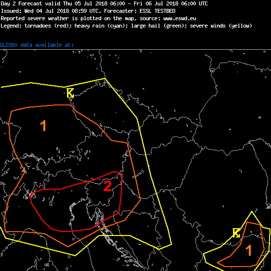
Participants are closely monitoring the “high CAPE, high shear – situation” over parts of western Europe. Testbed forecasts calling for a level 2 in the period until tomorrow 6 UTC.
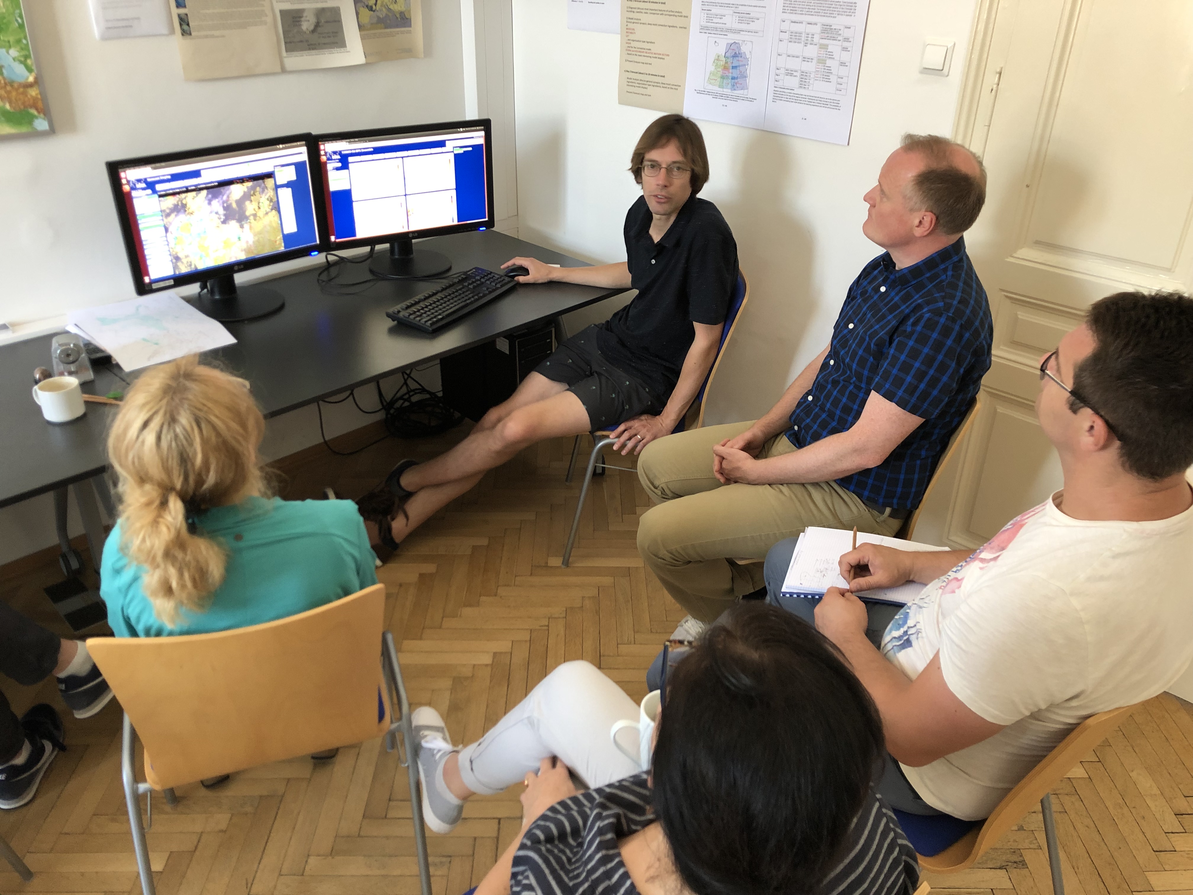
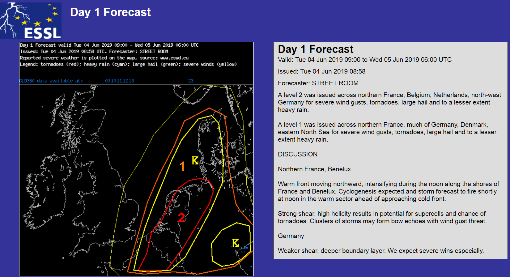

Western Europe and also the Danube delta region close to the Black Sea are some of the hotspots for the first testbed forecasts. This time we start with redesigned model maps and an improved roaming sounding tool, to name just two of the enhancements at the ESSL Testbed this year.
CAPE and shear overlap in the Danube delta region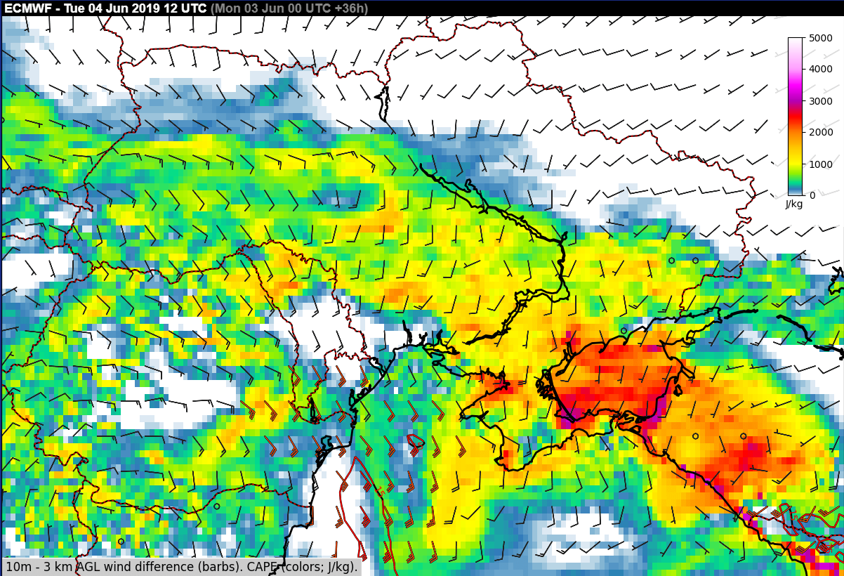
Welcome to the participants of the first testbed week, from Slovakia, Poland, Bulgaria, Cyprus, Croatia, the Netherlands, Germany, and Austria.
The height of convective cloud tops is not only interesting for aviation, but also for case studies of severe storms and of course for nowcasting.
A case of yesterday showed the eyepicking nature of an alternative colour scale for a severe storm near Zaragoza in Spain with tops between 15 and 16 km of height (see magenta pixel). A positive reaction to this display was also received on Twitter.
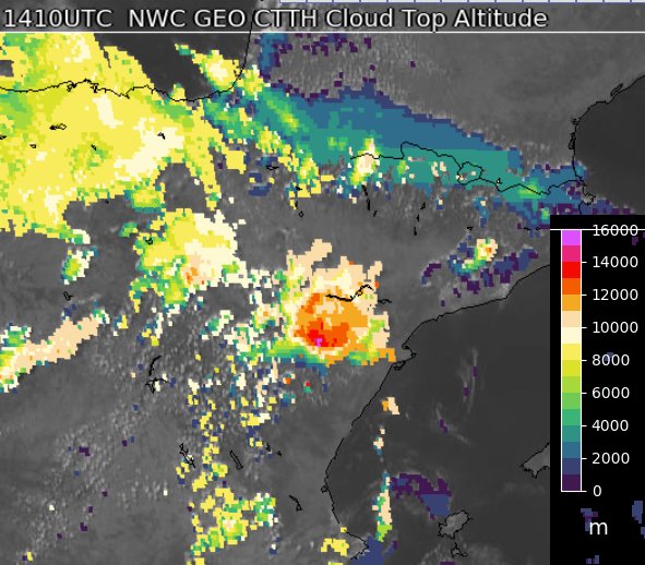
NWC-SAF cloud top height product with alternative colour scale being tested at the ESSL Testbed
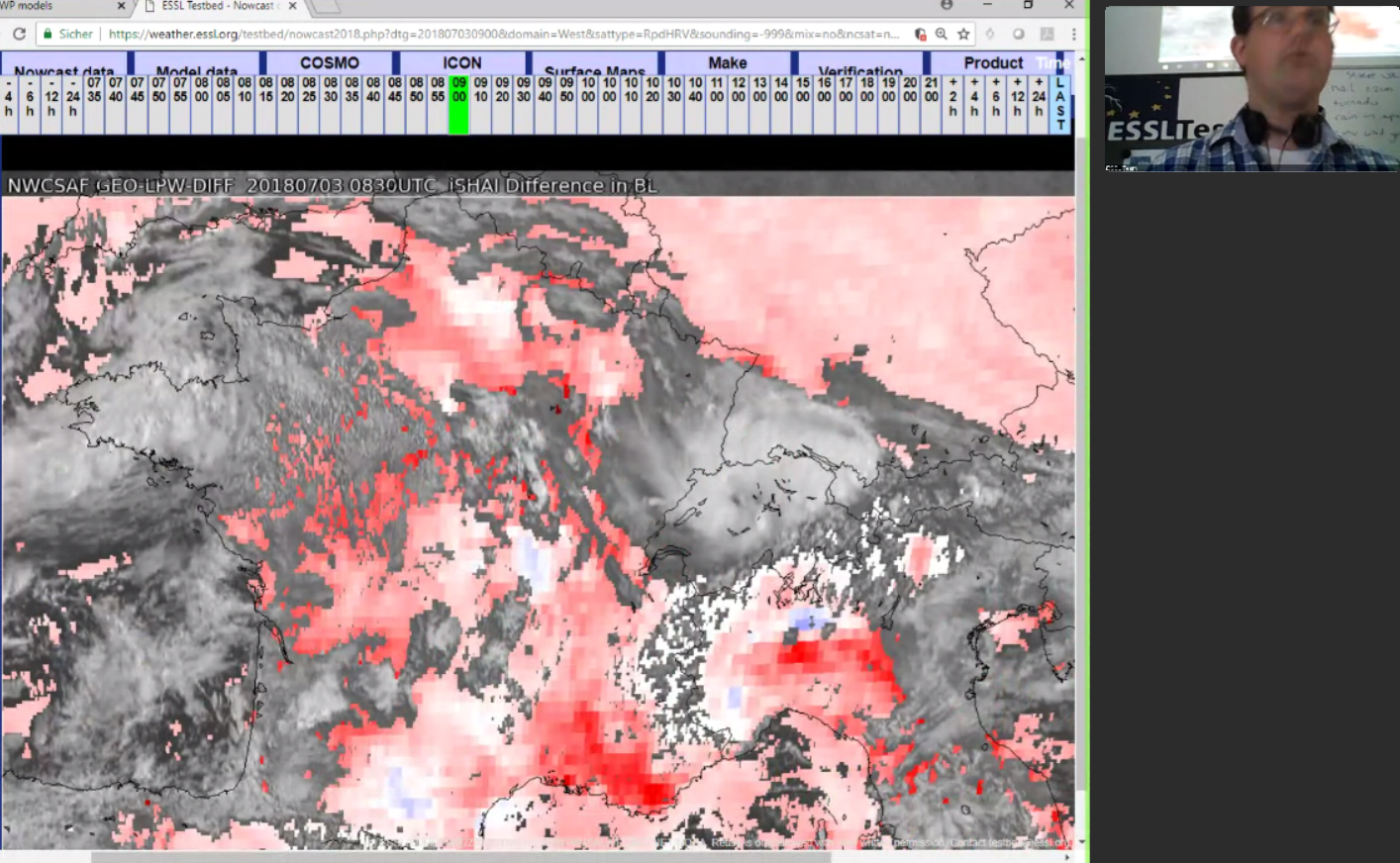
For the day 1 forecast group it is important to compare model output moisture with recent observations from different sources, like surface obs, soundings or satellite retrievals. On the following photo the precipitable water for the lower troposphere is watched by the ESSL Testbed participants (and there is also a difference-to-model product available this year):
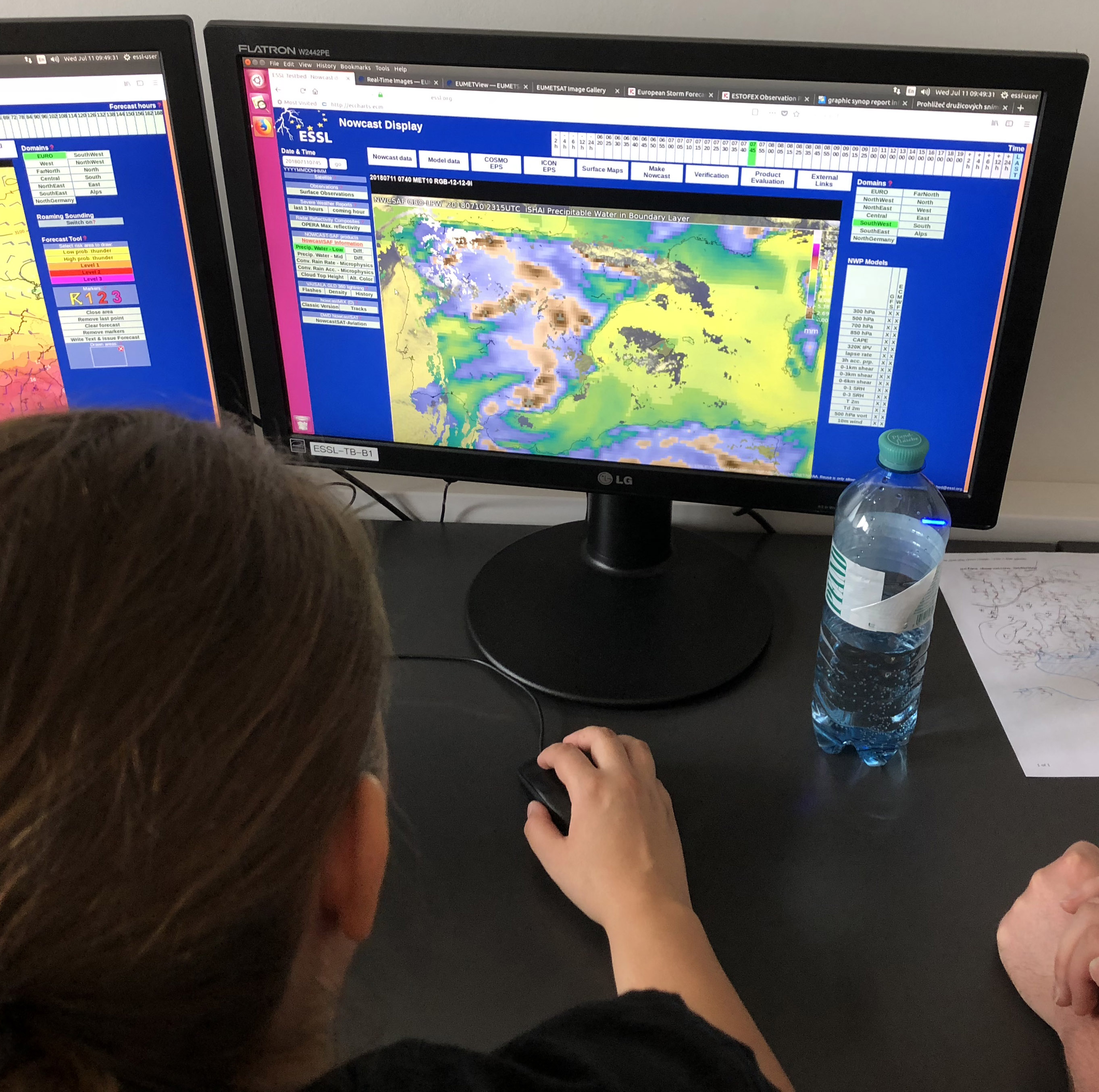
EUMETSAT NWC-SAF PW low layer product used for day 1 forecast
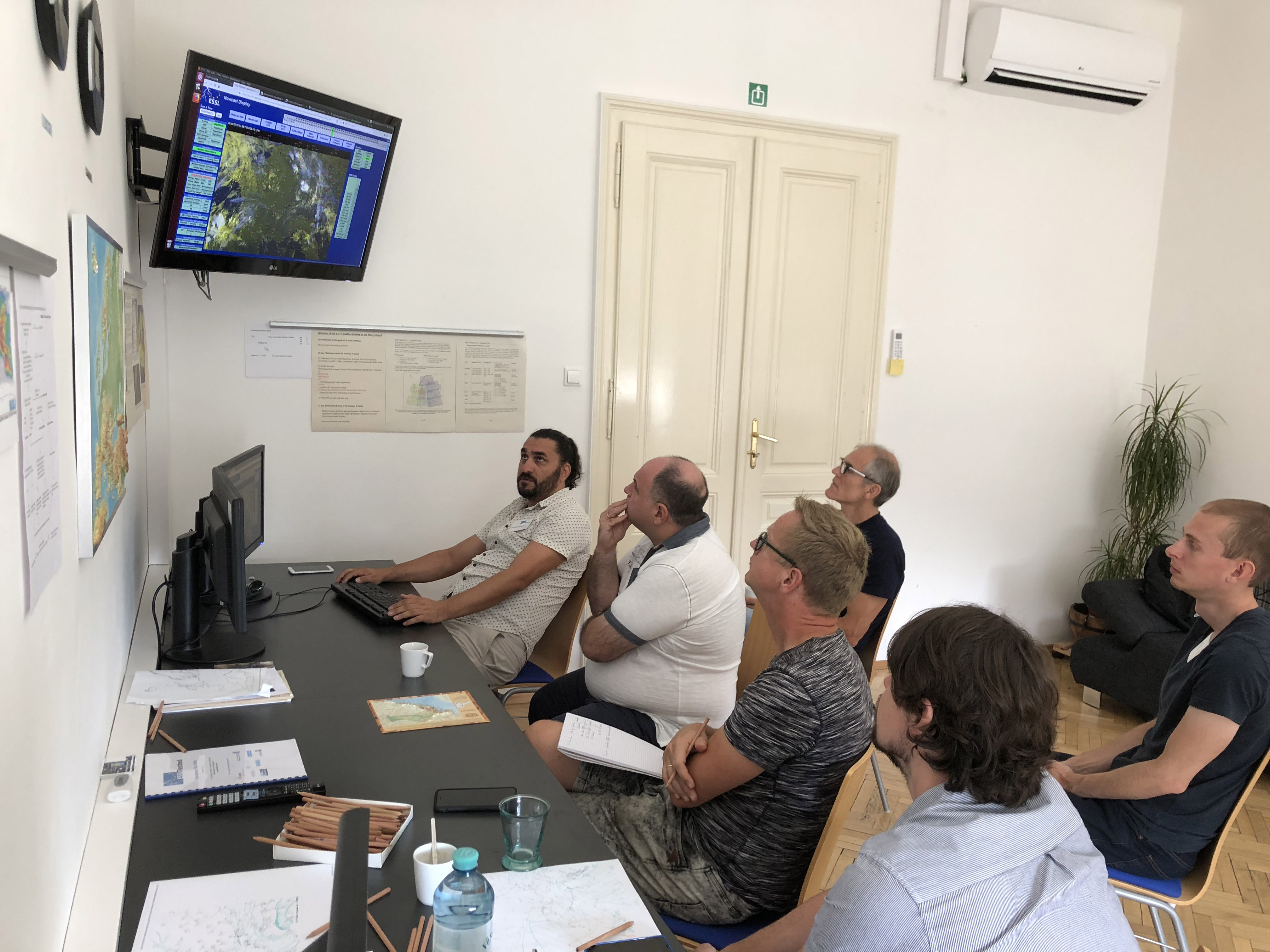
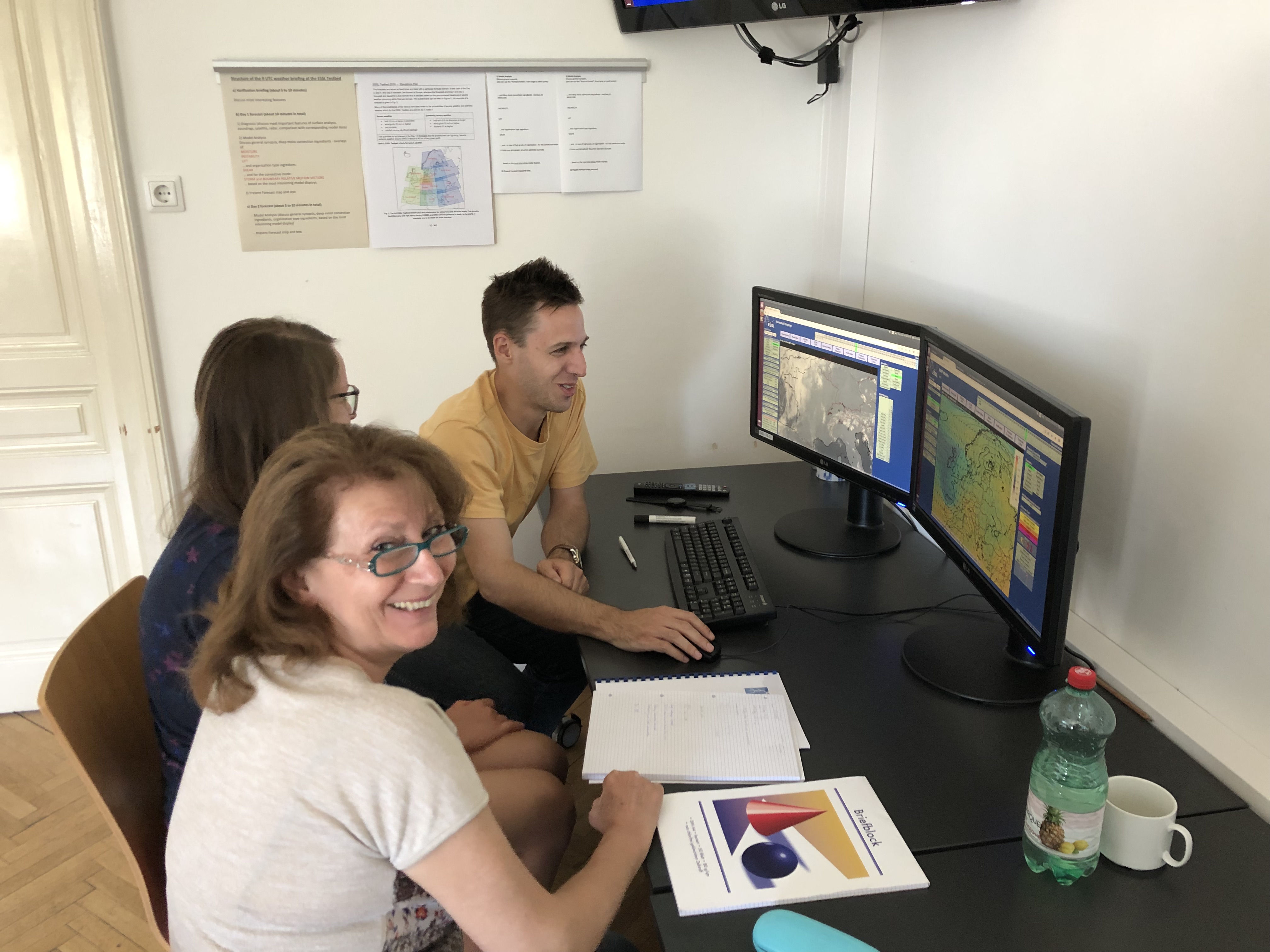
Focused model studies (including model soundings) in the day 2 forecast group this morning:
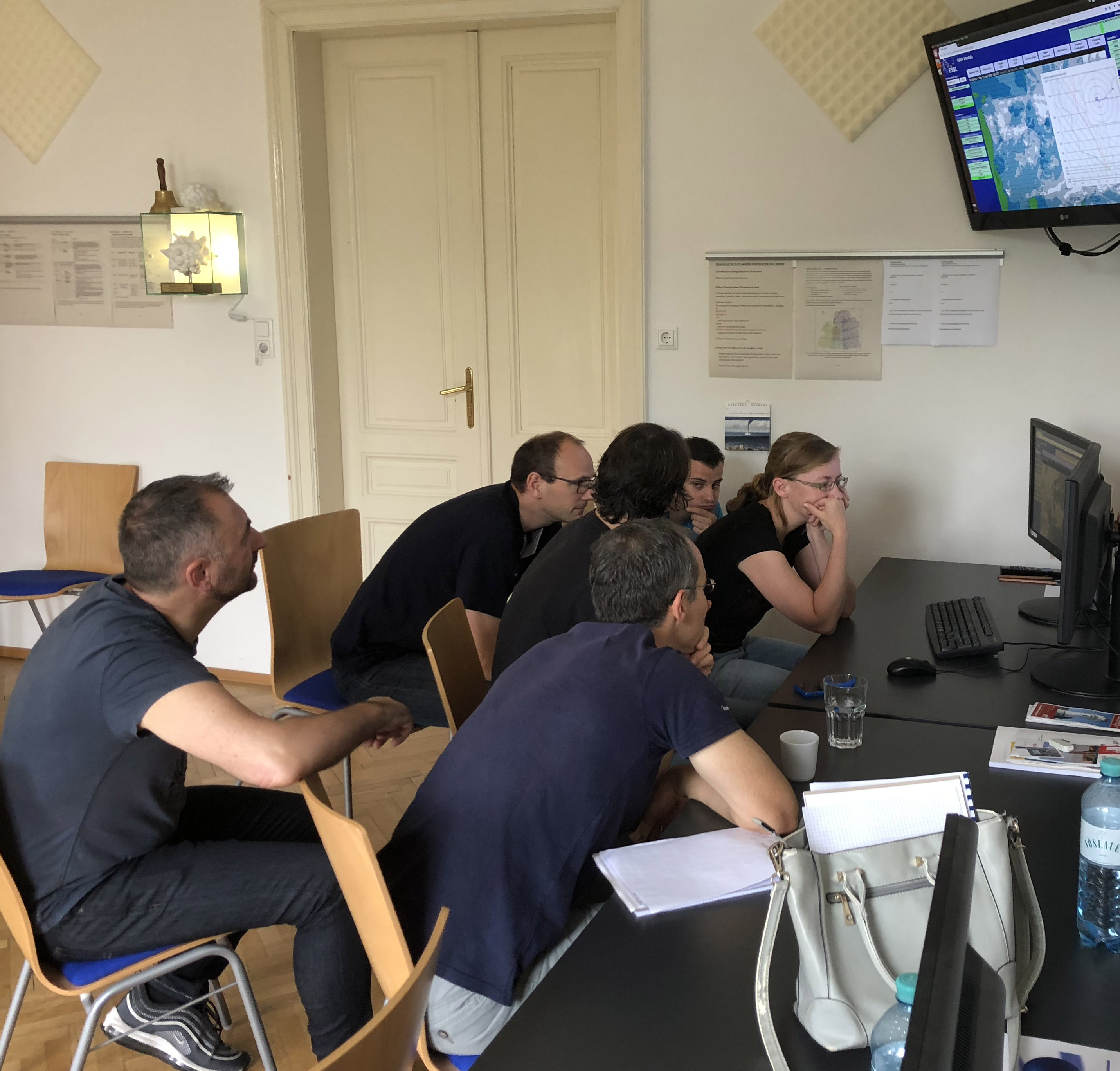
Very concentrated work at 8 UTC today
During the afternoon one of the forecast groups typically works on the day 3 – 5 forecast, also today:
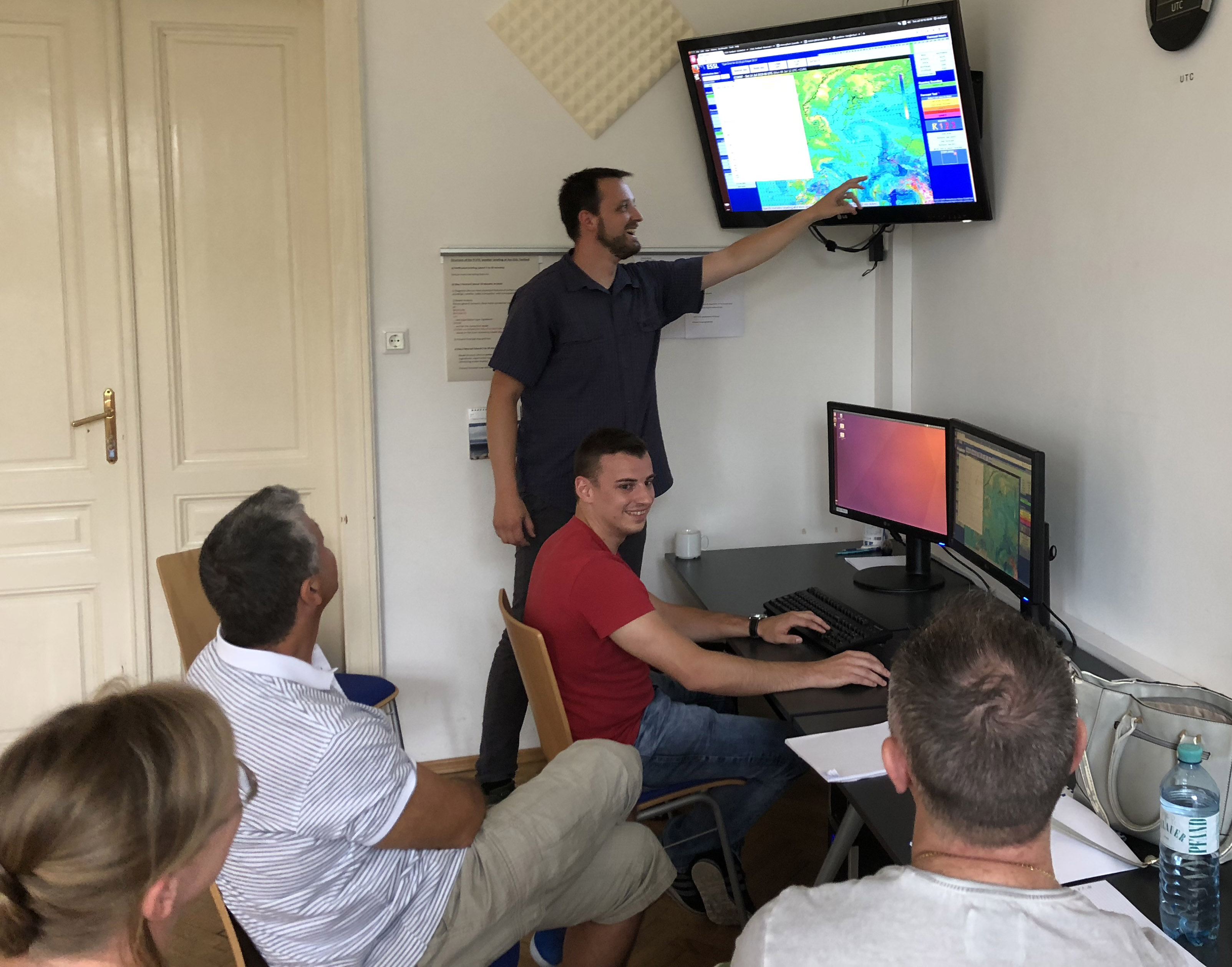
This week Helge Tuschy from DWD (standing in front of the screen, also active on ESTOFEX) supports the ESSL team at the testbed in steering one of the forecast groups.
Example for a day 5 forecast (issued on Tue last week):
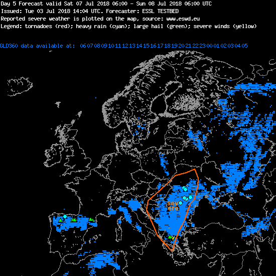
Day 5 forecast with verification (lighning density in blue, ESWD severe weather reports: symbols). The southeastern severe weather area verified quite well, while hailstorms over northern Spain were not forecast 5 days in advance.
We proudly present the following programme for the fourth ESSL Testbed week:
Presentation by Helge Tuschy: Hodographs
Presentation by Ulrich Blahak: COSMO-D2(-EPS) system
Presentation by August Thomas: Hyperspectral sounders (EUMETSAT)
Everyone interested can join online via the BlueJeans smartphone app or on your computer via https://bluejeans.com/720241930
Follow us, and don’t be shy, you can ask questions also online!
Today’s expert lecture was given by Abdullah Kahraman from Samsun University in Turkey on the topic of severe storms climatology: extremely large hail for example has been observed several times in Turkey.
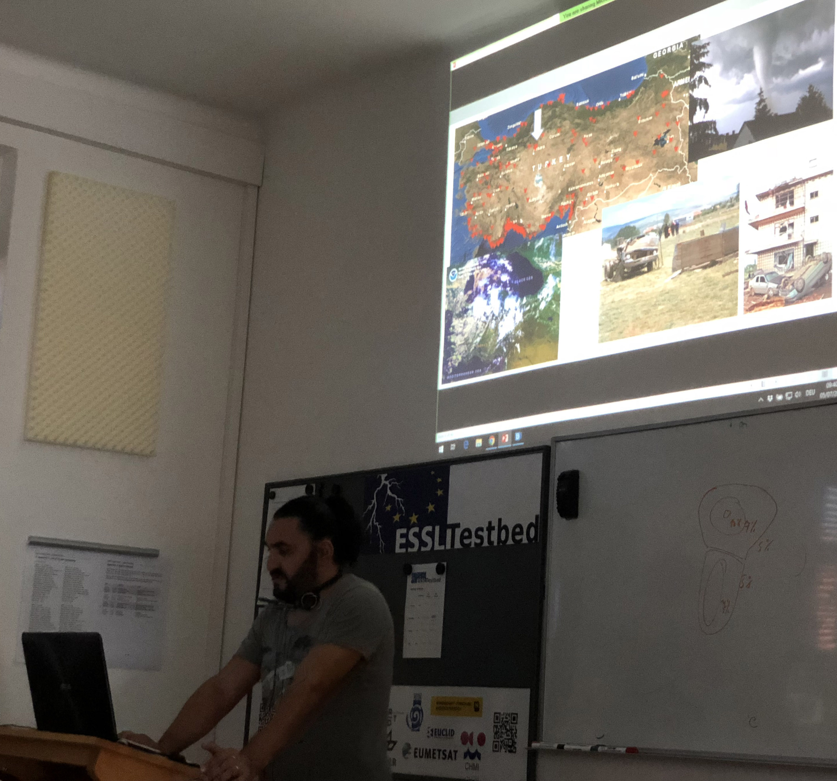
Abdullah Kahraman at the ESSL Testbed on severe storms climatology for Turkey
During lunch Testbed participants could see how well the COSMO-2 was able to predict the local initiation of storms in this case. At the end we had to rush back to the office because of approaching thunder.