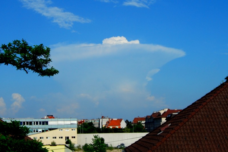
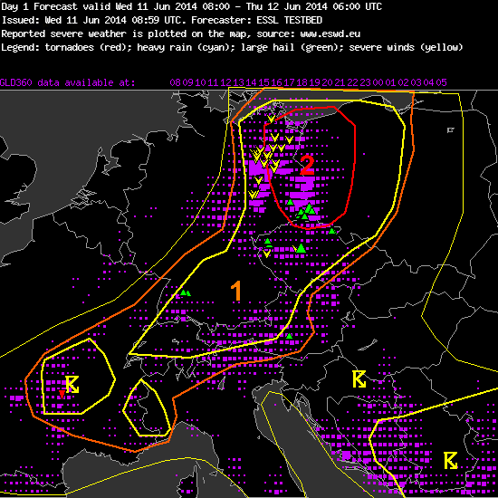
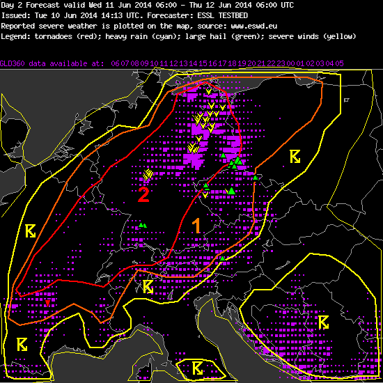
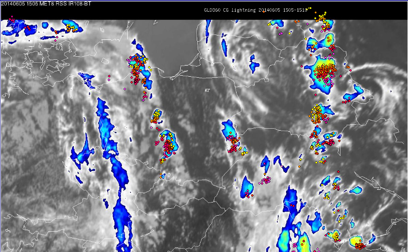
The first week of ESSL Testbed 2014 comes to an end. Today our participants issued their last nowcasting, long and short term forecasts. The most interesting forecast for Sunday evening we provide below:
“Forecaster: ESSL TESTBED
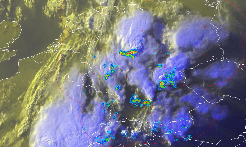
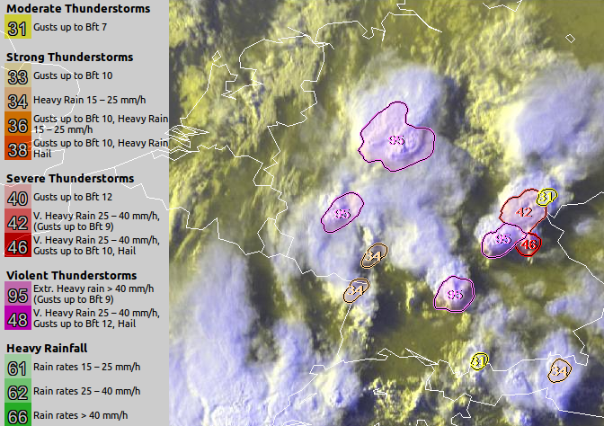
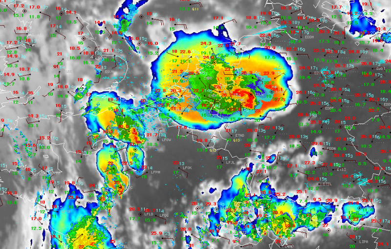
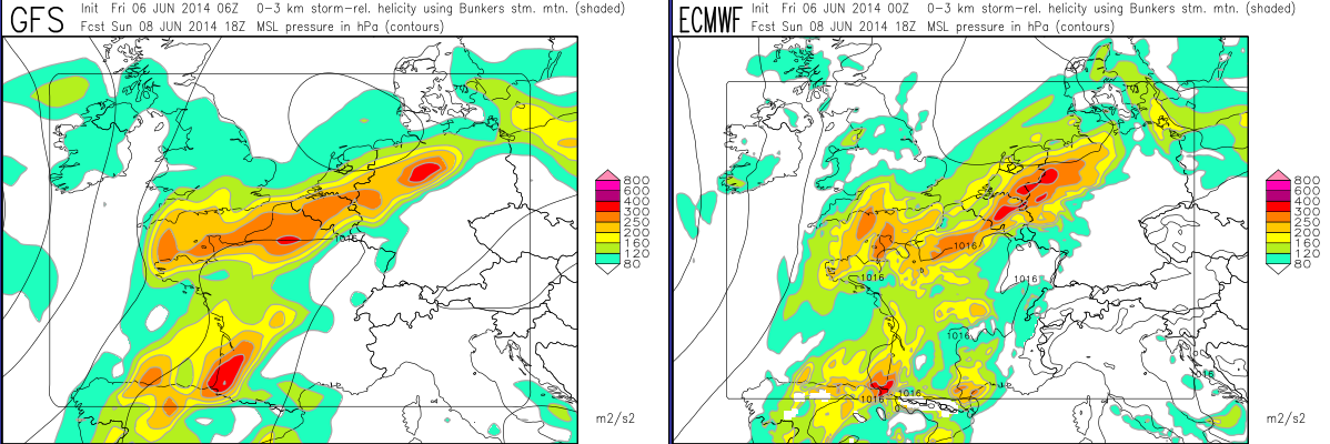
A trough over Western Europe with embedded short wave troughs moving northwards is still nearly stationary located with its eastern border just offshore the Western coasts/ British Isles. Diurnal heating and warm air advection from South West as well as large instability and strong deep layer shear lead to thunderstorms. In the area large hail, heavy precipitation and strong wind gusts can be expected.
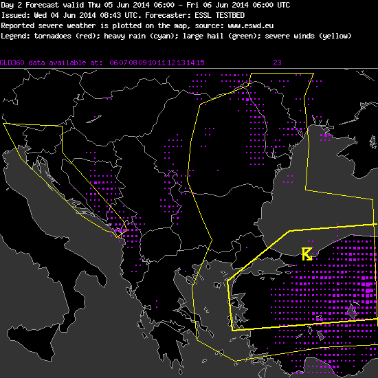
Severe weather is expected in Eastern Europe (Serbia, Romania, Moldavia, Ukraine, W Russia): Former air mass boundary between hot dry air to the East and moist air to the West is moving SE as a cold front. Due to high CAPE values and existing moisture thunderstorms with large hail and heavy precipitation are expected. In the SW part of the area significant low level shear could support local tornadic storms.
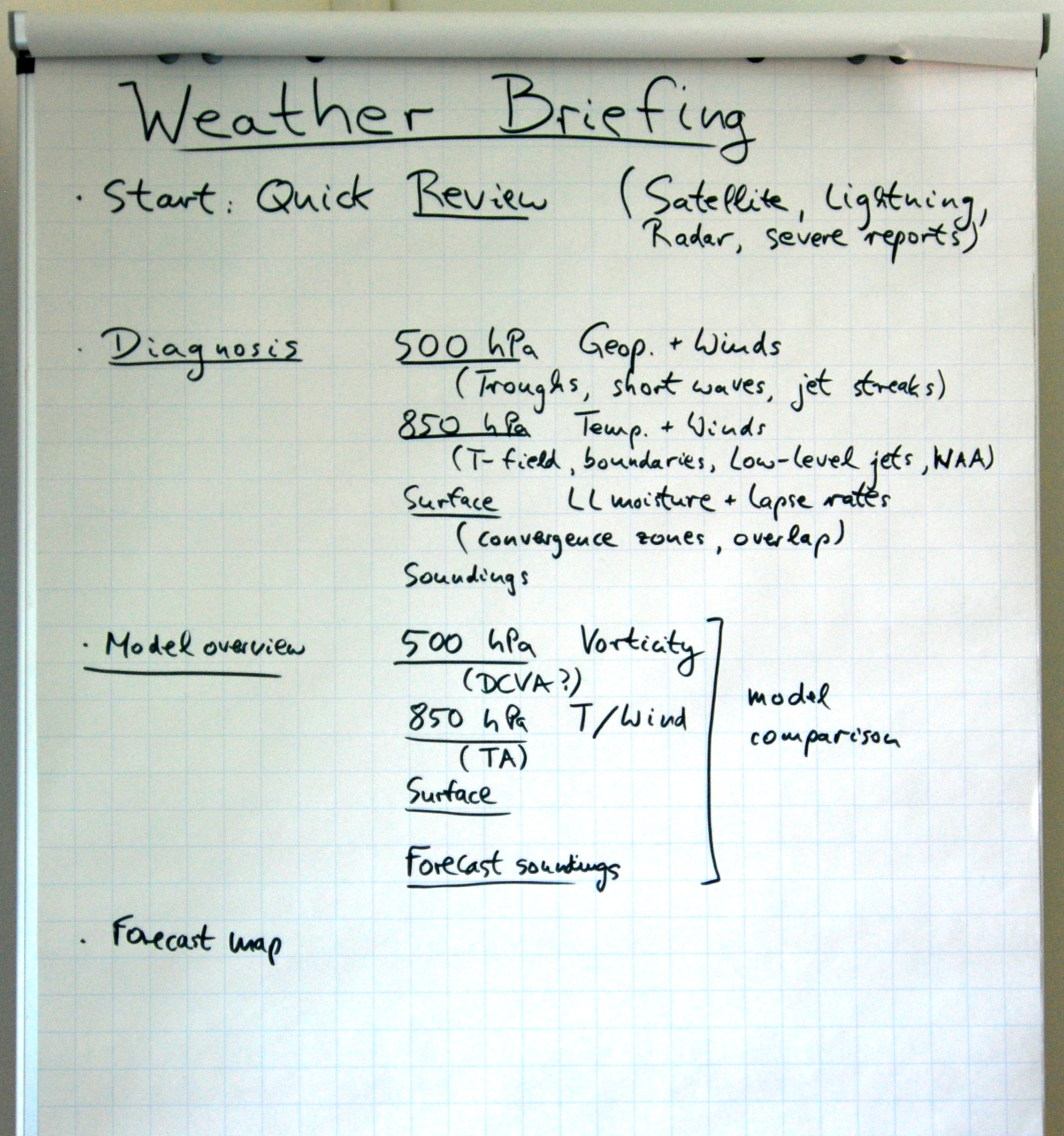
Subjective weighting of guidance by these products when making the forecast, on a scale of 0 to 4 (0 not used at all, 4 strongest weight):
GFS: 2
ECMWF: 3
ECMWF-EFI: 0
ALARO: 0
COSMO-EU: 0″
_____________________________
Indeed, as we take a look at GFS and ECMW predictions of CAPE, DLS and SRH, they seems to overlay quite well. However, since current forecast indicate that QG-lift is not favorable there is uncertainty whether thunderstorms will occur. Situation is interesting and worth to monitor in following hours.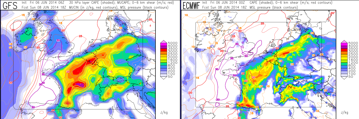
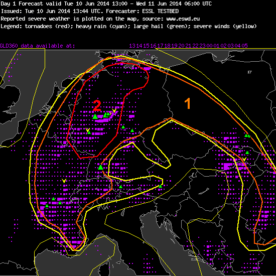
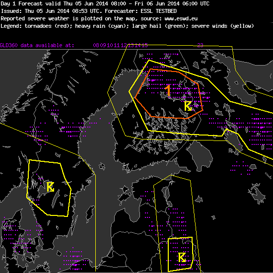
In the morning our participants also issued forecast for Paris domain for Saturday, which also seems to be interesting:
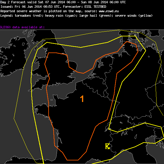
“Forecaster: ESSL TESTBED
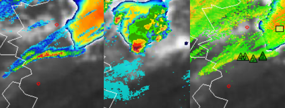
A level 1 was issued for central and northern France, Benelux, north-western Germany and southern part of British Isles for severe convection.
Central and northern France, Benelux, north-western Germany and southern part of British Isles is expected also for heavy rain and locally hail (especially in northern France and Benelux countries). Central and northern France is expected also for a gusty wind up to 90 km/h”
__________________
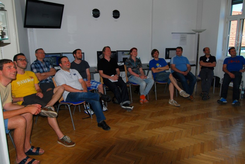
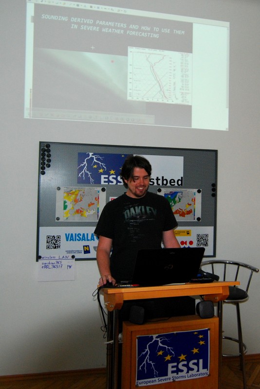
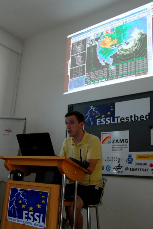
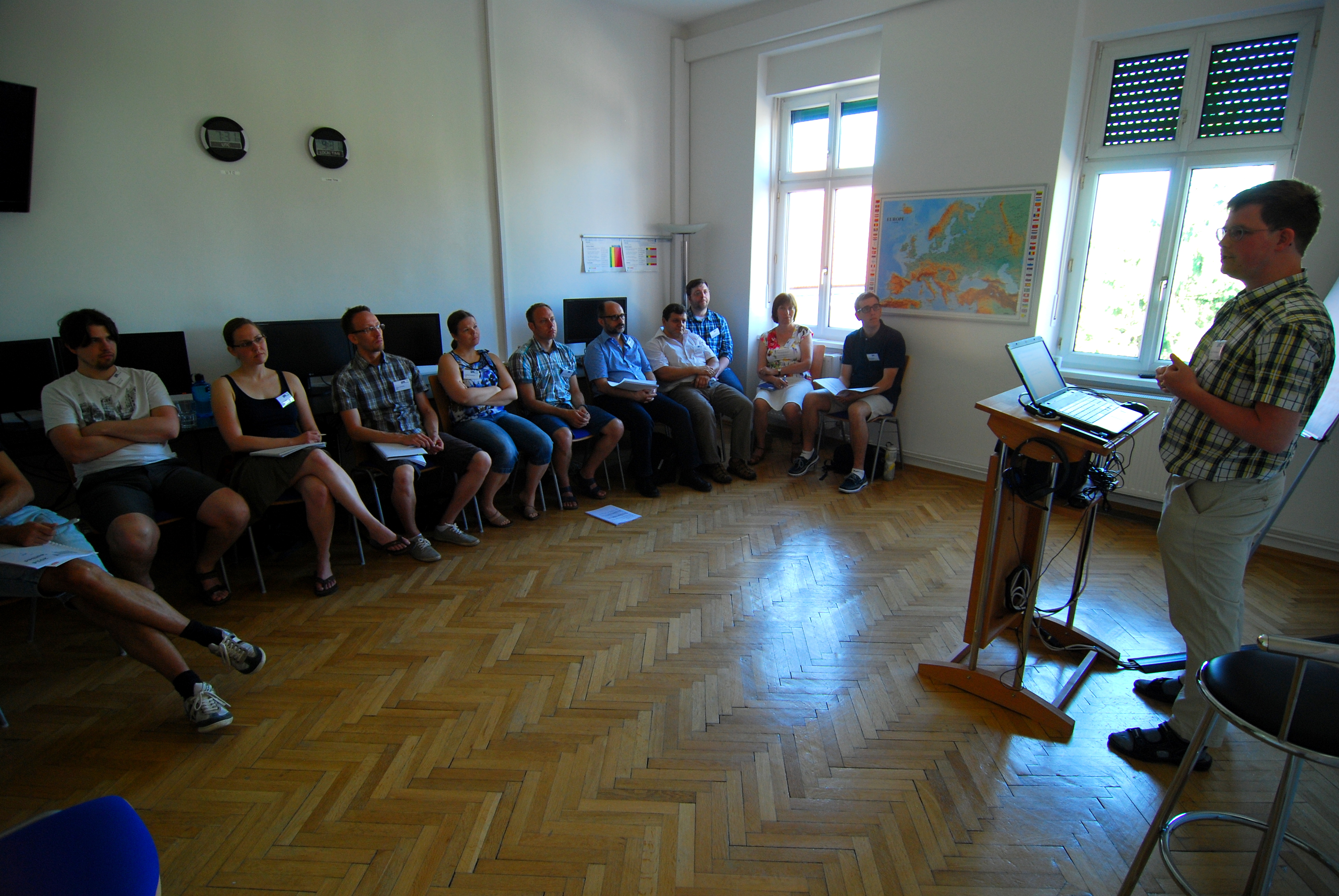
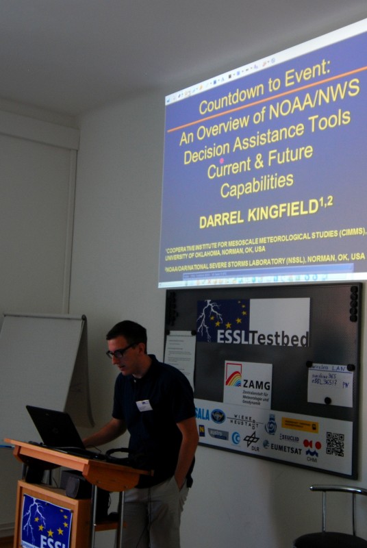
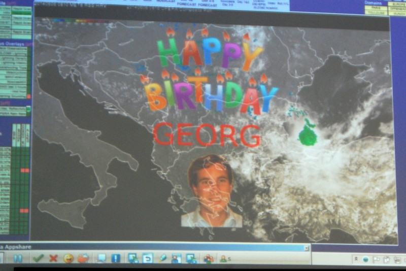
But let’s get back to our last day of Testbed’s week 1: Expert lecture about convective windstorms in Europe was presented by Christoph Gatzen from ESTOFEX. Christoph pointed that when forecasting severe wind events, we have to take into account much more factors than only dry air in mid-levels and 850hPa windspeed. In general we need deep moist persistent convection to produce severe wind gusts. During weather briefing there was also a birthday suprise for Georg! 🙂
In the end of the day all participants completed surveys concerning the ESSL Testbed and provided feedback to experimental products.We would like to thanks all participants for interesting forecasts and curious discussions about the weather. You provided a great international atmosphere during the whole week!
See you soon and have a safe trip!