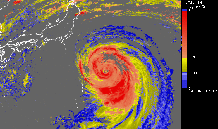
Convective Initiation (CI)
Demonstrational product by NWC SAF.
Application:
CI provides an estimation of the probability for a low cloud to develop as a thunderstorm in the next 0-30’, 0-60’ or 0-90’ interval.
The product aims to catch the first steps of initiation of convection, when the first convective signs occur after the formation of clouds, or when those signs appear revealing a modification of environmental conditions.
Advantages:
✓ Available over the geostationary satellite coverage.
✓ Useful for early warning systems and forecasting.
Limitations:
X No detection In cases of cirrus above low clouds.
X High False Alarm Rate inherent to CI.
X Lack of validation.
Accessibility and Dissemination:
- Local installation: Product is accessible after registration (signed contract) at NWCSAF and installation of NWCSAF GEO V2016 in the local environment. It can be run every 15 minutes or with the different settings every 5 minutes RSS. Output format is NetCdf.
- Images for the last 24h, updated every 15 minutes at NWCSAF web site: http://www.nwcsaf.org/ci
Additional Information:
Web site
Training Module
Practical info and documentation
Overview modified after NWC SAF Practical Guide by V. Nietosvaara, EUMETSAT, 2018.